Chest opened
+${chestReward.xp} XP
Explorer
NOUVEAU ×${chestReward.collectible.quantity}
tapez pour fermer

See the monuments around you in AR Open chests in the app

Around Us is built for your phone — point your camera at the streets and discover the monuments and places around you in augmented reality. Around Us is built for your phone — chests unlock when you walk, explore and capture nearby places.

•

Enable Location

We need your location to show you interesting places around you

Discover nearby places

Find interesting locations and hidden gems around you

Precise directions

Get accurate directions and distances to places

Your location is never shared with other users. It's only used when you tap the location button.

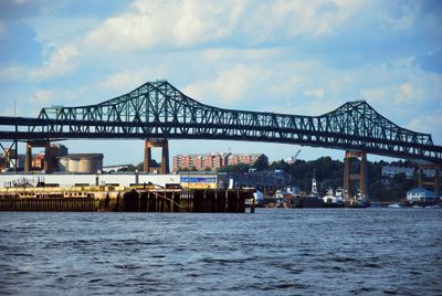
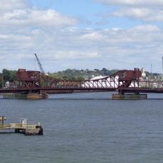
Tobin Bridge

Log in to your account

Start exploring — it's free

Trusted by 90,034 travelers worldwide

Continue with Google
Continue with Apple
or

We will send you a code to connect

By continuing, you accept our Terms and Conditions and our Privacy Policy

Check your inbox

We've sent a pincode in your inbox. Please enter the code below.

Discussion Reviews 1 Photos
31k Popularity

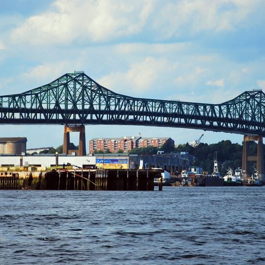
Tobin Bridge, Cantilever road bridge in Boston, United States

Audio guide · About one minute
Preparing your audio guide… The audio guide could not be loaded, please retry.Sign in to listen to the audio guide

The Tobin Bridge is a steel cantilever span over the Mystic River in Massachusetts, linking Boston to Chelsea. The two-level structure carries three traffic lanes on each deck and runs roughly 3,600 feet (1,100 meters) in length.

The crossing opened on February 27, 1950, after two years of work by the Massachusetts Department of Transportation. It was renamed in 1967 to honor Maurice J. Tobin, who served as governor during its completion.

This crossing has carried the name of former mayor and governor Maurice J. Tobin since 1967, honoring his time in office during construction. His name appears on signs at both ends of the span.

Tolls are collected electronically through transponders or license plate recognition, so no stops are required. Traffic flows without traditional booths, which were removed in 2014.

The center section spans roughly 800 feet (244 meters) and the layout runs on two levels, with northbound cars traveling below and southbound ones above. This arrangement allows separate traffic flows without crossing inside the structure.

The community of curious travelers

AroundUs brings together thousands of curated places, local tips, and hidden gems, enriched daily by 60,000 contributors worldwide.
Start exploring
Location
Inception
February 27, 1950
Official opening
1950
Made from material
steel
GPS coordinates
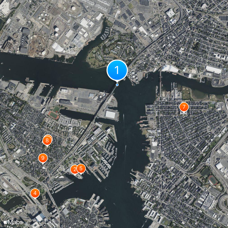
42.38179,-71.05035
Latest update
September 17, 2026 02:18
Around this place
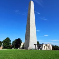
Bunker Hill Monument
United States of America

Bunker Hill Monument

0.7 mi
Boston Navy Yard
United States of America

Boston Navy Yard

0.7 mi
USS Cassin Young
United States of America

USS Cassin Young

0.7 mi
Port of Boston
United States of America

Port of Boston

0.6 mi
Breed's Hill
United States of America

Breed's Hill

0.7 mi
Eagle Hill Historic District
United States of America

Eagle Hill Historic District

0.8 mi
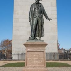
Statue of William Prescott
United States of America

Statue of William Prescott

0.7 mi
Andrew P. McArdle Memorial Bridge
United States of America

Andrew P. McArdle Memorial Bridge

0.6 mi
Massachusetts Korean War Memorial
United States of America

Massachusetts Korean War Memorial

0.5 mi
Donald McKay House
United States of America

Donald McKay House

0.7 mi
Boston Marine Society
United States of America

Boston Marine Society

0.5 mi
Trinity Neighborhood House
United States of America

Trinity Neighborhood House

0.6 mi
Monument Square Historic District
United States of America

Monument Square Historic District

0.6 mi
Naval Hospital Boston Historic District
United States of America

Naval Hospital Boston Historic District

0.5 mi
Downtown Chelsea Residential Historic District
United States of America

Downtown Chelsea Residential Historic District

0.8 mi
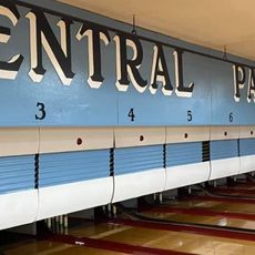
Central Park Lanes Bowling Center
United States of America

Central Park Lanes Bowling Center

0.7 mi
Old East Boston High School
United States of America

Old East Boston High School

0.8 mi
United States of America

Guiding Giants

0.8 mi
East Boston Branch Library
United States of America

East Boston Branch Library

0.7 mi
United States of America

Death to Plastic

0.8 mi
United States of America

Protect What You Love

0.7 mi
United States of America

Unity

0.8 mi
United States of America

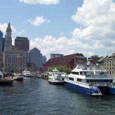
Cycleboat Boston

0.6 mi
United States of America

Colonel William Prescott

0.7 mi
United States of America

Chelsea Conversation

0.8 mi
United States of America

Mural

0.8 mi
United States of America

Mural

0.7 mi
United States of America

Scenic viewpoint

0.6 mi
Show the full map
Reviews
Share your experience

No review yet

Discussions
Start a discussion...

No discussion yet

« Tobin Bridge - Cantilever road bridge in Boston, United States » is provided by Around Us (aroundus.com). Images and texts are derived from Wikimedia project under a Creative Commons license. You are allowed to copy, distribute, and modify copies of this page, under the conditions set by the license, as long as this note is clearly visible.

Discover hidden gems everywhere you go!

From secret cafés to breathtaking viewpoints, skip the crowded tourist spots and find places that match your style. Our app makes it easy with voice search, smart filtering, route optimization, and insider tips from travelers worldwide. Download now for the complete mobile experience.

Around Us App Screenshot
❝

A unique approach to discovering new places❞

— Le Figaro

❝

All the places worth exploring❞

— France Info

❝

A tailor-made excursion in just a few clicks❞

— 20 Minutes

Around Us
Travel Guide & Maps
Download

Send to your phone

QR Code
1

Open the camera app on your mobile.

2

Point at the QR code with your camera. A notification will appear.

3

Tap the notification to open the link.