Mary Ellen Welch Greenway, Linear park in East Boston, US
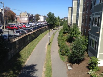
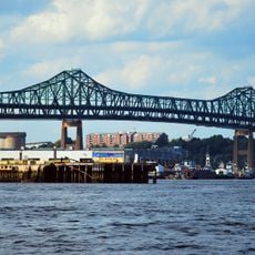
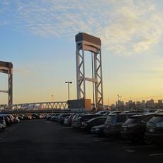
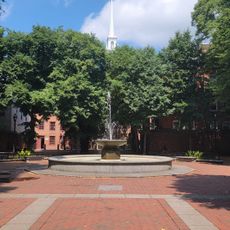
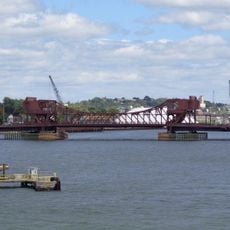
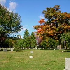
The Mary Ellen Welch Greenway is a linear park running through East Boston that connects several green spaces and waterfront parks. It follows a former railway corridor alongside the Blue Line, offering a continuous path for both pedestrians and cyclists.
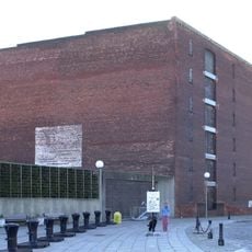
The greenway emerged from the conversion of an abandoned railway corridor that was transferred to the community in the 1990s. Development of the space took about a decade and created a new public area that reconnected the neighborhood to its waterfront.
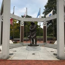
The greenway serves as a gathering place where residents and schools come together for environmental learning and community activities. It reflects the neighborhood's effort to reclaim waterfront access that was once closed off by industrial use.
The path is accessible to both pedestrians and cyclists and offers connections near the Blue Line station. You can enter at several points along its length, making it easy to plan a visit around your schedule.
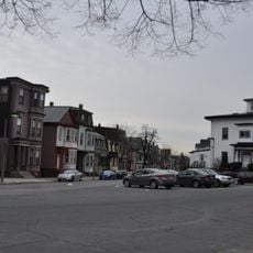
The site was once an active industrial area with railway tracks before being transformed into a public green space. This conversion shows how a heavily industrialized area can be reclaimed and reopened to the community.
Location: East Boston
GPS coordinates: 42.37560,-71.03000
Latest update: December 14, 2025 13:02
USS Constitution
2.1 km
Old North Church
2.3 km
Boston Navy Yard
1.9 km
Tobin Bridge
1.8 km
USS Cassin Young
2 km
Copp's Hill Burying Ground
2.4 km
Equestrian statue of Paul Revere
2.2 km
United States lightship Nantucket
1.7 km
Chelsea Street Bridge
1.3 km
Paul Revere Mall
2.2 km
Eagle Hill Historic District
710 mOld North Memorial Garden
2.3 km
Our Lady of Mount Carmel Church
688 m
Congregation Agudath Shalom
2 km
Andrew P. McArdle Memorial Bridge
1.4 km
Massachusetts Korean War Memorial
1.9 km
Donald McKay House
781 m
Temple Ohabei Shalom Cemetery
1.5 km
Bellingham Square Historic District
1.9 km
Trinity Neighborhood House
947 m
Naval Hospital Boston Historic District
1.9 km
Baker Congregational Church
1.4 km
Bennington Street Burying Ground
951 m
Ozias Goodwin House
2.2 km
Downtown Chelsea Residential Historic District
1.6 km
Theodore Lyman School
756 m
Hoosac Stores
2.3 km
East Boston Branch Library
761 mVisited this place? Tap the stars to rate it and share your experience / photos with the community! Try now! You can cancel it anytime.
Discover hidden gems everywhere you go!
From secret cafés to breathtaking viewpoints, skip the crowded tourist spots and find places that match your style. Our app makes it easy with voice search, smart filtering, route optimization, and insider tips from travelers worldwide. Download now for the complete mobile experience.
A unique approach to discovering new places❞
— Le Figaro
All the places worth exploring❞
— France Info
A tailor-made excursion in just a few clicks❞
— 20 Minutes