Enable Location

We need your location to show you interesting places around you

Discover nearby places

Find interesting locations and hidden gems around you

Precise directions

Get accurate directions and distances to places

Your location is never shared with other users. It's only used when you tap the location button.

Smyth County

Log in to your account

Start exploring — it's free

Trusted by 61,978 travelers worldwide

Continue with Google
Continue with Apple
or

We will send you a code to connect

By continuing, you accept our Terms and Conditions and our Privacy Policy

Check your inbox

We've sent a pincode in your inbox. Please enter the code below.

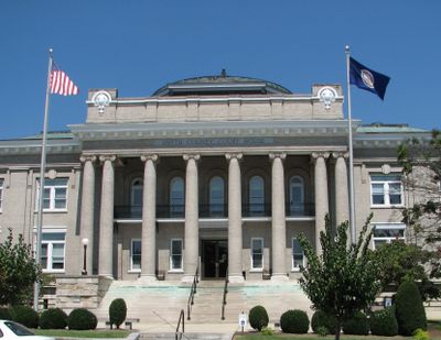
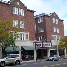
Smyth County, Administrative county in Southwest Virginia, United States

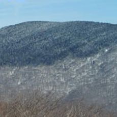
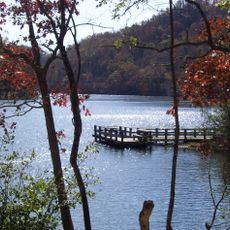
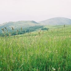
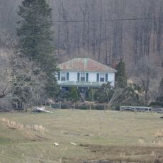
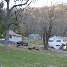
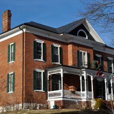
Smyth County is an administrative county in Southwest Virginia with rolling hills, valleys, and forests spread across the landscape. The terrain is shaped by the Appalachian Mountains, creating a varied mix of elevated areas and wooded valleys.

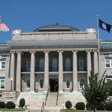
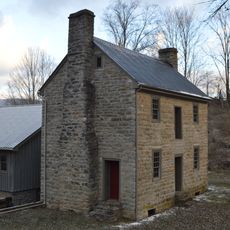
The county was established in 1832 and named after General Alexander Smyth, who served in the War of 1812. This creation came during a period when the region was developing its own local governing structure.

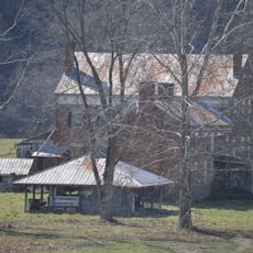
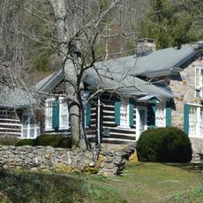
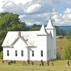
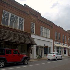
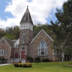
Appalachian traditions shape the area through local festivals, crafts, and music that visitors encounter in small towns and community gatherings throughout the county. These cultural roots run deep in how residents live and celebrate together.

Interstate 81 and US Route 11 pass through the county, connecting it to neighboring areas and larger towns. These roads make it straightforward to reach different communities and natural areas within the region.

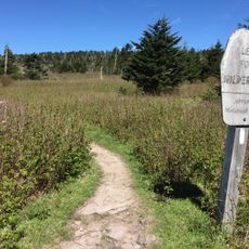
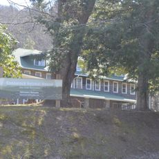
Mount Rogers National Recreation Area sits within Jefferson National Forest and spreads across parts of the county with extensive trails and outdoor opportunities. Visitors find access to some of Virginia's highest peaks here, making the region notable for nature lovers.

The community of curious travelers

AroundUs brings together thousands of curated places, local tips, and hidden gems, enriched daily by 60,000 contributors worldwide.

Start exploring
Location
Inception
1832
Capital city
Marion
Shares border with
Tazewell County, Russell County, Bland County, Wythe County, Grayson County, Washington County
GPS coordinates
36.84000,-81.53000
Latest update
December 7, 2025 19:26
Around this place
Mount Rogers
United States of America

Mount Rogers

20.1 km
Hungry Mother State Park
United States of America

Hungry Mother State Park

4.6 km
Whitetop Mountain
United States of America

Whitetop Mountain

23.4 km
Lincoln Theatre
United States of America

Lincoln Theatre

1.2 km
Preston House
United States of America

Preston House

8.7 km
Abijah Thomas House
United States of America

Abijah Thomas House

8.2 km
Ripshin Farm
United States of America

Ripshin Farm

19.2 km
Lewis Fork Wilderness
United States of America

Lewis Fork Wilderness

20.1 km
Mountain Glen
United States of America

Mountain Glen

25.4 km
United States of America

Mount Rogers Cluster

20.1 km
United States of America

Whitetop Mountain

23.1 km
United States of America

Whitetop Laurel

27.7 km
Mount Rogers Crest Zone
United States of America

Mount Rogers Crest Zone

20.9 km
Preston House
United States of America

Preston House

20.9 km
Saltville Battlefields Historic District
United States of America

Saltville Battlefields Historic District

21.3 km
Konnarock Training School
United States of America

Konnarock Training School

20.2 km
Brook Hall
United States of America

Brook Hall

25.8 km
Henderson Building
United States of America

Henderson Building

1.8 km
Sharon Lutheran Church and Cemetery
United States of America

Sharon Lutheran Church and Cemetery

25.3 km
Marion Historic District (Marion, Virginia)
United States of America

Marion Historic District (Marion, Virginia)

1.1 km
Kimberling Lutheran Cemetery
United States of America

Kimberling Lutheran Cemetery

21.8 km
A.C. Beatie House
United States of America

A.C. Beatie House

14.5 km
H.L. Bonham House
United States of America

H.L. Bonham House

14.4 km
Marion Male Academy
United States of America

Marion Male Academy

1 km
Downtown Chilhowie Historic District
United States of America

Downtown Chilhowie Historic District

14.3 km
Saltville Historic District
United States of America

Saltville Historic District

21.3 km
Scott-Walker House
United States of America

Scott-Walker House

17.8 km
Glade Spring Commercial Historic District
United States of America

Glade Spring Commercial Historic District

22.4 km
Show the full map
Administrative divisions
« Smyth County - Administrative county in Southwest Virginia, United States » is provided by Around Us (aroundus.com). Images and texts are derived from Wikimedia project under a Creative Commons license. You are allowed to copy, distribute, and modify copies of this page, under the conditions set by the license, as long as this note is clearly visible.

Discover hidden gems everywhere you go!

From secret cafés to breathtaking viewpoints, skip the crowded tourist spots and find places that match your style. Our app makes it easy with voice search, smart filtering, route optimization, and insider tips from travelers worldwide. Download now for the complete mobile experience.

Around Us App Screenshot

A unique approach to discovering new places

Le Figaro

All the places worth exploring

France Info

A tailor-made excursion in just a few clicks

20 Minutes

Around Us
Travel Guide & Maps
Download

Send to your phone

QR Code
1

Open the camera app on your mobile.

2

Point at the QR code with your camera. A notification will appear.

3

Tap the notification to open the link.