Whitetop Mountain, Mountain summit in Virginia, United States.
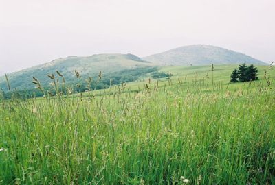
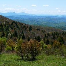
Whitetop Mountain is a granite summit in Virginia and the second highest independent peak in the state. It sits within the Appalachian range, where exposed rock surfaces are visible near the top.
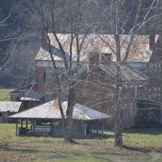
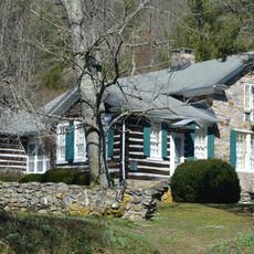
Indigenous peoples used the area long before European settlers arrived in the region. In the 20th century, the mountain gained wider attention when a folk festival was held here between 1931 and 1939, drawing visitors from across the country.
The mountain hosted the White Top Folk Festival from 1932 to 1939, drawing musicians and dancers who celebrated regional traditions. This event became a landmark for local identity and showcased the deep roots of mountain music in the area.
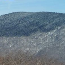
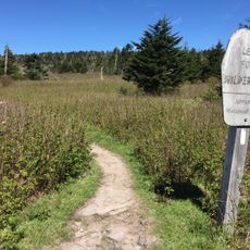
A forest road leads close to the summit but can become icy and difficult to drive in winter. Weather near the top can shift quickly, so bringing extra layers is a good idea even in warmer months.
Red spruce trees grow near the top of Whitetop Mountain, a species that normally lives much farther north. The high elevation cools the air enough to mimic the conditions of a northern forest, creating a small pocket of northern woodland in the middle of Virginia.
The community of curious travelers
AroundUs brings together thousands of curated places, local tips, and hidden gems, enriched daily by 60,000 contributors worldwide.