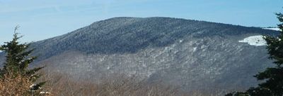
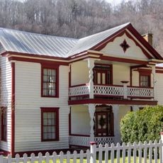
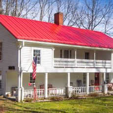
Mount Rogers, Mountain summit in Virginia, United States.
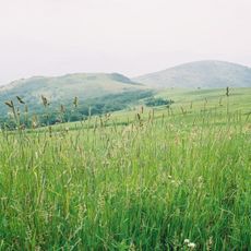
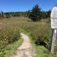
Mount Rogers is Virginia's highest peak, located within Jefferson National Forest and covered with dense forests of spruce and fir trees. The mountain connects with the Appalachian Trail system through multiple hiking routes that traverse its slopes and meadows.
The mountain takes its name from William Barton Rogers, who served as both the first president of MIT and Virginia's inaugural State Geologist. The peak sits on ancient geological formations shaped by natural forces over millions of years.
Wild ponies roam the open grasslands around the summit as part of the mountain's natural community, shaping the appearance of the high meadows. These animals are woven into the place's identity and how visitors experience the landscape today.
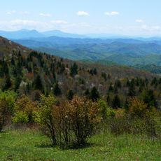
A hiking trail of approximately 7 kilometers connects Grayson Highlands State Park to the summit and can be completed in a day trip. The best time to visit is spring through autumn, when trails are in good condition and visibility from the peak is clear.
The mountain rests on ancient lava flows from the Precambrian era that are thousands of meters thick, evidence of massive volcanic eruptions from hundreds of millions of years ago. These geological layers tell the story of how such ancient events shaped what you see today.
The community of curious travelers
AroundUs brings together thousands of curated places, local tips, and hidden gems, enriched daily by 60,000 contributors worldwide.