Dent County

Log in to your account

AroundUs is a community-driven map of interesting places, built by curious explorers like you. It grows with every review, story, and photo you share.
Connect to save your favorite spots, contribute locations, and create personalized routes.
Continue with Google
Continue with Apple
Continue with X
Continue with Facebook
Continue with email
By continuing, you accept our Terms and Conditions and our Privacy Policy
Create an account
Add to collection
Map
Suggest a change
Share

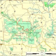
Dent County, County in central Missouri, United States

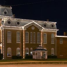
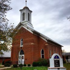
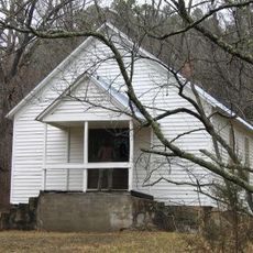
Dent County is an administrative county in central Missouri, encompassing Salem as its county seat and governmental hub. The region spans rolling countryside with several small towns and rural communities spread across its area.

The county was established in 1851 by the Missouri Assembly and named after Lewis Dent, a state representative who migrated from Virginia decades earlier. This creation occurred during Missouri's period of territorial expansion and local government organization.

The County Commission maintains strong local governance through three commissioners who represent districts and make decisions affecting the entire county administration.

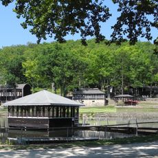
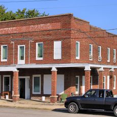
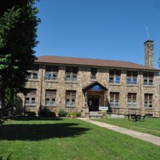
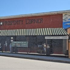
Visitors can find Salem conveniently located near the geographic center of the county, where most government services are concentrated. The region connects via several highways and contains small communities with basic services and amenities.

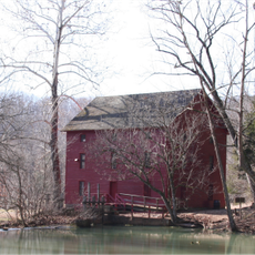
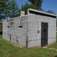
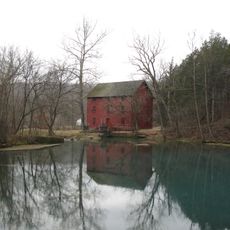
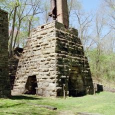
A historic iron furnace called Sligo operated in the county from 1880 to 1923, producing pig iron for regional industrial needs. This facility represents an often-overlooked chapter of the county's industrial past.

Location: Missouri

Inception: February 10, 1851

Capital city: Salem

Elevation above the sea: 379 m

Shares border with: Crawford County, Texas County, Shannon County, Phelps County, Iron County, Reynolds County

Website: https://salemmo.com/dent

GPS coordinates: 37.60663,-91.50788

Latest update: December 7, 2025 20:24

Photos
Around this place
United States of America

Echo Bluff State Park

34.1 km
Maramec Spring
United States of America

Maramec Spring

38.9 km
Bell Mountain Wilderness
United States of America

Bell Mountain Wilderness

55.7 km
Dillard Mill State Historic Site
United States of America

Dillard Mill State Historic Site

29.3 km
Current River State Park
United States of America

Current River State Park

32.3 km
Roger Pryor Pioneer Backcountry
United States of America

Roger Pryor Pioneer Backcountry

30.2 km
Allgood–Bailey Stadium
United States of America

Allgood–Bailey Stadium

45.2 km
Fort Wyman
United States of America

Fort Wyman

43.7 km
Alley Spring Roller Mill
United States of America

Alley Spring Roller Mill

50.7 km
George B. Hamilton House
United States of America

George B. Hamilton House

51.7 km
Rolla Ranger Station Historic District
United States of America

Rolla Ranger Station Historic District

45 km
Dent County Courthouse
United States of America

Dent County Courthouse

5 km
Phelps County Courthouse
United States of America

Phelps County Courthouse

44.4 km
Alton Club
United States of America

Alton Club

32.1 km
Hotel Cuba
United States of America

Hotel Cuba

51.5 km
Cuba City Jail
United States of America

Cuba City Jail

51.4 km
Cuba High School Annex
United States of America

Cuba High School Annex

51.6 km
St. James Chapel
United States of America

St. James Chapel

44.1 km
John Manson Munro House
United States of America

John Manson Munro House

51.5 km
Uptown Cuba Historic District
United States of America

Uptown Cuba Historic District

51.4 km
Cuba Lodge No. 312 A.F. and A.M.
United States of America

Cuba Lodge No. 312 A.F. and A.M.

51.5 km
Alley Spring
United States of America

Alley Spring

50.7 km
Pulltite
United States of America

Pulltite

30.4 km
Montauk State Park
United States of America

Montauk State Park

22.9 km
Montauk State Park Open Shelter
United States of America

Montauk State Park Open Shelter

23.6 km
Lower Parker School
United States of America

Lower Parker School

21.2 km
Maramec Iron Works
United States of America

Maramec Iron Works

39 km
Old Mill at Montauk State Park
United States of America

Old Mill at Montauk State Park

23.3 km
Show the full map
Reviews

Visited this place? Tap the stars to rate it and share your experience / photos with the community! Try now! You can cancel it anytime.

Administrative divisions
« Dent County - County in central Missouri, United States » is provided by Around Us (aroundus.com). Images and texts are derived from Wikimedia project under a Creative Commons license. You are allowed to copy, distribute, and modify copies of this page, under the conditions set by the license, as long as this note is clearly visible.

Discover hidden gems everywhere you go!

From secret cafés to breathtaking viewpoints, skip the crowded tourist spots and find places that match your style. Our app makes it easy with voice search, smart filtering, route optimization, and insider tips from travelers worldwide. Download now for the complete mobile experience.

Around Us App Screenshot

A unique approach to discovering new places

Le Figaro

All the places worth exploring

France Info

A tailor-made excursion in just a few clicks

20 Minutes