
Mahoning County, Administrative county in northeastern Ohio, United States
Mahoning County spans 425 square miles of land and water, featuring both urban areas and natural landscapes across northeastern Ohio.
The territory was originally inhabited by Erie and Whittlesey Native American nations until conflicts led to their displacement by the Iroquois Confederacy.
Council Rock in Lincoln Park served as a central gathering location for Shawnee and Lenape tribes to conduct ceremonies and political meetings.
The county offices provide essential services through departments including the Clerk of Courts, Auditor, Recorder, and Board of Commissioners.
The demographic composition reflects substantial immigration patterns, with German and Italian ancestries representing nearly 40 percent of the population.
Location: Ohio
Inception: March 1, 1846
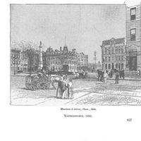
Capital city: Youngstown
Shares border with: Mercer County, Lawrence County, Trumbull County, Portage County, Stark County, Columbiana County
Website: http://mahoningcountyoh.gov
GPS coordinates: 41.02000,-80.77000
Latest update: May 26, 2025 21:46

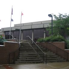
Beeghly Center
14.1 km
Mill Creek Park
6.1 km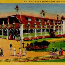
Idora Park
9.2 km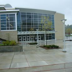
Covelli Centre
13.5 km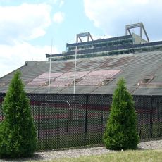
Stambaugh Stadium
14.2 km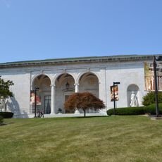
Butler Institute of American Art
14.1 km
Stambaugh Auditorium
14.4 km
Powers Auditorium
13.4 km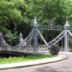
Mill Creek Park Suspension Bridge
9 km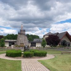
Basilica and National Shrine of Our Lady of Lebanon
13 km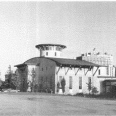
Youngstown Historical Center of Industry and Labor
13.5 km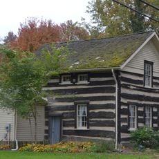
Austintown Log House
5.6 km
Judge William Shaw Anderson House
9.3 km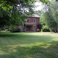
John Street House
14.8 km
Wick Building
13.5 km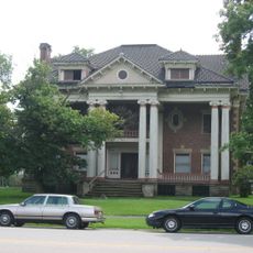
George J. Renner, Jr. House
14.5 km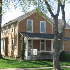
Burchfield Homestead
14.5 km
Masonic Temple
13.8 km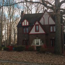
Newport Village Historic District
9.7 km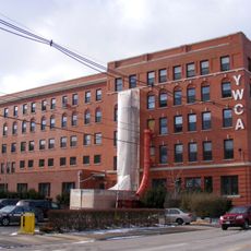
YWCA Youngstown
13.8 km
St. James Episcopal Church
10.1 km
William H. McGuffey Boyhood Home Site
20.7 km
Arlington Avenue District
13.9 km
Alliance Clay Product Company
29.3 km
Youngstown Historical Center of Industry & Labor
13.6 km
Metropolitan Tower
13.4 km
Idora Park Experience
4.6 km
Canfield Township Hall
943 mReviews
Visited this place? Tap the stars to rate it and share your experience / photos with the community! Try now! You can cancel it anytime.
Discover hidden gems everywhere you go!
From secret cafés to breathtaking viewpoints, skip the crowded tourist spots and find places that match your style. Our app makes it easy with voice search, smart filtering, route optimization, and insider tips from travelers worldwide. Download now for the complete mobile experience.

A unique approach to discovering new places❞
— Le Figaro
All the places worth exploring❞
— France Info
A tailor-made excursion in just a few clicks❞
— 20 Minutes