Enable Location

We need your location to show you interesting places around you

Discover nearby places

Find interesting locations and hidden gems around you

Precise directions

Get accurate directions and distances to places

Your location is never shared with other users. It's only used when you tap the location button.

Athens County

Log in to your account

Start exploring — it's free

Trusted by 61,862 travelers worldwide

Continue with Google
Continue with Apple
or

We will send you a code to connect

By continuing, you accept our Terms and Conditions and our Privacy Policy

Check your inbox

We've sent a pincode in your inbox. Please enter the code below.

Athens County, Administrative county in southeastern Ohio, United States.

Description

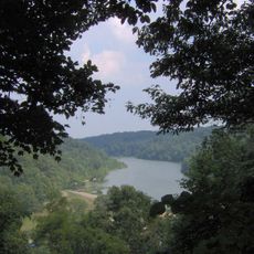
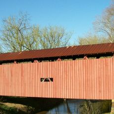
Athens County is an administrative county in southeastern Ohio that spans hilly terrain with valleys and numerous waterways throughout the region. The landscape is shaped by the Unglaciated Allegheny Plateau with its distinctive rolling topography.

History

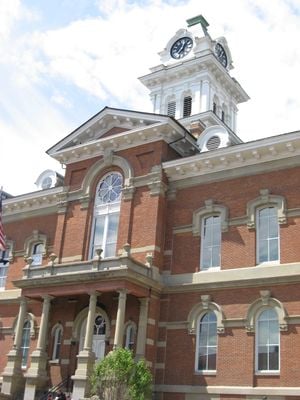
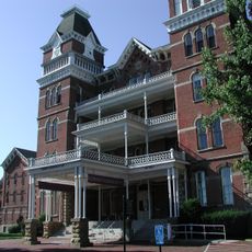
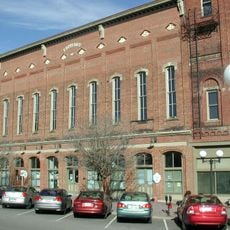
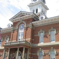
The area was established as an administrative county in 1805 when it was separated from Washington County, with Athens designated as the county seat. This formation marked an important step in the infrastructure development of southeastern Ohio.

Culture

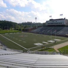
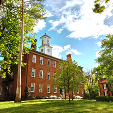
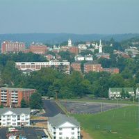
Ohio University and Hocking College shape the county's character through their students and academic staff, who form a significant part of the everyday population.

Practical

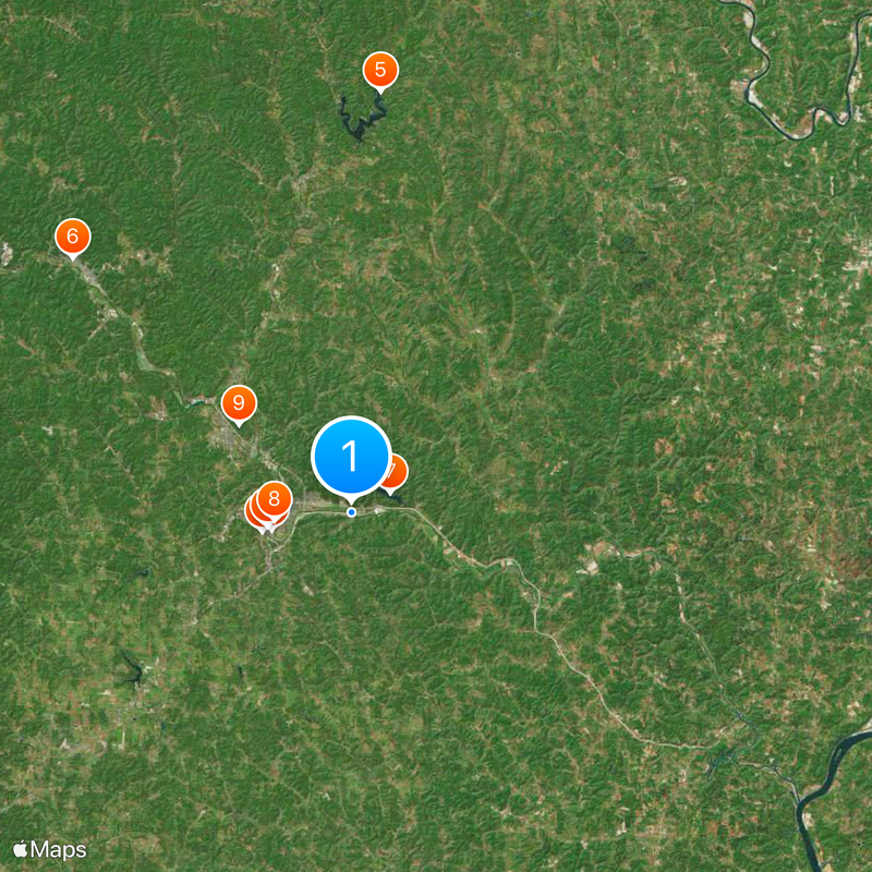
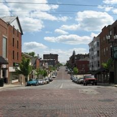
The best way to explore the area is by car, as communities are connected through state routes and spread across the hilly landscape. Administration and services are centered in Athens, which is easily accessible and serves as a starting point for exploring the region.

Did you know?

A large share of the population is connected to educational institutions, making the region an important academic center in Ohio. This concentration notably shapes the local economy, infrastructure, and community development.

Location
Inception
February 20, 1805
Capital city
Athens
Reference
ATH
Shares border with
Perry County, Meigs County, Hocking County, Vinton County, Morgan County, Washington County, Wood County
GPS coordinates
39.33000,-82.05000
Latest update
December 19, 2025 22:40

AroundUs brings together thousands of curated places, local tips, and hidden gems, enriched daily by 60,000 contributors worldwide. Discover all places nearby (Ohio).

Around this place
Athens Lunatic Asylum
United States of America

Athens Lunatic Asylum

5.2 km
Peden Stadium
United States of America

Peden Stadium

4.7 km
Convocation Center
United States of America

Convocation Center

4.8 km
Burr Oak State Park
United States of America

Burr Oak State Park

24 km
United States of America

Hocking Valley Scenic Railway Historic District

21.4 km
Strouds Run State Park
United States of America

Strouds Run State Park

2.5 km
Manasseh Cutler Hall
United States of America

Manasseh Cutler Hall

4.4 km
Wolf Plains
United States of America

Wolf Plains

8.1 km
United States of America

Lake Snowden

14.8 km
United States of America

Marie J. Desonier State Nature Preserve

18.7 km
John Calhoun Baker University Center
United States of America

John Calhoun Baker University Center

4.5 km
College Green of Ohio University
United States of America

College Green of Ohio University

4.4 km
United States of America

Acadia Cliffs State Nature Preserve

17.7 km
United States of America

Gifford State Forest

17.8 km
Stuart's Opera House
United States of America

Stuart's Opera House

21.4 km
Athens Governmental Buildings
United States of America

Athens Governmental Buildings

4.4 km
Athens State Hospital Cow Barn
United States of America

Athens State Hospital Cow Barn

5.9 km
Athens Downtown Historic District
United States of America

Athens Downtown Historic District

4.4 km
Shinn Covered Bridge
United States of America

Shinn Covered Bridge

28.9 km
Root Covered Bridge
United States of America

Root Covered Bridge

25.5 km
Blackwood Covered Bridge
United States of America

Blackwood Covered Bridge

16.1 km
United States of America

Fox Lake Wildlife Area

12.7 km
Strouds Ridge Preserve
United States of America

Strouds Ridge Preserve

2.2 km
Barkhurst Mill Covered Bridge
United States of America

Barkhurst Mill Covered Bridge

26.7 km
Kidwell Covered Bridge
United States of America

Kidwell Covered Bridge

14.7 km
Savage-Stewart House
United States of America

Savage-Stewart House

6.7 km
United States of America

Athens County Infirmary

10.3 km
Henry Covered Bridge
United States of America

Henry Covered Bridge

23.5 km
Show the full map
Administrative divisions
« Athens County - Administrative county in southeastern Ohio, United States » is provided by Around Us (aroundus.com). Images and texts are derived from Wikimedia project under a Creative Commons license. You are allowed to copy, distribute, and modify copies of this page, under the conditions set by the license, as long as this note is clearly visible.

Discover hidden gems everywhere you go!

From secret cafés to breathtaking viewpoints, skip the crowded tourist spots and find places that match your style. Our app makes it easy with voice search, smart filtering, route optimization, and insider tips from travelers worldwide. Download now for the complete mobile experience.

Around Us App Screenshot

A unique approach to discovering new places

Le Figaro

All the places worth exploring

France Info

A tailor-made excursion in just a few clicks

20 Minutes

Around Us
Travel Guide & Maps
Download

Send to your phone

QR Code
1

Open the camera app on your mobile.

2

Point at the QR code with your camera. A notification will appear.

3

Tap the notification to open the link.