Wabash County

Log in to your account

AroundUs is a community-driven map of interesting places, built by curious explorers like you. It grows with every review, story, and photo you share.
Connect to save your favorite spots, contribute locations, and create personalized routes.
Continue with Google
Continue with Apple
Continue with X
Continue with Facebook
Continue with email
By continuing, you accept our Terms and Conditions and our Privacy Policy
Create an account
Add to collection
Map
Suggest a change
Share

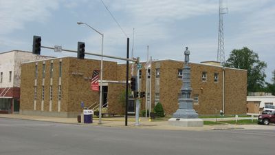
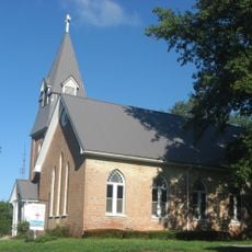
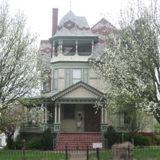
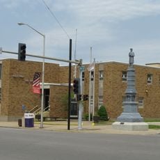
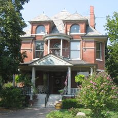
Wabash County, Administrative county in southern Illinois, United States.

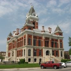
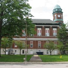
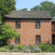
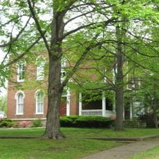
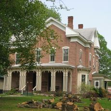
Wabash County is an administrative division in southern Illinois situated along the Wabash River, which marks its eastern and southern edges. The county encompasses a mix of rural farmland and small towns, with Mount Carmel serving as the central hub for local government.

The region was established in 1824 when it separated from Edwards County following disputes between Albion and Mount Carmel over where the administrative center should be located. This division created the county structure that exists today.

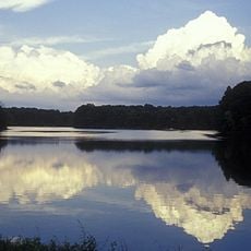
The region contains Beall Woods State Park, preserving 329 acres of original Eastern Woodlands ecosystem with native plant and animal species.

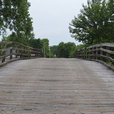
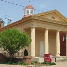
Mount Carmel is the main town where visitors can find administrative offices and local services, making it a logical starting point for exploring the county. The rural landscape offers straightforward access to state parks and natural areas without heavy development.

The area experienced one of Illinois's strongest earthquakes in April 2008, with the epicenter in Lick Prairie Township, an unusual event for the region. This seismic activity caught many residents by surprise given the area's typical geological stability.

Location: Illinois

Inception: December 27, 1824

Capital city: Mount Carmel

Shares border with: Lawrence County, Knox County, Gibson County, White County, Edwards County, Richland County

GPS coordinates: 38.44000,-87.84000

Latest update: December 7, 2025 20:45

Photos
Around this place
George Rogers Clark National Historical Park
United States of America

George Rogers Clark National Historical Park

37.6 km
Forts of Vincennes
United States of America

Forts of Vincennes

37.6 km
New Harmony's Atheneum
United States of America

New Harmony's Atheneum

35.4 km
St. Francis Xavier Cathedral and Library
United States of America

St. Francis Xavier Cathedral and Library

37.6 km
Roofless Church
United States of America

Roofless Church

35.3 km
Lincoln Memorial Bridge
United States of America

Lincoln Memorial Bridge

37.8 km
Red Hills State Park
United States of America

Red Hills State Park

32.3 km
Gibson County Courthouse
United States of America

Gibson County Courthouse

25.5 km
St. John's Episcopal Church
United States of America

St. John's Episcopal Church

20.3 km
William W. Gray House
United States of America

William W. Gray House

24.4 km
Wabash County Courthouse
United States of America

Wabash County Courthouse

7.7 km
Amon Clarence Thomas House
United States of America

Amon Clarence Thomas House

35.6 km
Bridge at Thirteenth Street
United States of America

Bridge at Thirteenth Street

23.5 km
Old State Bank
United States of America

Old State Bank

38 km
Lawrence County Courthouse
United States of America

Lawrence County Courthouse

35 km
Mattias Scholle House
United States of America

Mattias Scholle House

35.5 km
George Bentel House
United States of America

George Bentel House

35.4 km
Beall-Orr House
United States of America

Beall-Orr House

7.8 km
Ludwig Epple House
United States of America

Ludwig Epple House

35.4 km
Indiana Military Museum
United States of America

Indiana Military Museum

37 km
Welborn-Ross House
United States of America

Welborn-Ross House

24.9 km
Historic New Harmony Atheneum
United States of America

Historic New Harmony Atheneum

35.4 km
New Harmony Toll Bridge
United States of America

New Harmony Toll Bridge

35.5 km
Lyles Station Historic School & Museum
United States of America

Lyles Station Historic School & Museum

17.6 km
New Harmony Historic District
United States of America

New Harmony Historic District

35.5 km
The Labyrinth State Memorial
United States of America

The Labyrinth State Memorial

36.3 km
James Elliott Farm
United States of America

James Elliott Farm

35.4 km
Princeton Public Library
United States of America

Princeton Public Library

25.5 km
Show the full map
Reviews

Visited this place? Tap the stars to rate it and share your experience / photos with the community! Try now! You can cancel it anytime.

« Wabash County - Administrative county in southern Illinois, United States » is provided by Around Us (aroundus.com). Images and texts are derived from Wikimedia project under a Creative Commons license. You are allowed to copy, distribute, and modify copies of this page, under the conditions set by the license, as long as this note is clearly visible.

Discover hidden gems everywhere you go!

From secret cafés to breathtaking viewpoints, skip the crowded tourist spots and find places that match your style. Our app makes it easy with voice search, smart filtering, route optimization, and insider tips from travelers worldwide. Download now for the complete mobile experience.

Around Us App Screenshot

A unique approach to discovering new places

Le Figaro

All the places worth exploring

France Info

A tailor-made excursion in just a few clicks

20 Minutes