Enable Location

We need your location to show you interesting places around you

Discover nearby places

Find interesting locations and hidden gems around you

Precise directions

Get accurate directions and distances to places

Your location is never shared with other users. It's only used when you tap the location button.

Stephenson County

Log in to your account

Start exploring — it's free

Trusted by 61,339 travelers worldwide

Continue with Google
Continue with Apple
or

We will send you a code to connect

By continuing, you accept our Terms and Conditions and our Privacy Policy

Check your inbox

We've sent a pincode in your inbox. Please enter the code below.

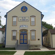
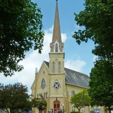
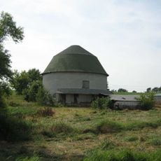
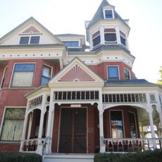
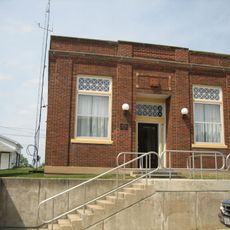
Stephenson County, County administrative division in northern Illinois, United States

Description

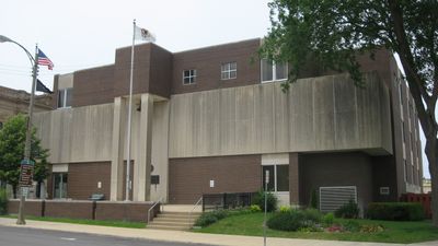
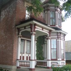
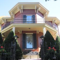
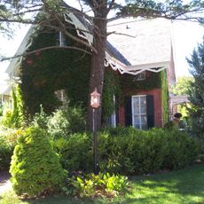
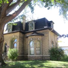
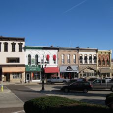
Stephenson County is an administrative division in northwestern Illinois that encompasses rolling terrain, river valleys, and extensive agricultural land. The county is governed from its seat in Freeport, which houses the main governmental offices and public facilities.

History

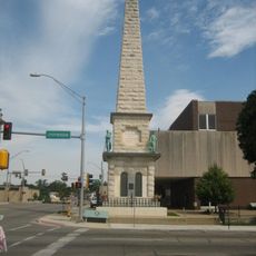
The area was established in 1837 and carved from portions of Jo Daviess and Winnebago counties. It takes its name from Colonel Benjamin Stephenson, an early Illinois representative who played a role in the region's formation.

Culture

Multiple schools, including Freeport High School and Lena-Winslow High School, provide education to students throughout the county's different communities.

Practical

Visitors should know that Freeport serves as the administrative hub where most public services are located and from which the county's various communities are accessible. The rural character means distances between towns can be considerable.

Did you know?

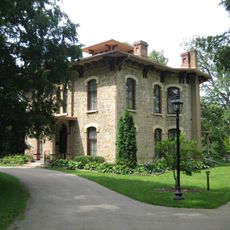
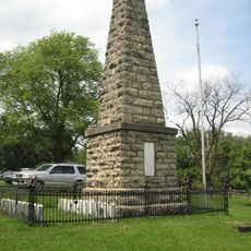
Kellogg's Grove, a preserved historical site within the county, marks territorial conflicts from the early settlement period. This location holds stories of the contentious beginnings of regional settlement.

Location
Inception
1837
Capital city
Freeport
Shares border with
Green County, Lafayette County, Carroll County, Jo Daviess County, Ogle County, Winnebago County
GPS coordinates
42.35000,-89.67000
Latest update
December 7, 2025 20:21

AroundUs brings together thousands of curated places, local tips, and hidden gems, enriched daily by 60,000 contributors worldwide. Discover all places nearby (Illinois).

Around this place
United States of America

Jane Addams Burial Site

4.4 km
AF and AM Lodge 687
United States of America

AF and AM Lodge 687

13.3 km
Union House
United States of America

Union House

13.3 km
Oscar Taylor House
United States of America

Oscar Taylor House

8.6 km
William H. Roberts House
United States of America

William H. Roberts House

25.9 km
Cadiz Springs State Recreation Area
United States of America

Cadiz Springs State Recreation Area

27.4 km
Soldiers' Monument
United States of America

Soldiers' Monument

7 km
Lena Water Tower
United States of America

Lena Water Tower

13.4 km
First Methodist Church
United States of America

First Methodist Church

28.1 km
Charles Fehr Round Barn
United States of America

Charles Fehr Round Barn

20 km
Frank L. Chenoweth House
United States of America

Frank L. Chenoweth House

28.2 km
People's State Bank
United States of America

People's State Bank

13.4 km
Green County Courthouse
United States of America

Green County Courthouse

28.1 km
Dennis Otte Round Barn
United States of America

Dennis Otte Round Barn

6.8 km
Don Opel Arboretum
United States of America

Don Opel Arboretum

7.5 km
Freitag's Pure Oil Service Station
United States of America

Freitag's Pure Oil Service Station

28.3 km
Gerald Harbach Round Barn
United States of America

Gerald Harbach Round Barn

7.3 km
Monroe Water Tower
United States of America

Monroe Water Tower

27.4 km
William Ritzman House
United States of America

William Ritzman House

12.4 km
Cadiz Township Joint District No. 2 School
United States of America

Cadiz Township Joint District No. 2 School

27 km
General Francis H. West House
United States of America

General Francis H. West House

27.7 km
Gen. James Bintliff House
United States of America

Gen. James Bintliff House

28.4 km
C.D. Hulburt House
United States of America

C.D. Hulburt House

27.9 km
Monroe Commercial District
United States of America

Monroe Commercial District

28.1 km
Green County Welcome Center
United States of America

Green County Welcome Center

27 km
Kellogg's Grove
United States of America

Kellogg's Grove

18.4 km
James Bruce Round Barn
United States of America

James Bruce Round Barn

11.1 km
John H. Addams Homestead
United States of America

John H. Addams Homestead

4.1 km
Show the full map
« Stephenson County - County administrative division in northern Illinois, United States » is provided by Around Us (aroundus.com). Images and texts are derived from Wikimedia project under a Creative Commons license. You are allowed to copy, distribute, and modify copies of this page, under the conditions set by the license, as long as this note is clearly visible.

Discover hidden gems everywhere you go!

From secret cafés to breathtaking viewpoints, skip the crowded tourist spots and find places that match your style. Our app makes it easy with voice search, smart filtering, route optimization, and insider tips from travelers worldwide. Download now for the complete mobile experience.

Around Us App Screenshot

A unique approach to discovering new places

Le Figaro

All the places worth exploring

France Info

A tailor-made excursion in just a few clicks

20 Minutes

Around Us
Travel Guide & Maps
Download

Send to your phone

QR Code
1

Open the camera app on your mobile.

2

Point at the QR code with your camera. A notification will appear.

3

Tap the notification to open the link.