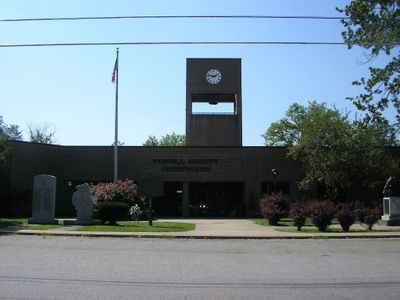
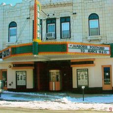
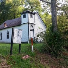
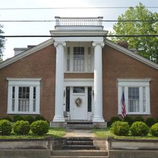
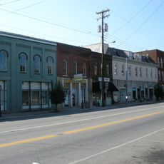
Powell County, Administrative county in Eastern Kentucky, United States
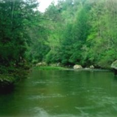
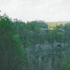
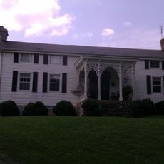
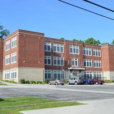
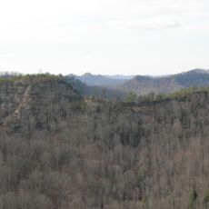
Powell County is an administrative area in Eastern Kentucky featuring natural stone arches, waterfalls, and river gorges carved into the landscape. The land contains forests, open fields, and roads that lead to scenic viewpoints and walking trails throughout the region.
The region was established in 1852 and included land from three neighboring counties. Since its founding as an administrative division, it has served as a local governing area.
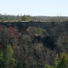
The Red River Gorge draws visitors and locals who seek outdoor adventure and connect with the natural landscape that defines the region. Stone arches and water features have become central to how people experience and identify with this land.
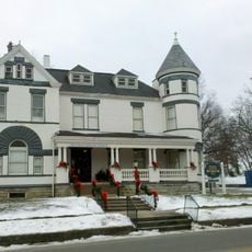
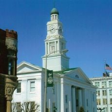
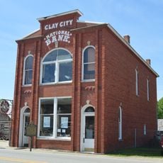
The county seat is located in the town of Stanton and serves as a reference point for orientation. It is best explored by car, as roads connect the various settlements and natural attractions throughout the area.
Natural Bridge State Resort Park contains a natural stone arch that formed over millions of years. The formation is a rare geological feature that visitors encounter while walking trails through the park.
The community of curious travelers
AroundUs brings together thousands of curated places, local tips, and hidden gems, enriched daily by 60,000 contributors worldwide.