Enable Location

We need your location to show you interesting places around you

Discover nearby places

Find interesting locations and hidden gems around you

Precise directions

Get accurate directions and distances to places

Your location is never shared with other users. It's only used when you tap the location button.

Stearns County

Log in to your account

Start exploring — it's free

Trusted by 61,462 travelers worldwide

Continue with Google
Continue with Apple
or

We will send you a code to connect

By continuing, you accept our Terms and Conditions and our Privacy Policy

Check your inbox

We've sent a pincode in your inbox. Please enter the code below.

Stearns County, Administrative division in Saint Cloud, Minnesota, US

Description

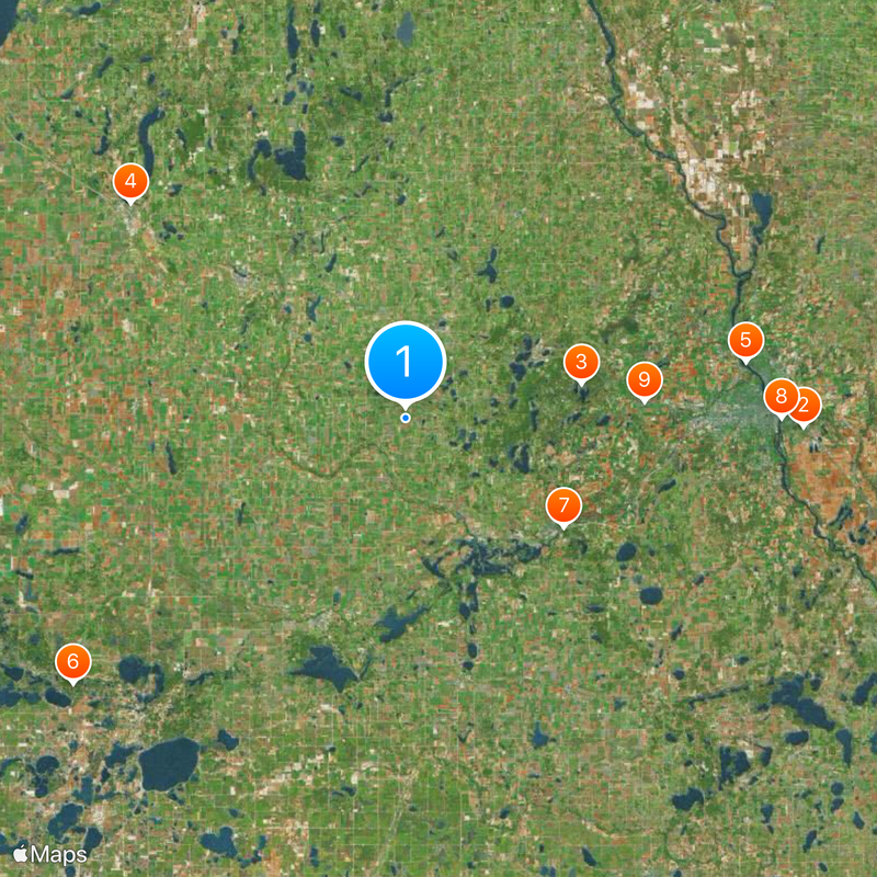
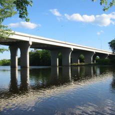
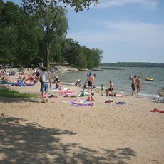
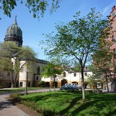
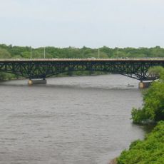
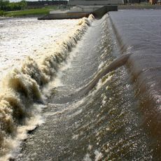
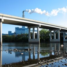
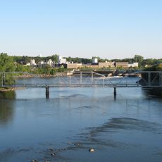
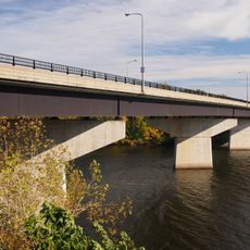
Stearns County is an administrative division in Minnesota that spans rolling terrain with numerous lakes and waterways throughout its landscape. The Mississippi River forms a natural boundary along its northeastern edge.

History

The county was established in 1855 with a name rooted in a clerical mistake rather than intentional honor. Officials meant to name it after Governor Isaac Stevens but ended up naming it for Charles Thomas Stearns instead.

Culture

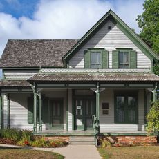
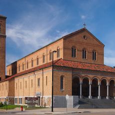
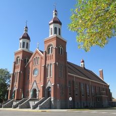
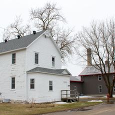
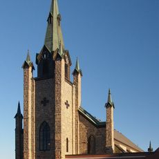
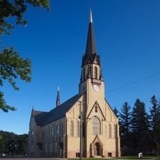
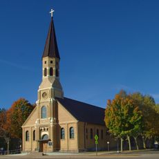
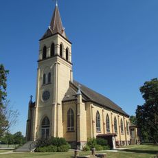
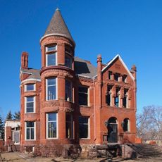
German Catholic settlers from the 1850s shaped how people here live and work, establishing farming traditions that remain central to the local way of life.

Practical

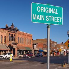
The county is spread across multiple towns connected by rural roads, making a car essential for exploring. Most activities and services are dispersed throughout the region rather than concentrated in one area.

Did you know?

About 47 square miles of the county's landscape consists of water bodies, including sections of the Mississippi River and tributaries. These waterways were vital routes that early settlers used to travel and establish their communities.

Location
Inception
February 20, 1855
Capital city
St. Cloud
Shares border with
Todd County, Kandiyohi County, Meeker County, Benton County, Morrison County, Sherburne County, Wright County, Pope County, Douglas County
GPS coordinates
45.55000,-94.61000
Latest update
December 20, 2025 13:52

AroundUs brings together thousands of curated places, local tips, and hidden gems, enriched daily by 60,000 contributors worldwide. Discover all places nearby (Minnesota).

Around this place
Minnesota Correctional Facility – St. Cloud
United States of America

Minnesota Correctional Facility – St. Cloud

38.5 km
Saint John's Abbey
United States of America

Saint John's Abbey

17.3 km
The Palmer House
United States of America

The Palmer House

33.8 km
Bridge of Hope
United States of America

Bridge of Hope

33.4 km
Sibley State Park
United States of America

Sibley State Park

41.2 km
United States of America

Assumption Chapel

18.5 km
Munsinger Gardens and Clemens Gardens
United States of America

Munsinger Gardens and Clemens Gardens

36.3 km
United States of America

Saint Brigid of Kildare Methodist-Benedictine Monastery

23.1 km
Sinclair Lewis Boyhood Home
United States of America

Sinclair Lewis Boyhood Home

34.1 km
Hill Museum & Manuscript Library
United States of America

Hill Museum & Manuscript Library

17.3 km
Saint Benedict's Monastery
United States of America

Saint Benedict's Monastery

22.8 km
Cathedral of Saint Mary
United States of America

Cathedral of Saint Mary

35 km
Clemens Stadium
United States of America

Clemens Stadium

17.4 km
DeSoto Bridge
United States of America

DeSoto Bridge

35.7 km
Church of St. Boniface
United States of America

Church of St. Boniface

20.6 km
St. Cloud Dam
United States of America

St. Cloud Dam

36.1 km
Swany White Flour Mills
United States of America

Swany White Flour Mills

13.9 km
Minnesota Home School for Girls Historic District
United States of America

Minnesota Home School for Girls Historic District

34.5 km
Church of St. Joseph-Catholic
United States of America

Church of St. Joseph-Catholic

22.8 km
Church of the Sacred Heart
United States of America

Church of the Sacred Heart

13.9 km
Church of St. Stephen-Catholic
United States of America

Church of St. Stephen-Catholic

31.1 km
Church of the Immaculate Conception-Catholic
United States of America

Church of the Immaculate Conception-Catholic

16.3 km
Sartell Bridge
United States of America

Sartell Bridge

32.7 km
Foley–Brower–Bohmer House
United States of America

Foley–Brower–Bohmer House

35.7 km
Original Main Street Historic District
United States of America

Original Main Street Historic District

33.8 km
Old Sartell Bridge
United States of America

Old Sartell Bridge

32.6 km
Hemker Park & Zoo
United States of America

Hemker Park & Zoo

14.3 km
Veterans Bridge
United States of America

Veterans Bridge

35.4 km
Show the full map
« Stearns County - Administrative division in Saint Cloud, Minnesota, US » is provided by Around Us (aroundus.com). Images and texts are derived from Wikimedia project under a Creative Commons license. You are allowed to copy, distribute, and modify copies of this page, under the conditions set by the license, as long as this note is clearly visible.

Discover hidden gems everywhere you go!

From secret cafés to breathtaking viewpoints, skip the crowded tourist spots and find places that match your style. Our app makes it easy with voice search, smart filtering, route optimization, and insider tips from travelers worldwide. Download now for the complete mobile experience.

Around Us App Screenshot

A unique approach to discovering new places

Le Figaro

All the places worth exploring

France Info

A tailor-made excursion in just a few clicks

20 Minutes

Around Us
Travel Guide & Maps
Download

Send to your phone

QR Code
1

Open the camera app on your mobile.

2

Point at the QR code with your camera. A notification will appear.

3

Tap the notification to open the link.