Enable Location

We need your location to show you interesting places around you

Discover nearby places

Find interesting locations and hidden gems around you

Precise directions

Get accurate directions and distances to places

Your location is never shared with other users. It's only used when you tap the location button.

Wadena County

Log in to your account

Start exploring — it's free

Trusted by 62,960 travelers worldwide

Continue with Google
Continue with Apple
or

We will send you a code to connect

By continuing, you accept our Terms and Conditions and our Privacy Policy

Check your inbox

We've sent a pincode in your inbox. Please enter the code below.

Discussion Reviews 1 Photos
11.3k Popularity

Wadena County, Administrative division in central Minnesota, United States.

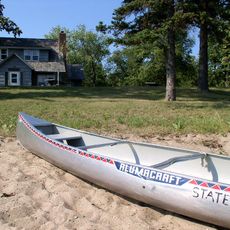
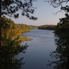
Wadena County is an administrative division in central Minnesota that encompasses woodlands, lakes, and farmland across its landscape. Five principal cities—Menahga, Staples, Verndale, Wadena, and Sebeka—serve as the main population centers throughout the county.

The county was established in 1858, and a major turning point came with the arrival of the Northern Pacific Railroad in 1872. This rail connection opened new possibilities for trade and settlement throughout the area.

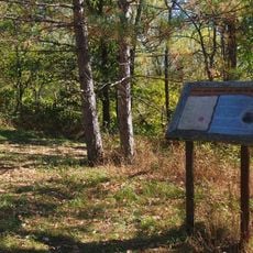
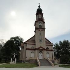
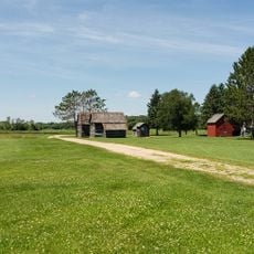
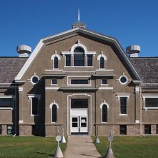
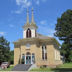
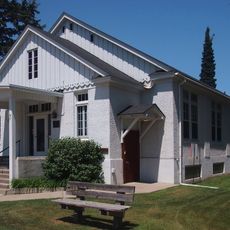
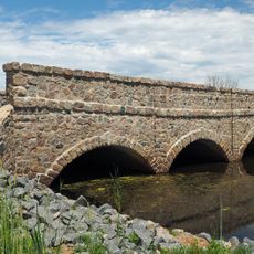
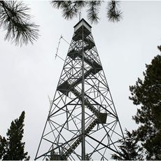
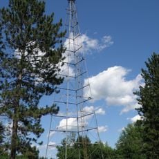
Local communities maintain their own traditions through seasonal events and gatherings that bring people together. Museums and historical societies tell stories of the indigenous peoples and European settlers who first developed the region.

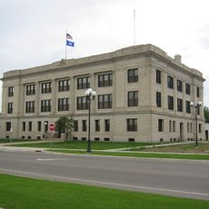
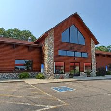
The county government offers online services for property information, tax payments, and job listings through its official website. Visitors can use these resources to find practical information and connect with local services.

The county has an unusual layout with 15 townships arranged in uniform sizes of roughly 10 square kilometers (4 square miles) each. Only Bullard and Thomastown townships deviate from this regular grid pattern.

The community of curious travelers

AroundUs brings together thousands of curated places, local tips, and hidden gems, enriched daily by 60,000 contributors worldwide.

Start exploring
Location
Inception
June 11, 1858
Capital city
Wadena
Shares border with
Hubbard County, Todd County, Cass County, Otter Tail County, Becker County
GPS coordinates
46.58000,-94.96000
Latest update
December 8, 2025 13:41
Around this place
Brainerd International Raceway
United States of America

Brainerd International Raceway

55.7 km
Glendalough State Park
United States of America

Glendalough State Park

60.8 km
Crow Wing State Park
United States of America

Crow Wing State Park

59 km
Grand View Lodge
United States of America

Grand View Lodge

50.3 km
Minnesota State Sanatorium for Consumptives
United States of America

Minnesota State Sanatorium for Consumptives

62.1 km
Brainerd Water Tower
United States of America

Brainerd Water Tower

63.3 km
Old Wadena Historic District
United States of America

Old Wadena Historic District

20.3 km
Crow Wing County Courthouse and Jail
United States of America

Crow Wing County Courthouse and Jail

63.1 km
Church of St. Joseph-Catholic
United States of America

Church of St. Joseph-Catholic

55.4 km
Badoura State Forest
United States of America

Badoura State Forest

34.5 km
Wilford H. Fawcett House
United States of America

Wilford H. Fawcett House

57.6 km
Finn Creek Museum
United States of America

Finn Creek Museum

31.8 km
Hewitt Public School
United States of America

Hewitt Public School

29.7 km
Nevis Tiger Muskie
United States of America

Nevis Tiger Muskie

43.7 km
Almond A. White House
United States of America

Almond A. White House

36.5 km
Minnesota Highway 371 Bridge
United States of America

Minnesota Highway 371 Bridge

60.9 km
Trinity Lutheran Church
United States of America

Trinity Lutheran Church

47.1 km
Hubbard County Courthouse
United States of America

Hubbard County Courthouse

38.7 km
Cole Memorial Building
United States of America

Cole Memorial Building

49.5 km
Washington Street Bridge
United States of America

Washington Street Bridge

62.5 km
Craigie Flour Mill Historical Marker
United States of America

Craigie Flour Mill Historical Marker

57.7 km
Bridge L7075
United States of America

Bridge L7075

60.2 km
Smoky Hills State Forest
United States of America

Smoky Hills State Forest

52 km
Pequot Fire Lookout Tower
United States of America

Pequot Fire Lookout Tower

50.8 km
Nimrod Fire Tower
United States of America

Nimrod Fire Tower

10.5 km
Leisure Suites
United States of America

Leisure Suites

56.6 km
Badoura Lookout Tower
United States of America

Badoura Lookout Tower

36.1 km
Smoky Hills Lookout Tower
United States of America

Smoky Hills Lookout Tower

50 km
Show the full map
Reviews
Share your experience

No review yet

Discussions
Start a discussion...

No discussion yet

« Wadena County - Administrative division in central Minnesota, United States » is provided by Around Us (aroundus.com). Images and texts are derived from Wikimedia project under a Creative Commons license. You are allowed to copy, distribute, and modify copies of this page, under the conditions set by the license, as long as this note is clearly visible.

Discover hidden gems everywhere you go!

From secret cafés to breathtaking viewpoints, skip the crowded tourist spots and find places that match your style. Our app makes it easy with voice search, smart filtering, route optimization, and insider tips from travelers worldwide. Download now for the complete mobile experience.

Around Us App Screenshot

A unique approach to discovering new places

Le Figaro

All the places worth exploring

France Info

A tailor-made excursion in just a few clicks

20 Minutes

Around Us
Travel Guide & Maps
Download

Send to your phone

QR Code
1

Open the camera app on your mobile.

2

Point at the QR code with your camera. A notification will appear.

3

Tap the notification to open the link.