Mercer County

Log in to your account

AroundUs is a community-driven map of interesting places, built by curious explorers like you. It grows with every review, story, and photo you share.
Connect to save your favorite spots, contribute locations, and create personalized routes.
Continue with Google
Continue with Apple
Continue with X
Continue with Facebook
Continue with email
By continuing, you accept our Terms and Conditions and our Privacy Policy
Create an account
Add to collection
Map
Suggest a change
Share

Mercer County, Administrative county in northwestern Illinois, United States

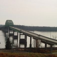
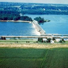
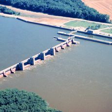
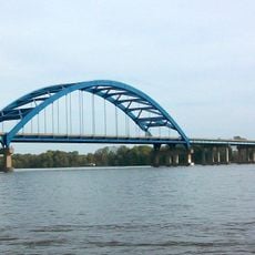
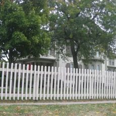
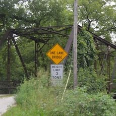
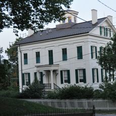
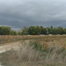
Mercer County is an administrative county in northwestern Illinois that encompasses agricultural land and multiple communities. The Mississippi River forms its western boundary and shapes the character of this region.

This county was established in 1825 and named after Hugh Mercer, a physician and general from the Revolutionary era. Early development was shaped by land grants given to military veterans.

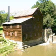
Local communities gather for regular farming exhibitions and seasonal markets that showcase agricultural products and rural life. These events remain important meeting places where traditions connected to farming are passed along.

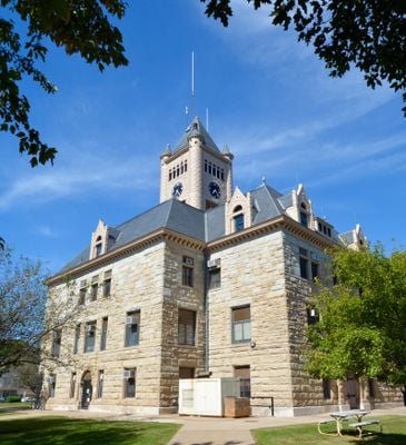
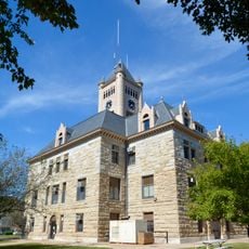
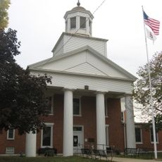
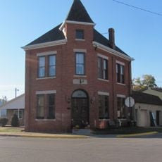
Administrative offices are located in Aledo and serve the county's residents with various services. The area is best explored by car since communities are spread across rural terrain.

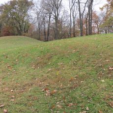
The area was part of the Military Tract, a program that compensated veterans with land grants after early conflicts. This system shaped how the region was settled and developed.

Location: Illinois

Inception: January 13, 1825

Capital city: Aledo

Shares border with: Rock Island County, Henry County, Knox County, Henderson County, Warren County, Des Moines County, Louisa County

Website: http://mercercountyil.org

GPS coordinates: 41.20000,-90.74000

Latest update: December 7, 2025 20:41

Photos
Around this place
Wildcat Den State Park
United States of America

Wildcat Den State Park

32.3 km
Toolesboro Mound Group
United States of America

Toolesboro Mound Group

26.6 km
Norbert F. Beckey Bridge
United States of America

Norbert F. Beckey Bridge

34.9 km
Lock and Dam No. 16
United States of America

Lock and Dam No. 16

33.9 km
Lock and Dam No. 17
United States of America

Lock and Dam No. 17

26.8 km
Sergeant John F. Baker, Jr. Bridge
United States of America

Sergeant John F. Baker, Jr. Bridge

32.4 km
Keithsburg Rail Bridge
United States of America

Keithsburg Rail Bridge

20.7 km
Mercer County Courthouse
United States of America

Mercer County Courthouse

724 m
Trinity Episcopal Church
United States of America

Trinity Episcopal Church

35.5 km
Pliny and Adelia Fay House
United States of America

Pliny and Adelia Fay House

35.5 km
Alexis Phelps House
United States of America

Alexis Phelps House

34.2 km
Pine Mills German Methodist Episcopal Church
United States of America

Pine Mills German Methodist Episcopal Church

33.4 km
Ivory Quinby House
United States of America

Ivory Quinby House

32.5 km
Hawkeye Creek Bridge
United States of America

Hawkeye Creek Bridge

31.9 km
Minnie Stewart House
United States of America

Minnie Stewart House

32.8 km
Levi Willits House
United States of America

Levi Willits House

22 km
Henderson County Courthouse
United States of America

Henderson County Courthouse

34.5 km
Pine Mill Bridge
United States of America

Pine Mill Bridge

31.6 km
Alexis Opera House
United States of America

Alexis Opera House

21.7 km
James S. Thompson House
United States of America

James S. Thompson House

21.6 km
J. C. B. Warde House
United States of America

J. C. B. Warde House

35.6 km
Florence-Council On The Iowa Site
United States of America

Florence-Council On The Iowa Site

33.1 km
Sherrard Banking Company
United States of America

Sherrard Banking Company

23.7 km
S. M. McKibben House
United States of America

S. M. McKibben House

35.4 km
Commercial House
United States of America

Commercial House

20.2 km
Gideon Ives House
United States of America

Gideon Ives House

21.6 km
Pine Creek Gristmill
United States of America

Pine Creek Gristmill

31.6 km
Pearl Bottom Museum
United States of America

Pearl Bottom Museum

35.5 km
Show the full map
Reviews

Visited this place? Tap the stars to rate it and share your experience / photos with the community! Try now! You can cancel it anytime.

« Mercer County - Administrative county in northwestern Illinois, United States » is provided by Around Us (aroundus.com). Images and texts are derived from Wikimedia project under a Creative Commons license. You are allowed to copy, distribute, and modify copies of this page, under the conditions set by the license, as long as this note is clearly visible.

Discover hidden gems everywhere you go!

From secret cafés to breathtaking viewpoints, skip the crowded tourist spots and find places that match your style. Our app makes it easy with voice search, smart filtering, route optimization, and insider tips from travelers worldwide. Download now for the complete mobile experience.

Around Us App Screenshot

A unique approach to discovering new places

Le Figaro

All the places worth exploring

France Info

A tailor-made excursion in just a few clicks

20 Minutes