Kanawha County

Log in to your account

AroundUs is a community-driven map of interesting places, built by curious explorers like you. It grows with every review, story, and photo you share.
Connect to save your favorite spots, contribute locations, and create personalized routes.
Continue with Google
Continue with Apple
Continue with X
Continue with Facebook
Continue with email
By continuing, you accept our Terms and Conditions and our Privacy Policy
Create an account
Add to collection
Map
Suggest a change
Share

Kanawha County, Administrative division in West Virginia, United States

Kanawha County is an administrative division in central West Virginia that contains Charleston, the state capital, and the surrounding Kanawha River valley. The area stretches from urban zones along the river to more rural areas further inland.

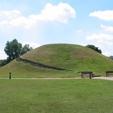
The county was founded in 1788 and quickly became a key center in central West Virginia. During the Civil War, it lay at the heart of fighting between Union and Confederate forces.

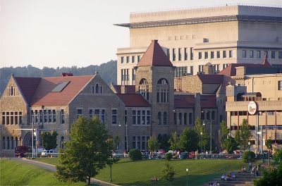
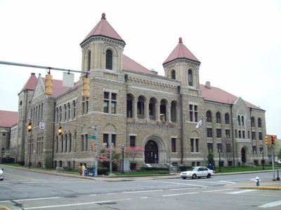
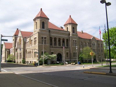
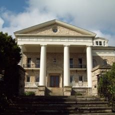
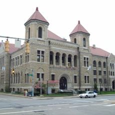
The State Capitol Building in Charleston displays early 20th century architectural style and serves as the visible center of state government. The buildings and spaces around the capitol shape the city's character and show how important this location remains to the region.

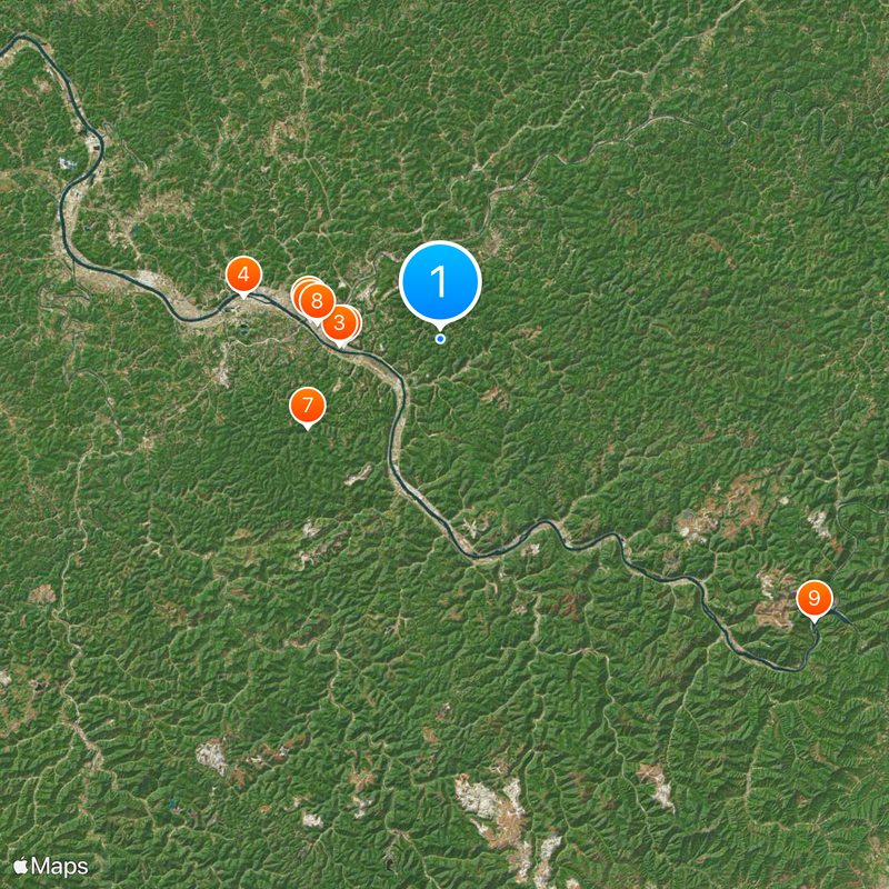
Charleston is centrally located within the county and easily accessible, with good road connections for visitors wanting to explore the area. The region is differently structured, with denser development in the city and more open land outside it.

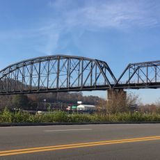
The Kanawha River was historically a major transportation route and continues to shape the county today with its banks and structures built along its course. This river remains the geographic and economic backbone around which the region's activity centers.

Location: West Virginia

Inception: November 14, 1788

Capital city: Charleston

Shares border with: Roane County, Boone County, Clay County, Nicholas County, Fayette County, Raleigh County, Lincoln County, Putnam County, Jackson County

Website: http://kanawha.us

GPS coordinates: 38.34000,-81.53000

Latest update: December 14, 2025 18:11

Photos
Around this place
West Virginia State Capitol
United States of America

West Virginia State Capitol

7.2 km
West Virginia Governor's Mansion
United States of America

West Virginia Governor's Mansion

7.4 km
Criel Mound
United States of America

Criel Mound

14.9 km
United States of America

Charleston Civic Center

9.9 km
Charleston Municipal Auditorium
United States of America

Charleston Municipal Auditorium

9.7 km
Kanawha State Forest
United States of America

Kanawha State Forest

11.7 km
Downtown Charleston Historic District
United States of America

Downtown Charleston Historic District

9.2 km
United States of America

Kanawha Falls

34.7 km
Sunrise
United States of America

Sunrise

9.7 km
Holly Grove Mansion
United States of America

Holly Grove Mansion

7.5 km
East End Historic District
United States of America

East End Historic District

7.4 km
West Virginia Capitol Complex
United States of America

West Virginia Capitol Complex

7.2 km
Daniel Boone Hotel
United States of America

Daniel Boone Hotel

9 km
Schoenbaum Stadium
United States of America

Schoenbaum Stadium

7.6 km
Craik-Patton House
United States of America

Craik-Patton House

5 km
Kanawha County Courthouse
United States of America

Kanawha County Courthouse

9.6 km
Spring Hill Cemetery Historic District
United States of America

Spring Hill Cemetery Historic District

7.6 km
Glen Ferris Inn
United States of America

Glen Ferris Inn

34.7 km
Ebenezer Chapel
United States of America

Ebenezer Chapel

11.4 km
Charleston City Hall
United States of America

Charleston City Hall

9.6 km
Edgewood Historic District
United States of America

Edgewood Historic District

10.5 km
Canty House
United States of America

Canty House

20.9 km
Chilton House
United States of America

Chilton House

27.6 km
Cedar Grove
United States of America

Cedar Grove

15.9 km
Plaza Theatre
United States of America

Plaza Theatre

9.3 km
United States of America

Admiral T. J. Lopez Bridge

16.1 km
W.E. Chilton II House
United States of America

W.E. Chilton II House

10 km
Charleston Railroad Bridge‎
United States of America

Charleston Railroad Bridge‎

11.8 km
Show the full map
Reviews

Visited this place? Tap the stars to rate it and share your experience / photos with the community! Try now! You can cancel it anytime.

« Kanawha County - Administrative division in West Virginia, United States » is provided by Around Us (aroundus.com). Images and texts are derived from Wikimedia project under a Creative Commons license. You are allowed to copy, distribute, and modify copies of this page, under the conditions set by the license, as long as this note is clearly visible.

Discover hidden gems everywhere you go!

From secret cafés to breathtaking viewpoints, skip the crowded tourist spots and find places that match your style. Our app makes it easy with voice search, smart filtering, route optimization, and insider tips from travelers worldwide. Download now for the complete mobile experience.

Around Us App Screenshot

A unique approach to discovering new places

Le Figaro

All the places worth exploring

France Info

A tailor-made excursion in just a few clicks

20 Minutes