Raleigh County

Log in to your account

AroundUs is a community-driven map of interesting places, built by curious explorers like you. It grows with every review, story, and photo you share.
Connect to save your favorite spots, contribute locations, and create personalized routes.
Continue with Google
Continue with Apple
Continue with X
Continue with Facebook
Continue with email
By continuing, you accept our Terms and Conditions and our Privacy Policy
Create an account
Add to collection
Map
Suggest a change
Share

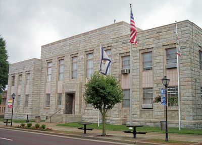
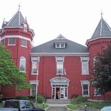
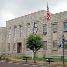
Raleigh County, County administration center in Beckley, West Virginia, US.

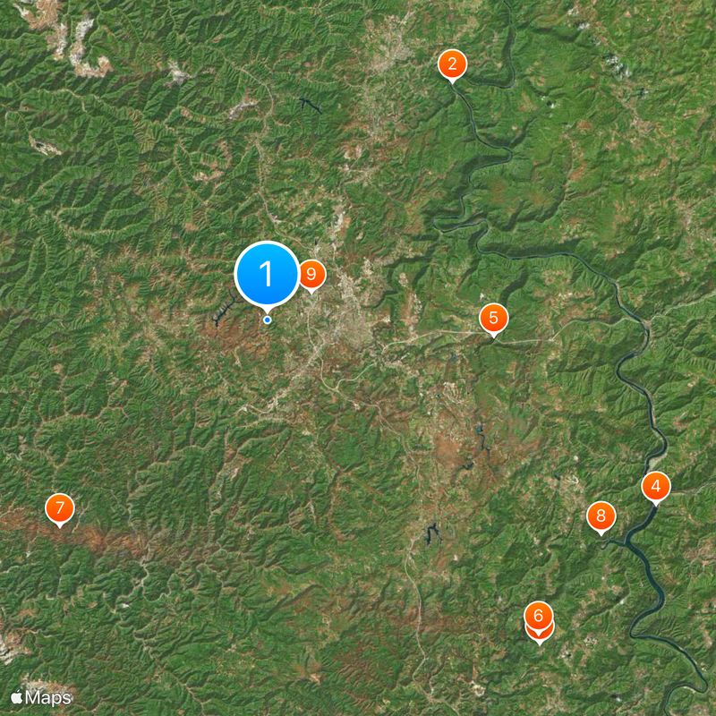
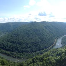
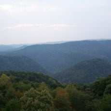
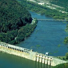
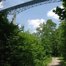
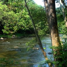
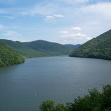
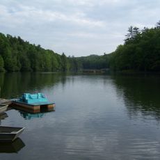
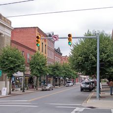
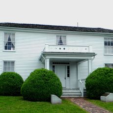
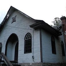
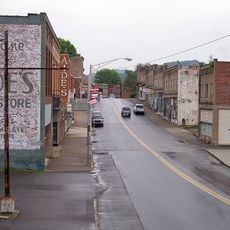
Raleigh County is an administrative division in southern West Virginia with wooded hills and the New River forming its eastern boundary. The county encompasses several towns and communities spread across varied terrain, with Beckley serving as the largest municipality.

The area was created as a county in 1850, carved from what was then Fayetteville County and named after English explorer Sir Walter Raleigh. When West Virginia split from Virginia in 1863, the newly formed state included this region as one of its original counties.

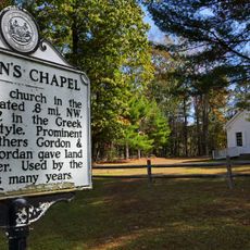
The region was originally inhabited by Native American peoples before European settlers arrived and transformed the landscape and communities. Their presence remains woven into local place names and the stories that people in the area still share today.

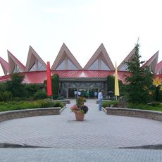
Administrative services are centered in Beckley, where visitors can find local offices and information in the downtown area. The region is best explored by car since communities are spread across the landscape, and walking is not practical between distant towns.

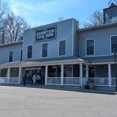
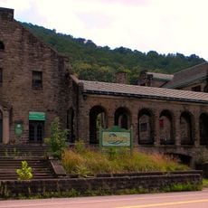
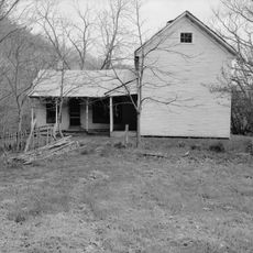
The region has deep roots in coal mining and industrial work that shaped the landscape and people's lives for generations. Remnants of old mining operations and abandoned mines are still visible throughout the area, marking the economic past that defined the community.

Location: West Virginia

Inception: January 23, 1850

Capital city: Beckley

Elevation above the sea: 722 m

Shares border with: Kanawha County, Boone County, Wyoming County, Mercer County, Summers County, Fayette County

Website: http://raleighcounty.com

GPS coordinates: 37.78000,-81.26000

Latest update: December 20, 2025 13:31

Photos
Around this place
New River Gorge National Park and Preserve
United States of America

New River Gorge National Park and Preserve

25.5 km
Pipestem Resort State Park
United States of America

Pipestem Resort State Park

35.8 km
Bluestone Lake
United States of America

Bluestone Lake

36.4 km
Phil G. McDonald Bridge
United States of America

Phil G. McDonald Bridge

19.3 km
Bluestone National Scenic River
United States of America

Bluestone National Scenic River

35.1 km
Twin Falls Resort State Park
United States of America

Twin Falls Resort State Park

24.7 km
Bluestone State Park
United States of America

Bluestone State Park

33.6 km
Tamarack Marketplace
United States of America

Tamarack Marketplace

4.4 km
Ace Adventure Resort
United States of America

Ace Adventure Resort

25.8 km
Little Beaver State Park
United States of America

Little Beaver State Park

16 km
Phillips-Sprague Mine
United States of America

Phillips-Sprague Mine

5.6 km
St. Colman's Roman Catholic Church and Cemetery
United States of America

St. Colman's Roman Catholic Church and Cemetery

29.9 km
Itmann Company Store and Office
United States of America

Itmann Company Store and Office

26.8 km
Bank of Glen Jean
United States of America

Bank of Glen Jean

18.9 km
United States of America

The Summit Bechtel Family National Scout Reserve

19.6 km
Summers County Courthouse
United States of America

Summers County Courthouse

34.6 km
United States of America

Plum Orchard Lake

19.2 km
Hinton Historic District
United States of America

Hinton Historic District

35 km
Wildwood
United States of America

Wildwood

6.5 km
Wyco Church
United States of America

Wyco Church

21.4 km
Beckley Feed and Hardware Company
United States of America

Beckley Feed and Hardware Company

5.8 km
Beckley Courthouse Square Historic District
United States of America

Beckley Courthouse Square Historic District

6.4 km
Jordan's Chapel
United States of America

Jordan's Chapel

37.1 km
United States of America

Beckley Mill Site

9.6 km
United States of America

Cooper's Mill

31.5 km
Mount Hope Historic District
United States of America

Mount Hope Historic District

14.9 km
Prince Brothers General Store
United States of America

Prince Brothers General Store

19.3 km
Trump-Lilly Farmstead
United States of America

Trump-Lilly Farmstead

32.9 km
Show the full map
Reviews

Visited this place? Tap the stars to rate it and share your experience / photos with the community! Try now! You can cancel it anytime.

« Raleigh County - County administration center in Beckley, West Virginia, US » is provided by Around Us (aroundus.com). Images and texts are derived from Wikimedia project under a Creative Commons license. You are allowed to copy, distribute, and modify copies of this page, under the conditions set by the license, as long as this note is clearly visible.

Discover hidden gems everywhere you go!

From secret cafés to breathtaking viewpoints, skip the crowded tourist spots and find places that match your style. Our app makes it easy with voice search, smart filtering, route optimization, and insider tips from travelers worldwide. Download now for the complete mobile experience.

Around Us App Screenshot

A unique approach to discovering new places

Le Figaro

All the places worth exploring

France Info

A tailor-made excursion in just a few clicks

20 Minutes