Bluestone National Scenic River, National Wild and Scenic River in Mercer and Summers Counties, United States.
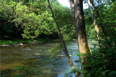
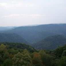
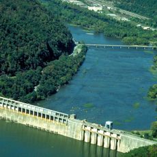
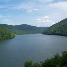
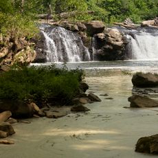
Bluestone National Scenic River is a protected river in southern West Virginia that flows through a deep gorge lined with steep rock walls. It runs below Bluestone Lake and eventually joins the New River near Hinton.
Native peoples traveled and hunted along this river for thousands of years before European settlers arrived in the region. In 1988, the lower stretch of the river received federal protection as part of the National Wild and Scenic Rivers System.
The river's name comes from the blue-tinted limestone rocks visible through the water along the riverbed. Visitors walking the banks can spot these same stones in the cliff walls rising above the water.
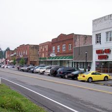
The river is most easily reached on foot from Pipestem Resort State Park or from the town of Hinton, as road access is limited along most of the corridor. Water levels can change quickly depending on releases from Bluestone Dam, so it is worth checking conditions before heading out.
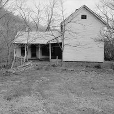
Despite federal protection, most of the land along the river corridor is privately owned, and public access is limited to a narrow strip along the banks. This makes it one of the least visited protected rivers in the eastern part of the country.
The community of curious travelers
AroundUs brings together thousands of curated places, local tips, and hidden gems, enriched daily by 60,000 contributors worldwide.