Summers County

Log in to your account

AroundUs is a community-driven map of interesting places, built by curious explorers like you. It grows with every review, story, and photo you share.
Connect to save your favorite spots, contribute locations, and create personalized routes.
Continue with Google
Continue with Apple
Continue with X
Continue with Facebook
Continue with email
By continuing, you accept our Terms and Conditions and our Privacy Policy
Create an account
Add to collection
Map
Suggest a change
Share

Summers County, Administrative division in southeastern West Virginia, United States

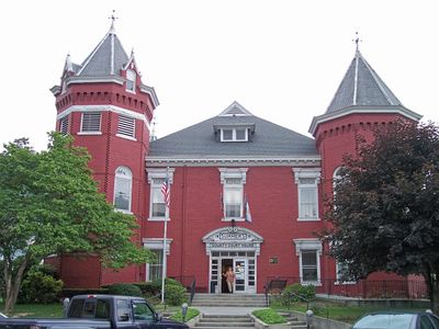
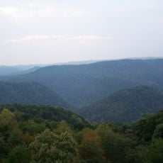
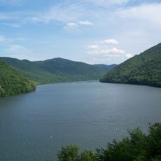
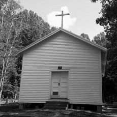
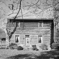
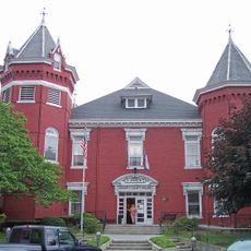
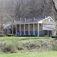
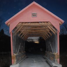
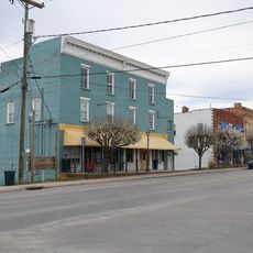
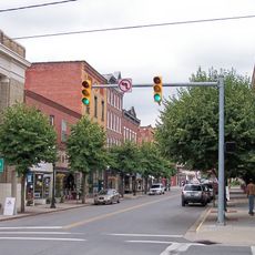
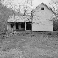
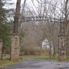
Summers County is an administrative division in southeastern West Virginia that stretches across river valleys and rolling terrain. The region contains several small communities with Hinton serving as the main hub where multiple waterways converge.

The county was established in 1871 when the West Virginia Legislature combined territories from four neighboring counties into a single administrative unit. This formation followed the Civil War and represented part of the state's post-war reorganization efforts.

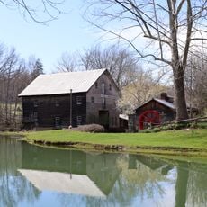
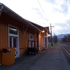
Coal mining and railroad heritage shaped community identity here, and these traditions still influence how people connect with their surroundings. Local families pass down skills and stories tied to the region's industrial past.

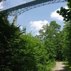
Visitors reach the area via Interstate 64, with Amtrak rail service available at Hinton several times weekly for those arriving by train. Exploring the river valleys and natural areas works best with a car or by foot along local trails.

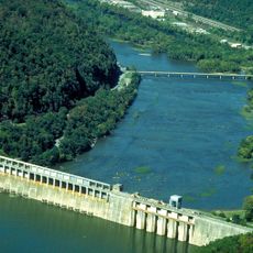
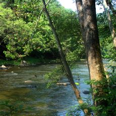
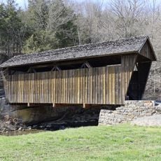
The area contains sections of the Bluestone National Scenic River, a wild waterway that winds through narrow gorges and canyons. This river remains a lesser-explored paddling destination compared to more famous water routes in the region.

GPS coordinates: 37.62936,-80.84583

Latest update: December 7, 2025 20:42

Photos
Around this place
Pipestem Resort State Park
United States of America

Pipestem Resort State Park

17.1 km
Bluestone Lake
United States of America

Bluestone Lake

3.7 km
Phil G. McDonald Bridge
United States of America

Phil G. McDonald Bridge

23.2 km
Bluestone National Scenic River
United States of America

Bluestone National Scenic River

16.7 km
Bluestone State Park
United States of America

Bluestone State Park

8.3 km
Little Beaver State Park
United States of America

Little Beaver State Park

25 km
Camp Creek State Park
United States of America

Camp Creek State Park

28.8 km
St. Colman's Roman Catholic Church and Cemetery
United States of America

St. Colman's Roman Catholic Church and Cemetery

16.6 km
Col. James Graham House
United States of America

Col. James Graham House

10.4 km
Blue Sulphur Springs Pavilion
United States of America

Blue Sulphur Springs Pavilion

28.5 km
Indian Creek Covered Bridge
United States of America

Indian Creek Covered Bridge

25.5 km
Alexander McVeigh Miller House
United States of America

Alexander McVeigh Miller House

21.8 km
Summers County Courthouse
United States of America

Summers County Courthouse

6.2 km
Salt Sulphur Springs Historic District
United States of America

Salt Sulphur Springs Historic District

25.3 km
Laurel Creek Covered Bridge
United States of America

Laurel Creek Covered Bridge

20.8 km
Cook's Mill
United States of America

Cook's Mill

16.9 km
Union Historic District
United States of America

Union Historic District

27 km
Hinton Historic District
United States of America

Hinton Historic District

6.1 km
Alderson Bridge
United States of America

Alderson Bridge

20.8 km
Alderson Historic District
United States of America

Alderson Historic District

20.8 km
Pence Springs Hotel Historic District
United States of America

Pence Springs Hotel Historic District

12.7 km
Jordan's Chapel
United States of America

Jordan's Chapel

13.7 km
Wallace Estill, Sr., House
United States of America

Wallace Estill, Sr., House

22.3 km
McNeer House
United States of America

McNeer House

25.3 km
Brig. Gen. John Echols House
United States of America

Brig. Gen. John Echols House

27.1 km
Trump-Lilly Farmstead
United States of America

Trump-Lilly Farmstead

9.1 km
Sunset Hill
United States of America

Sunset Hill

20.3 km
Argabrite House
United States of America

Argabrite House

21.6 km
Show the full map
Reviews

Visited this place? Tap the stars to rate it and share your experience / photos with the community! Try now! You can cancel it anytime.

« Summers County - Administrative division in southeastern West Virginia, United States » is provided by Around Us (aroundus.com). Images and texts are derived from Wikimedia project under a Creative Commons license. You are allowed to copy, distribute, and modify copies of this page, under the conditions set by the license, as long as this note is clearly visible.

Discover hidden gems everywhere you go!

From secret cafés to breathtaking viewpoints, skip the crowded tourist spots and find places that match your style. Our app makes it easy with voice search, smart filtering, route optimization, and insider tips from travelers worldwide. Download now for the complete mobile experience.

Around Us App Screenshot

A unique approach to discovering new places

Le Figaro

All the places worth exploring

France Info

A tailor-made excursion in just a few clicks

20 Minutes