Forest County, County and administrative division in Wisconsin, United States
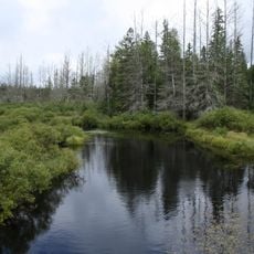
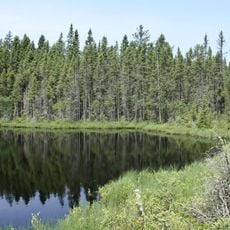
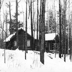
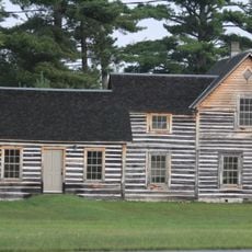
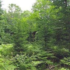
Forest County is an administrative division in northern Wisconsin characterized by extensive forests, numerous lakes, and the city of Crandon as its county seat. The landscape is dominated by coniferous woodlands and water bodies that define the region's natural character.
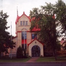
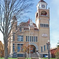
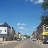
The territory was established by the Wisconsin State Legislature in 1885 with Crandon designated as its administrative center. This formal creation marked the organized development of northern Wisconsin as a defined region.
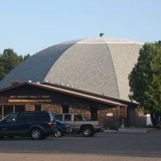
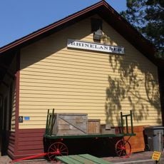
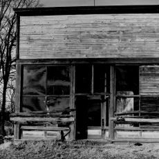
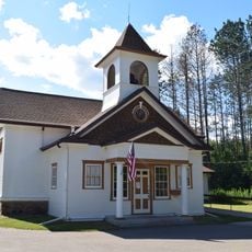
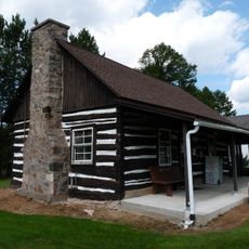
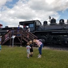
The county preserves its connection to logging traditions through local institutions and community gatherings that keep regional stories alive. Visitors can encounter the customs and values that shaped the identity of people living here.
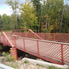
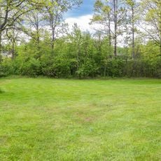
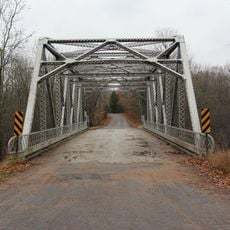
The area offers public lands for camping, hiking, and seasonal outdoor activities throughout the region. Visitors should prepare for varying weather conditions and allow ample time to explore the extensive forest areas.
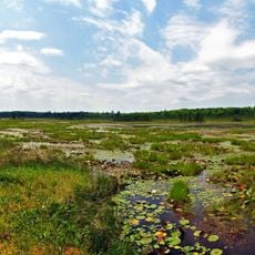
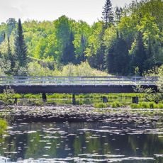
The region is home to numerous lakes that support fishing and water recreation throughout the year. This abundance of water bodies makes it a natural destination for people interested in water-based activities.
The community of curious travelers
AroundUs brings together thousands of curated places, local tips, and hidden gems, enriched daily by 60,000 contributors worldwide.