Iron County MRA, Group of historic structures in Iron County, Michigan, United States
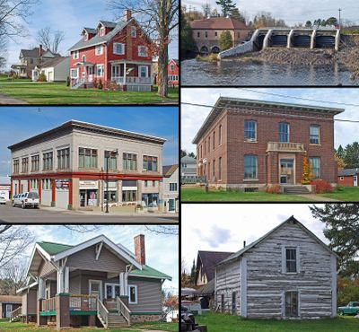
Iron County MRA comprises 72 separate historic structures and districts spread across Iron County, showing buildings and design details from the 1880s onward. The collection includes homes, shops, and mining-related buildings scattered throughout the region near Crystal Falls and Iron River.
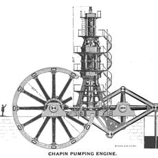
Iron ore discoveries in the 1880s sparked rapid growth across the region, with the opening of the Crystal Falls Mine and Iron River Mine. These mining operations attracted workers and entrepreneurs who built structures quickly and established communities around the mines.
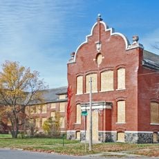
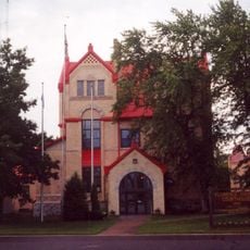
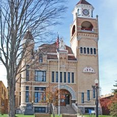
The Finnish and Swedish Mercantile Association Building from 1908 shows how Scandinavian settlers shaped the look of Crystal Falls through their building styles. You can see their influence in the way structures are designed and arranged throughout the town.
The buildings are spread across Iron County, so having a car makes it easier to visit multiple sites in one trip. It helps to get a map or guide beforehand to locate the different properties and plan your route.
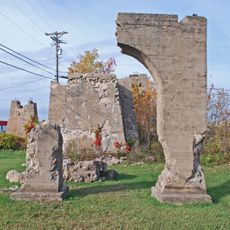
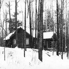
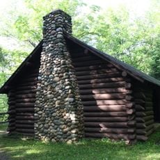
The James Mine Historic District preserves an intact example of a mining company settlement with worker housing and company buildings still visible. This layout shows how mining operations controlled the structure and daily life of workers in the early industrial era.
The community of curious travelers
AroundUs brings together thousands of curated places, local tips, and hidden gems, enriched daily by 60,000 contributors worldwide.