Enable Location

We need your location to show you interesting places around you

Discover nearby places

Find interesting locations and hidden gems around you

Precise directions

Get accurate directions and distances to places

Your location is never shared with other users. It's only used when you tap the location button.

Iron County

Log in to your account

Start exploring — it's free

Trusted by 61,996 travelers worldwide

Continue with Google
Continue with Apple
or

We will send you a code to connect

By continuing, you accept our Terms and Conditions and our Privacy Policy

Check your inbox

We've sent a pincode in your inbox. Please enter the code below.

Iron County, County government area in Upper Peninsula, Michigan, United States

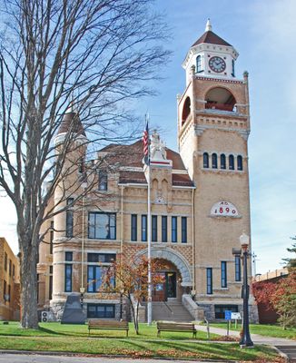
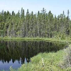
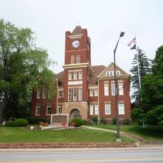
Iron County is an administrative area in the southwestern Upper Peninsula of Michigan, bordering Wisconsin to the southeast. The county covers approximately 313,700 hectares (775,000 acres) of land, with Crystal Falls serving as its administrative center.

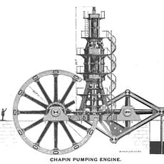
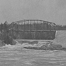
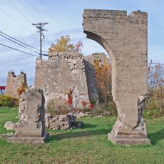
The county was established on April 3, 1885, following growth in iron ore mining and logging operations in the region. These resource industries shaped early settlement patterns and the area's economic development.

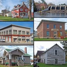
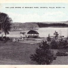
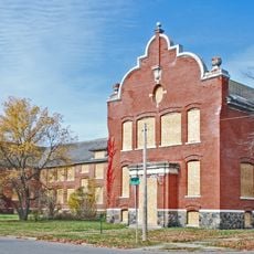
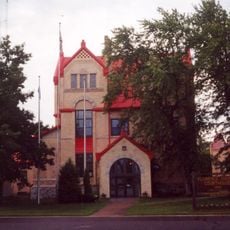
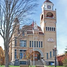
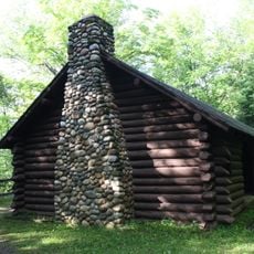
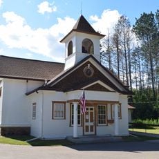
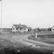
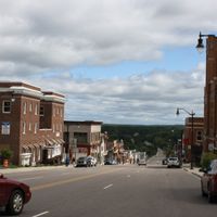
Crystal Falls, the county seat, maintains heritage trails that document the industrial past through preserved mining sites and historical buildings. Visitors can see how the communities once centered their lives around extraction and production work.

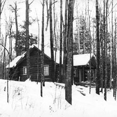
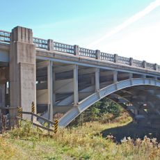
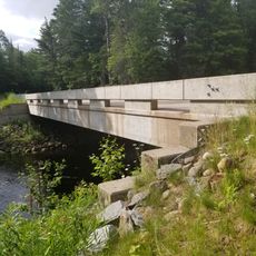
The area is accessible by highway, and Crystal Falls provides basic services and lodging for visitors. The Upper Peninsula's harsh climate requires proper preparation, especially during winter months.

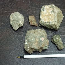
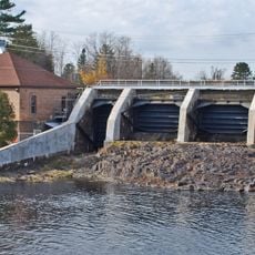
The name refers to extensive iron ore deposits that fed early railroad operations, with substantial amounts shipped in the first year of rail service. This mineral wealth was central to the region's infrastructure development.

The community of curious travelers

AroundUs brings together thousands of curated places, local tips, and hidden gems, enriched daily by 60,000 contributors worldwide.

Start exploring
Location
Inception
April 3, 1885
Capital city
Crystal Falls
Shares border with
Houghton County, Baraga County, Marquette County, Ontonagon County, Dickinson County, Gogebic County, Florence County, Forest County, Vilas County
GPS coordinates
46.21000,-88.51000
Latest update
December 7, 2025 19:23
Around this place
Bond Falls
United States of America

Bond Falls

52.8 km
Iron County MRA
United States of America

Iron County MRA

12.3 km
Agate Falls Scenic Site
United States of America

Agate Falls Scenic Site

53.9 km
Chapin Mine Steam Pump Engine
United States of America

Chapin Mine Steam Pump Engine

54.7 km
Bewabic State Park
United States of America

Bewabic State Park

14.6 km
Lake Ellen Kimberlite
United States of America

Lake Ellen Kimberlite

26 km
Headwaters Wilderness
United States of America

Headwaters Wilderness

55.7 km
Blackjack Springs Wilderness
United States of America

Blackjack Springs Wilderness

51.7 km
United States of America

Sturgeon River Gorge Wilderness

46.8 km
Iron Mountain Central Historic District
United States of America

Iron Mountain Central Historic District

55.4 km
Crystal Falls Dam and Power Plant
United States of America

Crystal Falls Dam and Power Plant

17.8 km
Upper Twin Falls Bridge
United States of America

Upper Twin Falls Bridge

49.8 km
Central School
United States of America

Central School

16.4 km
Dickinson County Courthouse and Jail
United States of America

Dickinson County Courthouse and Jail

55.8 km
Ardis Furnace
United States of America

Ardis Furnace

54.5 km
Grandma Lake Wetlands State Natural Area
United States of America

Grandma Lake Wetlands State Natural Area

44.5 km
Franklin Lake Campground
United States of America

Franklin Lake Campground

48.5 km
Canyon Falls Bridge
United States of America

Canyon Falls Bridge

46.3 km
Florence County Courthouse and Jail
United States of America

Florence County Courthouse and Jail

38 km
Iron County Courthouse
United States of America

Iron County Courthouse

18.5 km
Forest Route 157–Tamarack River Bridge
United States of America

Forest Route 157–Tamarack River Bridge

36.3 km
Anvil Lake Campground Shelter
United States of America

Anvil Lake Campground Shelter

52.3 km
Bose Lake Hemlock Hardwoods
United States of America

Bose Lake Hemlock Hardwoods

47.2 km
Fern School
United States of America

Fern School

42.7 km
Chicagon Mine Road–Chicagon Creek Bridge
United States of America

Chicagon Mine Road–Chicagon Creek Bridge

12.8 km
World War II Glider and Military Museum
United States of America

World War II Glider and Military Museum

54.7 km
M 189 / W 139 Highway Bridge over Brule River
United States of America

M 189 / W 139 Highway Bridge over Brule River

27.1 km
James W. Toumey Nursery
United States of America

James W. Toumey Nursery

51.3 km
Show the full map
Administrative divisions
« Iron County - County government area in Upper Peninsula, Michigan, United States » is provided by Around Us (aroundus.com). Images and texts are derived from Wikimedia project under a Creative Commons license. You are allowed to copy, distribute, and modify copies of this page, under the conditions set by the license, as long as this note is clearly visible.

Discover hidden gems everywhere you go!

From secret cafés to breathtaking viewpoints, skip the crowded tourist spots and find places that match your style. Our app makes it easy with voice search, smart filtering, route optimization, and insider tips from travelers worldwide. Download now for the complete mobile experience.

Around Us App Screenshot

A unique approach to discovering new places

Le Figaro

All the places worth exploring

France Info

A tailor-made excursion in just a few clicks

20 Minutes

Around Us
Travel Guide & Maps
Download

Send to your phone

QR Code
1

Open the camera app on your mobile.

2

Point at the QR code with your camera. A notification will appear.

3

Tap the notification to open the link.