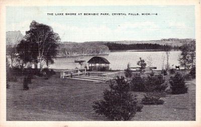
Bewabic State Park, State park on Fortune Lake in Iron County, United States.
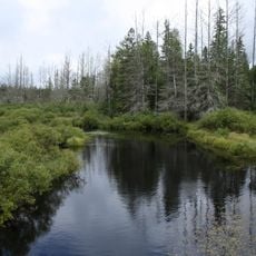
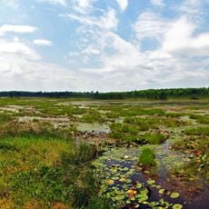
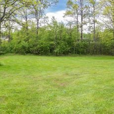
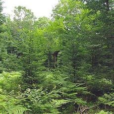
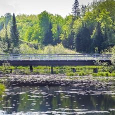
Bewabic State Park is a 315 acre recreation area along Fortune Lake's shoreline with a sandy beach, hiking paths, and dense forest coverage. The park provides spaces for camping and exploring nature throughout its wooded grounds.
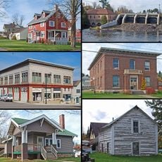
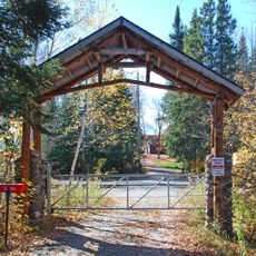
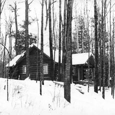
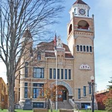
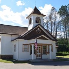
The property was founded in 1923 and received its main buildings during the 1930s when the Civilian Conservation Corps completed work there. This effort produced structures like a log bathhouse and stone restroom facilities that still stand.
The park preserves buildings from the 1930s that visitors can still see today, showing how people once spent leisure time by the lake. These older structures shape how the place looks and remind guests of a different era of recreation.
The park offers more than 130 camping spots with electrical hookups and modern restroom facilities organized into separate loops. Visitors should explore the different zones to find the area that works best for their needs.
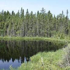
The lake contains a constructed island built in 1933 that holds three original stone fireplaces made for gatherings. This island with its hearths remains a surprising discovery for guests exploring the property's past.
Location: Iron County
Inception: 1923
Website: http://michigandnr.com/parksandtrails/Details.aspx?id=411&type=SPRK
GPS coordinates: 46.09030,-88.43220
Latest update: December 12, 2025 14:23
Iron County MRA
5.3 km
Chapin Mine Steam Pump Engine
40.7 km
Lake Ellen Kimberlite
21.8 km
Headwaters Wilderness
50.6 km
Trunk Line Bridge No. 1
58.9 km
Blackjack Springs Wilderness
52.3 km
Iron Mountain Central Historic District
41.3 km
Sam Cohodas Lodge
58.6 km
Upper Twin Falls Bridge
36.2 km
Central School
16.1 km
Dickinson County Courthouse and Jail
41.7 km
Ardis Furnace
40.7 km
Grandma Lake Wetlands State Natural Area
33.5 km
Franklin Lake Campground
46.8 km
Canyon Falls Bridge
59.6 km
Florence County Courthouse and Jail
23.6 km
Iron County Courthouse
7.5 km
Armstrong Creek Bridge
50 km
Forest Route 157–Tamarack River Bridge
45.6 km
Iron Mountain Iron Mine
55.8 km
Menominee River Park Archeological District
43.2 km
Bose Lake Hemlock Hardwoods
45.3 km
Fern School
28.5 km
Chicagon Mine Road–Chicagon Creek Bridge
5.9 km
Reine utsiktspunkt
60.4 km
World War II Glider and Military Museum
40.7 km
M 189 / W 139 Highway Bridge over Brule River
20.5 km
James W. Toumey Nursery
60.4 kmVisited this place? Tap the stars to rate it and share your experience / photos with the community! Try now! You can cancel it anytime.
Discover hidden gems everywhere you go!
From secret cafés to breathtaking viewpoints, skip the crowded tourist spots and find places that match your style. Our app makes it easy with voice search, smart filtering, route optimization, and insider tips from travelers worldwide. Download now for the complete mobile experience.
A unique approach to discovering new places❞
— Le Figaro
All the places worth exploring❞
— France Info
A tailor-made excursion in just a few clicks❞
— 20 Minutes