Chest opened
+${chestReward.xp} XP
Explorer
NOUVEAU ×${chestReward.collectible.quantity}
tapez pour fermer
Chest locked

Open chests in the app

Around Us is built for your phone — chests unlock when you walk, explore and capture nearby places.

Enable Location

We need your location to show you interesting places around you

Discover nearby places

Find interesting locations and hidden gems around you

Precise directions

Get accurate directions and distances to places

Your location is never shared with other users. It's only used when you tap the location button.

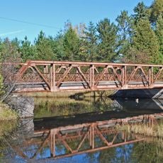
Trunk Line Bridge No. 1

Log in to your account

Start exploring — it's free

Trusted by 73,351 travelers worldwide

Continue with Google
Continue with Apple
or

We will send you a code to connect

By continuing, you accept our Terms and Conditions and our Privacy Policy

Check your inbox

We've sent a pincode in your inbox. Please enter the code below.

Discussion Reviews 1 Photos
2.3k Popularity

Trunk Line Bridge No. 1, Historic road bridge in Michigamme Township, Michigan, US

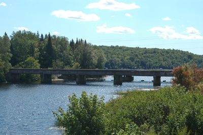
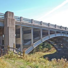
Trunk Line Bridge No. 1 spans 240 feet (73 meters) across the Peshekee River with six concrete supports carrying a deck near Lake Michigamme. The structure features full-height abutments over solid concrete foundations with specialized bullnosed edges.

The structure was built in 1914 as the first bridge designed by Michigan's State Highway Department. This marked the beginning of standardized infrastructure development in the region.

The bridge displays early engineering techniques with its concrete through-girder design and rectangular recessed panels in the girder walls. Visitors can observe these construction details today when walking across or beneath the structure.

Vehicles can no longer access the bridge from US 41/M-28, but pedestrians can reach it from the eastern side via Van Riper State Park. The path from park facilities is relatively level and well-marked for visitors.

The structure required 600 cubic yards of concrete, a substantial amount for a project of this scale in the early 1910s. This material-intensive construction shows how seriously engineers treated the durability of the state's first standardized bridge project.

The community of curious travelers

AroundUs brings together thousands of curated places, local tips, and hidden gems, enriched daily by 60,000 contributors worldwide.

Start exploring
Location
Inception
1914
GPS coordinates
46.52833,-88.00361
Latest update
December 13, 2025 12:24
Around this place
Mount Arvon
United States of America

Mount Arvon

27.8 km
Granot Loma
United States of America

Granot Loma

39.7 km
National Ski Hall of Fame
United States of America

National Ski Hall of Fame

26 km
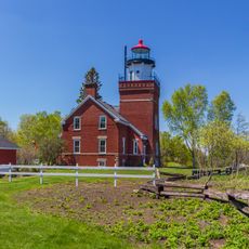
Big Bay Point Light
United States of America

Big Bay Point Light

42.5 km
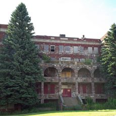
Holy Family Orphanage
United States of America

Holy Family Orphanage

46 km
Cliffs Shaft Mine Museum
United States of America

Cliffs Shaft Mine Museum

25.5 km
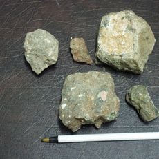
Lake Ellen Kimberlite
United States of America

Lake Ellen Kimberlite

41.6 km
Marquette County Courthouse
United States of America

Marquette County Courthouse

46.5 km
Palestra, The Marquette
United States of America

Palestra, The Marquette

46.7 km
United States of America

McCormick Wilderness

17.4 km
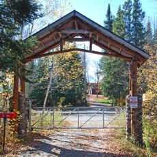
Sam Cohodas Lodge
United States of America

Sam Cohodas Lodge

282 m
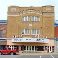
Vista Theater
United States of America

Vista Theater

12.6 km
Marquette City Hall
United States of America

Marquette City Hall

46.6 km
Canyon Falls Bridge
United States of America

Canyon Falls Bridge

37.3 km
Carp River Forge
United States of America

Carp River Forge

33.6 km
Zeba Indian United Methodist Church
United States of America

Zeba Indian United Methodist Church

43.9 km
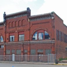
Sundberg Block
United States of America

Sundberg Block

30.1 km
Arvon Township Hall
United States of America

Arvon Township Hall

42.2 km
Old US 41–Backwater Creek Bridge
United States of America

Old US 41–Backwater Creek Bridge

45.2 km
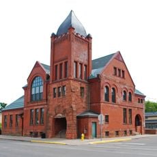
Ishpeming Municipal Building
United States of America

Ishpeming Municipal Building

26.1 km
Cleveland Mine Engine House Number 3
United States of America

Cleveland Mine Engine House Number 3

26.8 km
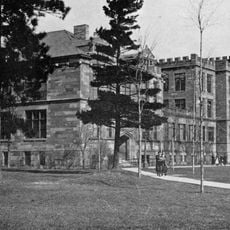
Longyear Hall of Pedagogy
United States of America

Longyear Hall of Pedagogy

46.5 km
Ishpeming Main Street Historic District
United States of America

Ishpeming Main Street Historic District

26 km
Reine utsiktspunkt
Norway

Reine utsiktspunkt

14.2 km
Marquette Regional History Center
United States of America

Marquette Regional History Center

46.6 km
Negaunee State Bank Building
United States of America

Negaunee State Bank Building

30.3 km
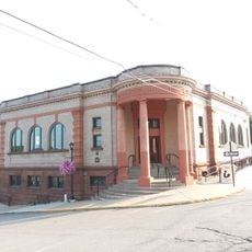
Ishpeming Carnegie Public Library
United States of America

Ishpeming Carnegie Public Library

25.9 km
Steel Bridge
United States of America

Steel Bridge

35.5 km
Show the full map
Reviews
Share your experience

No review yet

Discussions
Start a discussion...

No discussion yet

« Trunk Line Bridge No. 1 - Historic road bridge in Michigamme Township, Michigan, US » is provided by Around Us (aroundus.com). Images and texts are derived from Wikimedia project under a Creative Commons license. You are allowed to copy, distribute, and modify copies of this page, under the conditions set by the license, as long as this note is clearly visible.

Discover hidden gems everywhere you go!

From secret cafés to breathtaking viewpoints, skip the crowded tourist spots and find places that match your style. Our app makes it easy with voice search, smart filtering, route optimization, and insider tips from travelers worldwide. Download now for the complete mobile experience.

Around Us App Screenshot

A unique approach to discovering new places

Le Figaro

All the places worth exploring

France Info

A tailor-made excursion in just a few clicks

20 Minutes

Around Us
Travel Guide & Maps
Download

Send to your phone

QR Code
1

Open the camera app on your mobile.

2

Point at the QR code with your camera. A notification will appear.

3

Tap the notification to open the link.