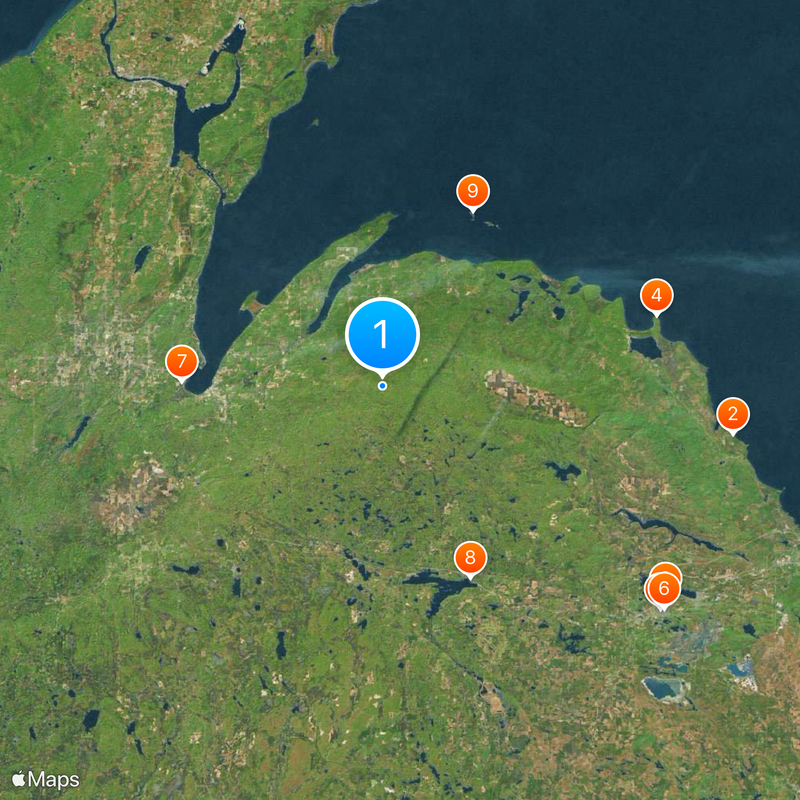
Mount Arvon, Mountain summit in Upper Peninsula, Michigan, United States
Description
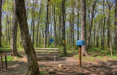
Mount Arvon is the highest natural point in Michigan at 603 meters, located in the Huron Mountains surrounded by forested slopes. The summit opens to a clearing where the trees fall away and views spread across the surrounding landscape.
History
Surveys in the 1980s confirmed the mountain as Michigan's highest point, overturning earlier beliefs about which peak held that distinction. This finding established the Upper Peninsula as home to the state's true highest elevation.
Culture
The mountain rises through thick spruce and pine forests that define the landscape of the region. These woods shape how locals and visitors experience the Upper Peninsula's wild character.
Practical
Access is by forest roads from L'Anse, with the final approach as a short walk from the parking area. The route is straightforward and the climb to the summit takes only a short time.
Did you know?
The mountain is surprisingly easy to reach for a state's highest summit, attracting those seeking the official top. Despite its modest elevation compared to peaks in other regions, standing at the highest point creates a memorable moment for visitors.
AroundUs brings together thousands of curated places, local tips, and hidden gems, enriched daily by 60,000 contributors worldwide. Discover all places nearby (Michigan).
Granot Loma
46.8 km
National Ski Hall of Fame
46.8 km
Big Bay Point Light
37.3 km
Cliffs Shaft Mine Museum
47.1 km
Mather Inn
47.5 km
Baraga State Park
26.4 km
Trunk Line Bridge No. 1
27.8 km
Huron Island Light
26 kmSturgeon River Gorge Wilderness
44.8 km
Sam Cohodas Lodge
28.1 km
Hebard – Ford Summer House
21.7 km
Vista Theater
37.3 km
Keweenaw Waterway Lower Entrance Light
31.7 km
Herman and Anna Hanka Farm
32.9 km
Canyon Falls Bridge
28 km
Jacobsville Finnish Lutheran Church
32.4 km
Zeba Indian United Methodist Church
21.2 km
Arvon Township Hall
14.4 km
Chassell School Complex
41.6 km
Old US 41–Backwater Creek Bridge
25.8 km
County Road C117–Pike River Bridge
40.7 km
Ishpeming Main Street Historic District
47.6 km
Reine utsiktspunkt
40.7 km
Mino-kwe jiigibiik
34.8 km
Ishpeming Carnegie Public Library
47.4 km
Second Sand Beach
20 km
Most Holy Name of Jesus--Saint Blessed Kateri Tekakwitha Catholic Church
25.1 km
Jacobsville Lighthouse
31.6 kmDiscover hidden gems everywhere you go!
From secret cafés to breathtaking viewpoints, skip the crowded tourist spots and find places that match your style. Our app makes it easy with voice search, smart filtering, route optimization, and insider tips from travelers worldwide. Download now for the complete mobile experience.
A unique approach to discovering new places❞
— Le Figaro
All the places worth exploring❞
— France Info
A tailor-made excursion in just a few clicks❞
— 20 Minutes