Enable Location

We need your location to show you interesting places around you

Discover nearby places

Find interesting locations and hidden gems around you

Precise directions

Get accurate directions and distances to places

Your location is never shared with other users. It's only used when you tap the location button.

Juneau County

Log in to your account

Start exploring — it's free

Trusted by 62,058 travelers worldwide

Continue with Google
Continue with Apple
or

We will send you a code to connect

By continuing, you accept our Terms and Conditions and our Privacy Policy

Check your inbox

We've sent a pincode in your inbox. Please enter the code below.

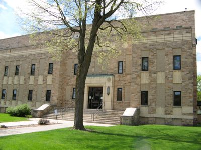
Juneau County, Administrative county in central Wisconsin, United States.

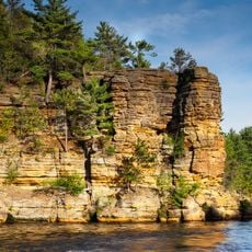
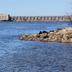
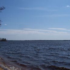
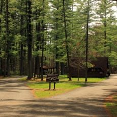
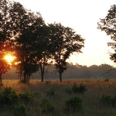
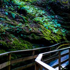
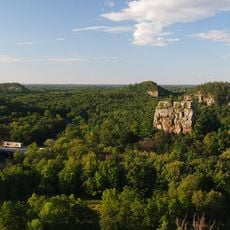
Juneau County is an administrative county in central Wisconsin featuring forests, lakes, and rivers spread across a large landscape. Water shapes the terrain and supports diverse ecosystems throughout the region.

The county was established in 1856 when the Wisconsin Legislature separated lands west of the Wisconsin River from Adams County. It was named after Solomon Juneau, founder of Milwaukee.

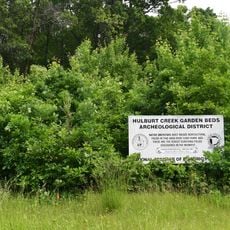
Native American heritage remains visible through archaeological sites like the thunderbird etchings at Twin Bluffs and ancient burial mounds. These places tell stories of people who lived here long before European settlement.

The region connects to larger cities through multiple highways, making travel through the area straightforward. Rail service offers an alternative to driving for longer journeys.

The area has two small airports that serve local and regional air transportation. These facilities play an important role in the region's transport network.

The community of curious travelers

AroundUs brings together thousands of curated places, local tips, and hidden gems, enriched daily by 60,000 contributors worldwide.

Start exploring
Location
Inception
October 13, 1856
Capital city
Mauston
Shares border with
Wood County, Adams County, Columbia County, Sauk County, Vernon County, Monroe County, Jackson County
GPS coordinates
43.92000,-90.11000
Latest update
December 7, 2025 19:29
Around this place
Dells of the Wisconsin River
United States of America

Dells of the Wisconsin River

40.2 km
Hades 360
United States of America

Hades 360

42.5 km
Petenwell Lake
United States of America

Petenwell Lake

26.4 km
Roche-a-Cri State Park
United States of America

Roche-a-Cri State Park

25 km
Buckhorn State Park
United States of America

Buckhorn State Park

8.8 km
Rocky Arbor State Park
United States of America

Rocky Arbor State Park

39.4 km
Riverside and Great Northern Railway
United States of America

Riverside and Great Northern Railway

40.2 km
Necedah National Wildlife Refuge
United States of America

Necedah National Wildlife Refuge

22.4 km
Timbavati Wildlife Park
United States of America

Timbavati Wildlife Park

42.5 km
H. H. Bennett Studio
United States of America

H. H. Bennett Studio

42.2 km
Roche-a-Cri Petroglyphs
United States of America

Roche-a-Cri Petroglyphs

25.1 km
Zeus
United States of America

Zeus

42.5 km
Cyclops
United States of America

Cyclops

42.5 km
Benjamin Boorman House
United States of America

Benjamin Boorman House

13.8 km
Jacob Weber House
United States of America

Jacob Weber House

42.2 km
Juneau County Courthouse
United States of America

Juneau County Courthouse

14 km
Sotekizan Korinzenji
United States of America

Sotekizan Korinzenji

33.3 km
Tomah Public Library
United States of America

Tomah Public Library

32.3 km
Adams County Courthouse
United States of America

Adams County Courthouse

24.3 km
Wawbeek-Horace A.J. Upham House
United States of America

Wawbeek-Horace A.J. Upham House

42.2 km
Bowman House
United States of America

Bowman House

42.7 km
Hulburt Creek Garden Beds
United States of America

Hulburt Creek Garden Beds

40.5 km
Witches Gulch
United States of America

Witches Gulch

37.1 km
Cranberry Discovery Center
United States of America

Cranberry Discovery Center

39 km
Friendship Beach
United States of America

Friendship Beach

24.4 km
Museum of Historic Torture Devices
United States of America

Museum of Historic Torture Devices

42.3 km
Mill Bluff State Park
United States of America

Mill Bluff State Park

16.7 km
Museum of Root Beer
United States of America

Museum of Root Beer

42.5 km
Show the full map
Administrative divisions
« Juneau County - Administrative county in central Wisconsin, United States » is provided by Around Us (aroundus.com). Images and texts are derived from Wikimedia project under a Creative Commons license. You are allowed to copy, distribute, and modify copies of this page, under the conditions set by the license, as long as this note is clearly visible.

Discover hidden gems everywhere you go!

From secret cafés to breathtaking viewpoints, skip the crowded tourist spots and find places that match your style. Our app makes it easy with voice search, smart filtering, route optimization, and insider tips from travelers worldwide. Download now for the complete mobile experience.

Around Us App Screenshot

A unique approach to discovering new places

Le Figaro

All the places worth exploring

France Info

A tailor-made excursion in just a few clicks

20 Minutes

Around Us
Travel Guide & Maps
Download

Send to your phone

QR Code
1

Open the camera app on your mobile.

2

Point at the QR code with your camera. A notification will appear.

3

Tap the notification to open the link.