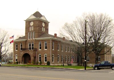
Meigs County, Administrative county in Tennessee, United States
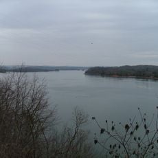
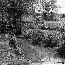
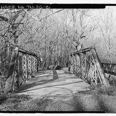
Meigs County is an administrative area in Tennessee with rolling terrain shaped by two major rivers that define its boundaries and character. The Tennessee River marks its western edge, while the Hiwassee River runs through the southern section and influences the local landscape.
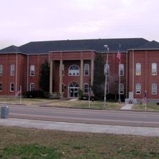
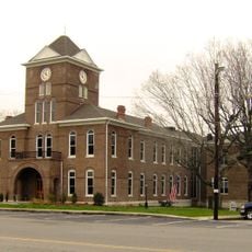
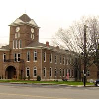
The region became a separate county in 1836 when the Tennessee legislature created it from nearby lands and named it after a Revolutionary War officer. This establishment gave the area its own local government and distinct administrative identity.
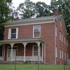
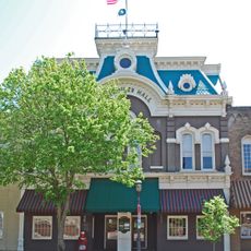
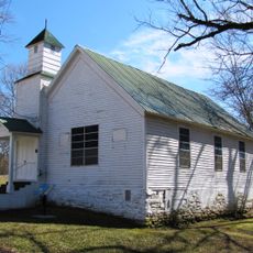
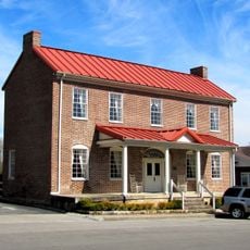
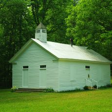
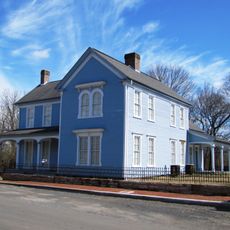
The county's communities reflect the heritage of settlers and farming families who shaped the region over generations. You can see this history in local gathering places and how people have organized their neighborhoods around farming and river life.
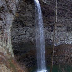
Two state highways connect different parts of the county and make it easy to drive through the region. When exploring on the ground, allow time to venture down smaller roads and visit the river areas themselves to understand what the place is really like.
An island within the county holds traces of people who lived there around a thousand years ago and built ceremonial mounds with a central gathering space. These earthworks offer a window into how ancient communities structured their settlements.
Location: Tennessee
Inception: 1836
Capital city: Decatur
Shares border with: Roane County, Bradley County, McMinn County, Hamilton County, Rhea County
Website: https://meigstn.com
GPS coordinates: 35.51000,-84.81000
Latest update: December 7, 2025 19:31
Craighead Caverns
34.4 km
Watts Bar Lake
12.6 km
Ozone Falls State Natural Area
41.2 km
Ozone Falls
41.1 km
Rhea County Courthouse
18.4 km
Rattlesnake Springs
30.1 kmLaurel-Snow State Natural Area
19.3 km
Henegar House
25.4 km
Tamke-Allan Observatory
39.9 km
Craigmiles Hall
39.4 km
Centenary Avenue Historic District
38.6 km
Pikeville Chapel African Methodist Episcopal Zion Church
35.6 km
John Bridgman House
35.3 km
Bledsoe County Courthouse
35.9 km
Clear Springs Cumberland Presbyterian Church
28.8 km
Ocoee Street Historic District
38.3 km
Dr. James A. Ross House
35.8 km
First United Presbyterian Church
20.6 km
W.J. Hughes Business House
39.5 km
Broyles-Darwin House
19.2 km
Cleveland Commercial Historic District
39.4 km
Dr. Walter Thomison House
19.2 km
Meigs County Courthouse
1.9 km
Gooch Creek Arch
18.4 km
Fillauer Brothers Building
39.5 km
Rhea County Court House Historic landmark
18.5 km
Samuel Cleage House
21 km
Dobbs Ford Bridge
36.4 kmVisited this place? Tap the stars to rate it and share your experience / photos with the community! Try now! You can cancel it anytime.
Discover hidden gems everywhere you go!
From secret cafés to breathtaking viewpoints, skip the crowded tourist spots and find places that match your style. Our app makes it easy with voice search, smart filtering, route optimization, and insider tips from travelers worldwide. Download now for the complete mobile experience.
A unique approach to discovering new places❞
— Le Figaro
All the places worth exploring❞
— France Info
A tailor-made excursion in just a few clicks❞
— 20 Minutes