Breckinridge County

Log in to your account

AroundUs is a community-driven map of interesting places, built by curious explorers like you. It grows with every review, story, and photo you share.
Connect to save your favorite spots, contribute locations, and create personalized routes.
Continue with Google
Continue with Apple
Continue with X
Continue with Facebook
Continue with email
By continuing, you accept our Terms and Conditions and our Privacy Policy
Create an account
Add to collection
Map
Suggest a change
Share

Breckinridge County, Administrative county in Kentucky, United States.

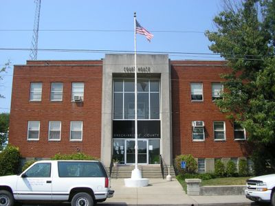
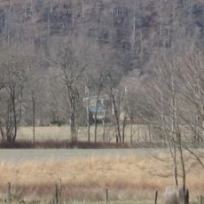
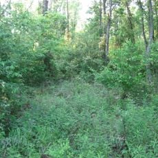
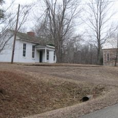
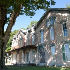
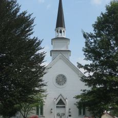
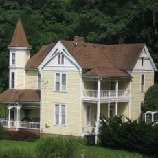
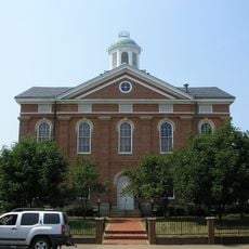
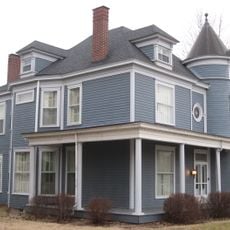
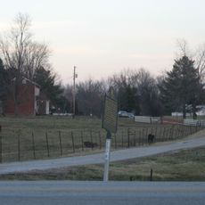
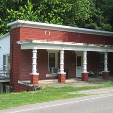
Breckinridge County is an administrative division in central Kentucky with Hardinsburg as its county seat. The area consists of rolling countryside with scattered farms, woodlands, and small communities spread throughout.

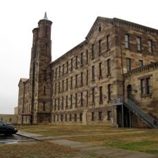
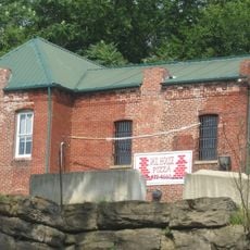
The county was established in 1799 and named after John Breckinridge, a U.S. Senator and Attorney General. Early economic development centered on coal mining, which shaped the region's growth and character for generations.

The county transformed from a dry territory to allow alcohol sales in 2013, marking a substantial change after 105 years of prohibition.

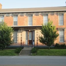
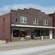
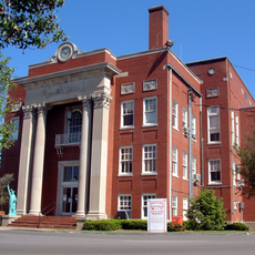
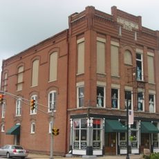
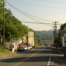
Visitors will find basic services and amenities in Hardinsburg's downtown area, including shops, restaurants, and lodging options. The county is best explored by car, as public transportation is limited throughout the rural region.

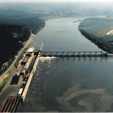
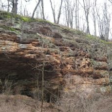
Coal mines in the region once produced coal oil that was exported to Great Britain, demonstrating early international trade connections. This mining heritage shaped the landscape and left visible marks that tell the story of the area's past industrial activity.

Location: Kentucky

Inception: December 9, 1799

Capital city: Hardinsburg

Shares border with: Meade County, Hardin County, Grayson County, Ohio County, Hancock County, Perry County

Website: http://breckinridgecounty.net

GPS coordinates: 37.77000,-86.43000

Latest update: December 7, 2025 19:24

Photos
Around this place
Confederate Monument in Louisville
United States of America

Confederate Monument in Louisville

34.7 km
Cannelton Locks and Dam
United States of America

Cannelton Locks and Dam

28.2 km
Doe Run Inn
United States of America

Doe Run Inn

34.3 km
Matthew E. Welsh Bridge
United States of America

Matthew E. Welsh Bridge

34.3 km
Rockhouse Cliffs Rockshelters
United States of America

Rockhouse Cliffs Rockshelters

34.8 km
Cannelton Cotton Mill
United States of America

Cannelton Cotton Mill

31.9 km
Bob Cummings – Lincoln Trail Bridge
United States of America

Bob Cummings – Lincoln Trail Bridge

31.3 km
Kintner-Withers House
United States of America

Kintner-Withers House

39.7 km
Swan's Landing Archeological Site
United States of America

Swan's Landing Archeological Site

42.7 km
Falls of Rough Historic District
United States of America

Falls of Rough Historic District

22.7 km
Meade County Jail
United States of America

Meade County Jail

34.8 km
Jack Thomas House
United States of America

Jack Thomas House

34.5 km
Joseph Holt House and Chapel
United States of America

Joseph Holt House and Chapel

20.3 km
Irvington Historic District
United States of America

Irvington Historic District

17.9 km
Cannelton Historic District
United States of America

Cannelton Historic District

31.8 km
Old Perry County Courthouse
United States of America

Old Perry County Courthouse

19 km
Brandenburg Methodist Episcopal Church
United States of America

Brandenburg Methodist Episcopal Church

34.3 km
Court Square Historic District (Leitchfield, Kentucky)
United States of America

Court Square Historic District (Leitchfield, Kentucky)

34.4 km
Tell City Oddfellows' Hall
United States of America

Tell City Oddfellows' Hall

36 km
Edward Yeakel House
United States of America

Edward Yeakel House

34.6 km
Hancock County Courthouse
United States of America

Hancock County Courthouse

31.6 km
Hunter House
United States of America

Hunter House

34.3 km
Robert C. Beauchamp House
United States of America

Robert C. Beauchamp House

37.3 km
Brandenburg Commercial District
United States of America

Brandenburg Commercial District

34.6 km
Jones-Willis House
United States of America

Jones-Willis House

34.5 km
Immaculate Conception Church
United States of America

Immaculate Conception Church

32.2 km
Doe Run Creek Historic District
United States of America

Doe Run Creek Historic District

33.6 km
Mill Creek Bridge
United States of America

Mill Creek Bridge

40.1 km
Show the full map
Reviews

Visited this place? Tap the stars to rate it and share your experience / photos with the community! Try now! You can cancel it anytime.

« Breckinridge County - Administrative county in Kentucky, United States » is provided by Around Us (aroundus.com). Images and texts are derived from Wikimedia project under a Creative Commons license. You are allowed to copy, distribute, and modify copies of this page, under the conditions set by the license, as long as this note is clearly visible.

Discover hidden gems everywhere you go!

From secret cafés to breathtaking viewpoints, skip the crowded tourist spots and find places that match your style. Our app makes it easy with voice search, smart filtering, route optimization, and insider tips from travelers worldwide. Download now for the complete mobile experience.

Around Us App Screenshot

A unique approach to discovering new places

Le Figaro

All the places worth exploring

France Info

A tailor-made excursion in just a few clicks

20 Minutes