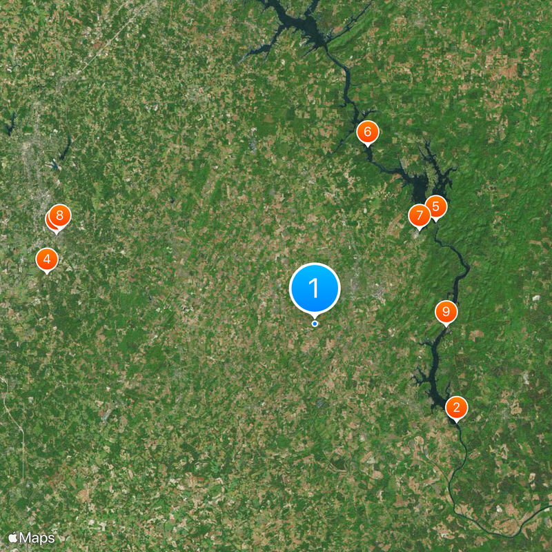
Stanly County, Administrative county in North Carolina, US
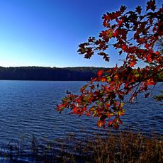
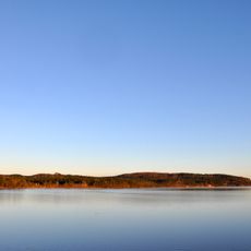
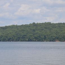
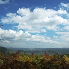
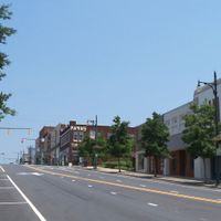
Stanly County is an administrative division in North Carolina with forests, rolling terrain, and protected natural areas inland from the coast. The area contains several small towns and rural communities spread across gently hilly landscape.
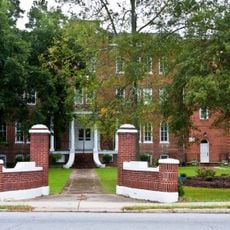
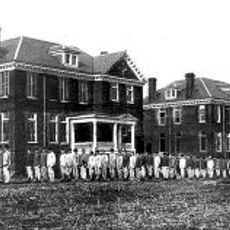
The county was established in 1841 and named after John Stanly of New Bern, a North Carolina politician. The area was originally settled by Dutch, German, and Scots-Irish people who arrived from Pennsylvania and New Jersey during the 1700s.
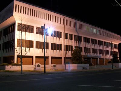
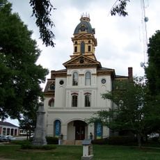
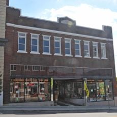
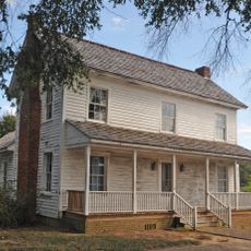
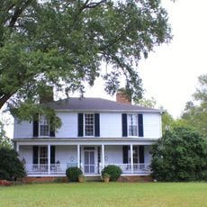
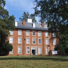
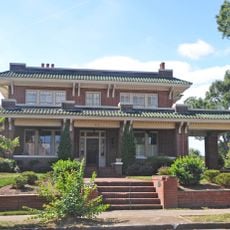
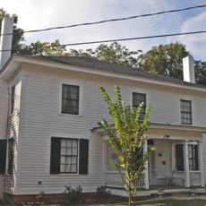
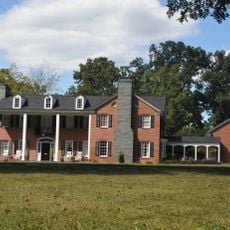
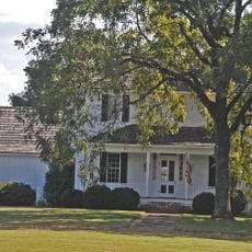
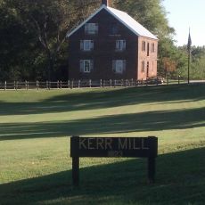
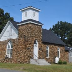
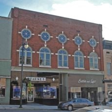
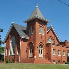
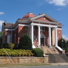
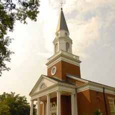
The region carries traces of its early settlement patterns in local place names and older buildings that reflect immigrant communities. Visitors can spot these influences in how small towns are laid out and in the architecture of historic structures.
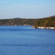
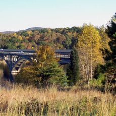
The county provides access to state parks and national forests for outdoor activities like hiking and nature viewing. Visitors find the best conditions in spring and fall when temperatures are mild and vegetation is abundant.
The county's name was officially standardized through legislation in 1971 to prevent frequent spelling errors. Interestingly, the politician for whom the area was named had no direct ties to this region.
Location: North Carolina
Inception: 1841
Capital city: Albemarle
Shares border with: Rowan County, Davidson County, Montgomery County, Anson County, Union County, Cabarrus County, Richmond County
Website: http://co.stanly.nc.us
GPS coordinates: 35.31000,-80.25000
Latest update: December 20, 2025 15:47
Lake Tillery
20.3 km
Barber–Scotia College
32.3 km
Stonewall Jackson Youth Development Center
32.2 km
Badin Lake
18.8 km
Tuckertown Reservoir
22 km
Hardaway Site
16.6 km
Cabarrus County Courthouse
32.1 km
James B. Garrison Bridge
15.5 km
Narrows Dam and Power Plant Complex
18.7 km
Rocky River Presbyterian Church
31.8 km
Downtown Albemarle Historic District
6.4 km
Five Points Historic District
6.7 km
Isaiah Wilson Snugs House
6.7 km
Robert Harvey Morrison Farm and Pioneer Mills Gold Mine
31.1 km
Mount Pleasant Collegiate Institute Historic District
19.8 km
Thomas Marcellus Denning House
7 km
Mount Pleasant Historic District
19.7 km
Bethel Church Arbor
27.1 km
Pee Dee Avenue Historic District
7.5 km
Randle House
14.3 km
Kerr Mill
28.1 km
First Congregational Church
18.9 km
South Union Street Historic District
31.3 km
Albemarle Opera House
6.5 km
Mount Gilead Downtown Historic District
24.9 km
Second Street Historic District
6.6 km
Morrow Mountain State Park
17.8 km
Pfeiffer Junior College Historic District
19.7 kmVisited this place? Tap the stars to rate it and share your experience / photos with the community! Try now! You can cancel it anytime.
Discover hidden gems everywhere you go!
From secret cafés to breathtaking viewpoints, skip the crowded tourist spots and find places that match your style. Our app makes it easy with voice search, smart filtering, route optimization, and insider tips from travelers worldwide. Download now for the complete mobile experience.
A unique approach to discovering new places❞
— Le Figaro
All the places worth exploring❞
— France Info
A tailor-made excursion in just a few clicks❞
— 20 Minutes