Enable Location

We need your location to show you interesting places around you

Discover nearby places

Find interesting locations and hidden gems around you

Precise directions

Get accurate directions and distances to places

Your location is never shared with other users. It's only used when you tap the location button.

McDowell County

Log in to your account

Start exploring — it's free

Trusted by 63,100 travelers worldwide

Continue with Google
Continue with Apple
or

We will send you a code to connect

By continuing, you accept our Terms and Conditions and our Privacy Policy

Check your inbox

We've sent a pincode in your inbox. Please enter the code below.

Discussion Reviews 1 Photos
21.9k Popularity

McDowell County, County in western North Carolina, US

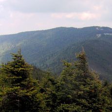
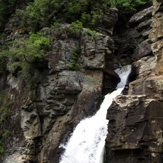
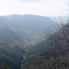
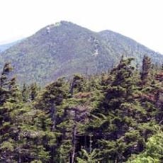
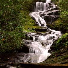
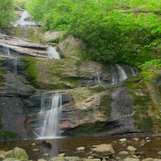
McDowell County is a county in western North Carolina covering about 445 square miles of land. The area encompasses portions of the Pisgah National Forest and the Catawba River watershed.

The county was established in 1842 and named after Colonel Joseph McDowell, a participant in the Revolutionary War's Battle of Kings Mountain. Settlement and industrial development shaped the region throughout the 19th century.

The Native American heritage remains present through archaeological sites revealing artifacts from the Woodland period and Mississippian culture between 250 and 1500 AD.

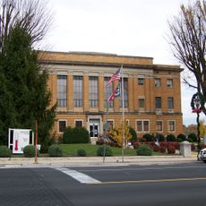
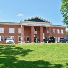
The county seat of Marion serves as the administrative hub offering services such as tax collection, property registration, and emergency management. Visitors can find the main services concentrated in this central location.

Local history tells that the first land grant in 1748 went to John McDowell after he won a wrestling match that determined the right to apply for the territory. This unusual method of land allocation reflects the frontier customs of the era.

The community of curious travelers

AroundUs brings together thousands of curated places, local tips, and hidden gems, enriched daily by 60,000 contributors worldwide.

Start exploring
Location
Inception
1842
Capital city
Marion
Shares border with
Mitchell County, Avery County, Burke County, Rutherford County, Buncombe County, Yancey County
GPS coordinates
35.68000,-82.05000
Latest update
December 22, 2025 18:54
Around this place
Mount Mitchell
United States of America

Mount Mitchell

21.6 km
Linville Falls
United States of America

Linville Falls

32 km
Linville Gorge Wilderness
United States of America

Linville Gorge Wilderness

28 km
Mount Craig
United States of America

Mount Craig

22 km
Catawba Falls
United States of America

Catawba Falls

19.6 km
Table Rock
United States of America

Table Rock

27.9 km
Andrews Geyser
United States of America

Andrews Geyser

17.5 km
Mitchell Falls
United States of America

Mitchell Falls

23.6 km
Lake James State Park
United States of America

Lake James State Park

15.7 km
Penland School of Craft
United States of America

Penland School of Craft

30 km
Carson House
United States of America

Carson House

1.5 km
Toms Creek Falls
United States of America

Toms Creek Falls

10.9 km
Celo Knob
United States of America

Celo Knob

26.3 km
Roaring Fork Falls
United States of America

Roaring Fork Falls

16.1 km
Church of the Resurrection
United States of America

Church of the Resurrection

19.4 km
Setrock Creek Falls
United States of America

Setrock Creek Falls

17.8 km
Main Street Historic District
United States of America

Main Street Historic District

3.7 km
United States of America

Whiteoak Creek Falls

22.4 km
United States of America

Linville Falls Tavern

32.5 km
United States of America

Humpback Mountain

30.5 km
Gillespie Gap
United States of America

Gillespie Gap

19.2 km
United States of America

Mountain Gateway Museum and Heritage Center

13.2 km
First Presbyterian Church
United States of America

First Presbyterian Church

3.4 km
St. Matthew's Lutheran Church
United States of America

St. Matthew's Lutheran Church

3.4 km
St. John's Episcopal Church
United States of America

St. John's Episcopal Church

3.9 km
Yancey Collegiate Institute Historic District
United States of America

Yancey Collegiate Institute Historic District

34.8 km
Depot Historic District
United States of America

Depot Historic District

3.6 km
United States of America

Arrowhead Monument

13.2 km
Show the full map
Reviews
Share your experience

No review yet

Discussions
Start a discussion...

No discussion yet

Administrative divisions
« McDowell County - County in western North Carolina, US » is provided by Around Us (aroundus.com). Images and texts are derived from Wikimedia project under a Creative Commons license. You are allowed to copy, distribute, and modify copies of this page, under the conditions set by the license, as long as this note is clearly visible.

Discover hidden gems everywhere you go!

From secret cafés to breathtaking viewpoints, skip the crowded tourist spots and find places that match your style. Our app makes it easy with voice search, smart filtering, route optimization, and insider tips from travelers worldwide. Download now for the complete mobile experience.

Around Us App Screenshot

A unique approach to discovering new places

Le Figaro

All the places worth exploring

France Info

A tailor-made excursion in just a few clicks

20 Minutes

Around Us
Travel Guide & Maps
Download

Send to your phone

QR Code
1

Open the camera app on your mobile.

2

Point at the QR code with your camera. A notification will appear.

3

Tap the notification to open the link.