Enable Location

We need your location to show you interesting places around you

Discover nearby places

Find interesting locations and hidden gems around you

Precise directions

Get accurate directions and distances to places

Your location is never shared with other users. It's only used when you tap the location button.

Polk County

Log in to your account

Start exploring — it's free

Trusted by 61,333 travelers worldwide

Continue with Google
Continue with Apple
or

We will send you a code to connect

By continuing, you accept our Terms and Conditions and our Privacy Policy

Check your inbox

We've sent a pincode in your inbox. Please enter the code below.

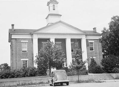
Polk County, Administrative county in western North Carolina, US

Description

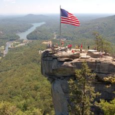
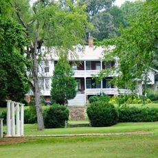
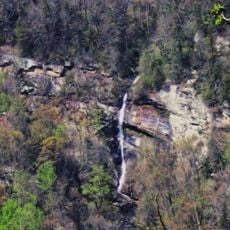
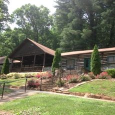
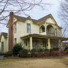
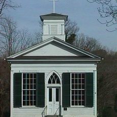
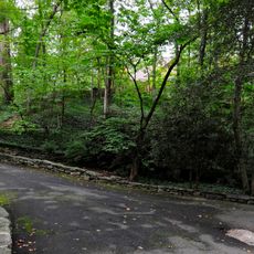
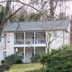
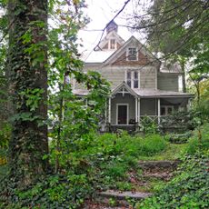
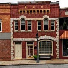
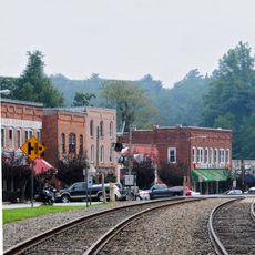
Polk County is an administrative area in western North Carolina located between the Blue Ridge Mountains and Piedmont regions. The landscape includes Lake Adger and Tryon Peak, with Columbus serving as the county seat.

History

The area was created in 1855 by dividing parts of Henderson and Rutherford counties, and was named after Colonel William Polk, a Revolutionary War veteran. This founding established it as a separate administrative entity in the region.

Culture

The Tryon International Equestrian Center in Mill Spring serves as a regional hub for horseback riding enthusiasts and competitive riders. The facility shapes how locals view their county's role in equestrian sports and community gatherings.

Practical

Columbus provides access to Interstate 26 and US Highway 74, making travel through the area straightforward. The rolling terrain can be challenging on foot, so having a vehicle helps when exploring different parts of the region.

Did you know?

The region sits in the Thermal Belt, where temperatures remain milder than in neighboring areas. Additionally, the Saluda Railroad Grade passes through the landscape, recognized as one of the steepest main line grades in the country.

Location
Inception
1855
Capital city
Columbus
Shares border with
Rutherford County, Henderson County, Spartanburg County, Greenville County
GPS coordinates
35.28000,-82.17000
Latest update
December 7, 2025 10:07

AroundUs brings together thousands of curated places, local tips, and hidden gems, enriched daily by 60,000 contributors worldwide. Discover all places nearby (North Carolina).

Around this place
Show the full map
Administrative divisions
« Polk County - Administrative county in western North Carolina, US » is provided by Around Us (aroundus.com). Images and texts are derived from Wikimedia project under a Creative Commons license. You are allowed to copy, distribute, and modify copies of this page, under the conditions set by the license, as long as this note is clearly visible.

Discover hidden gems everywhere you go!

From secret cafés to breathtaking viewpoints, skip the crowded tourist spots and find places that match your style. Our app makes it easy with voice search, smart filtering, route optimization, and insider tips from travelers worldwide. Download now for the complete mobile experience.

Around Us App Screenshot

A unique approach to discovering new places

Le Figaro

All the places worth exploring

France Info

A tailor-made excursion in just a few clicks

20 Minutes

Around Us
Travel Guide & Maps
Download

Send to your phone

QR Code
1

Open the camera app on your mobile.

2

Point at the QR code with your camera. A notification will appear.

3

Tap the notification to open the link.