
Oscoda County, County administrative division in Northern Michigan, US.
Oscoda County extends across 572 square miles of land within the Huron National Forest and the AuSable River Valley in Northern Michigan.
The Michigan State Legislature established Oscoda County in 1840, yet its governing structure remained incomplete until 1881, when full administrative operations began.
The name Oscoda derives from Native American Ojibwa words ossin and muskoda, created by geographer Henry Schoolcraft to represent the pebbly prairie landscape.
The county maintains an extensive network of recreational paths, including snowmobile routes, ATV trails, and cross-country skiing tracks throughout its territory.
With 8,219 residents recorded in 2020, Oscoda County holds the position of least populated county in Michigan's Lower Peninsula.
Location: Michigan
Inception: 1840
Capital city: Mio
Shares border with: Montmorency County, Alpena County, Alcona County, Iosco County, Ogemaw County, Roscommon County, Crawford County, Otsego County
Website: http://OscodaCountyMi.Com
GPS coordinates: 44.68000,-84.13000
Latest update: March 3, 2025 02:30
Hartwick Pines State Park
43.3 km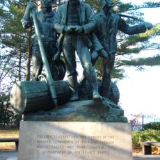
Lumberman's Monument
48.5 km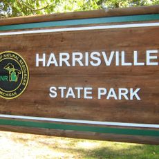
Harrisville State Park
66.3 km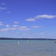
South Higgins Lake State Park
51.3 km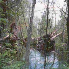
Au Sable State Forest
64.6 km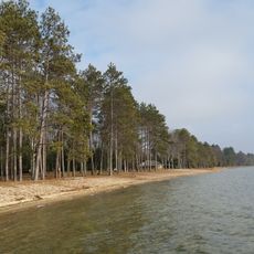
North Higgins Lake State Park
53.1 km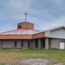
St. Mary, Our Lady of Mount Carmel Cathedral
58.8 km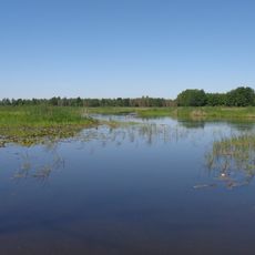
Dead Stream Flooding State Wildlife Management Area
65.9 km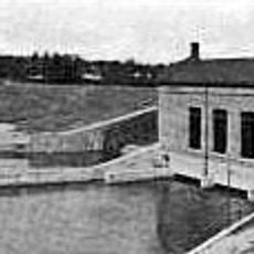
Five Channels Dam
43.8 km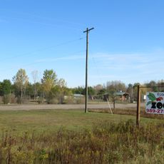
Roscommon Zoo
33.8 km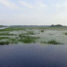
Houghton Lake Flats Flooding State Wildlife Management Area
63.8 km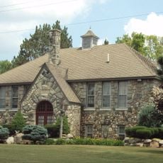
Eggleston School
60.5 km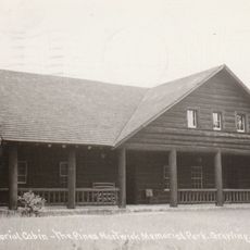
Edward E. Hartwick Memorial Building
42 km
Douglas House
31 km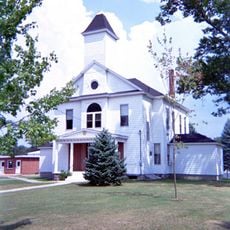
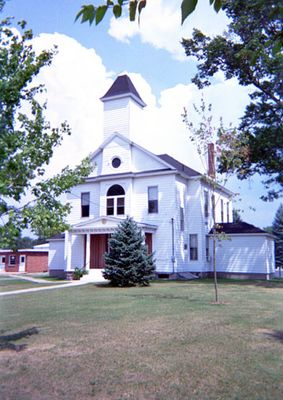
Oscoda County Courthouse
3.4 km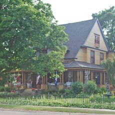
Frank A. and Rae E. Harris Kramer House
58 km
Call of the Wild Museum
57.7 km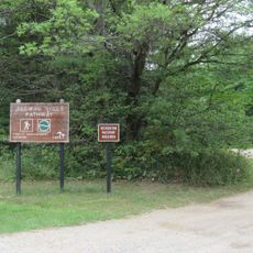
Ogemaw Hills Pathway
37.5 km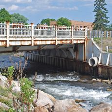
M-72–Au Sable River Bridge
46.1 km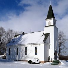
Leer Lutheran Church
66 km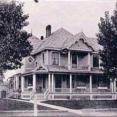
James A. and Lottie J.
57.8 km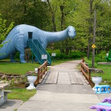
Dinosaur Gardens
60.3 km
White Pine National
49.4 km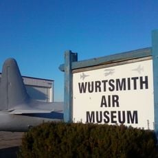
Wurtsmith Air Museum
66 km
CoopersVille USA
18.8 km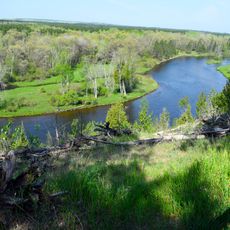
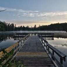
Au Sable National Scenic River
13.3 km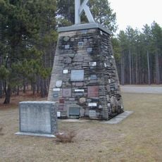
Kiwanis Monument
49.1 km
Rollways Campground and Day Use Area
37.4 kmReviews
Visited this place? Tap the stars to rate it and share your experience / photos with the community! Try now! You can cancel it anytime.
Discover hidden gems everywhere you go!
From secret cafés to breathtaking viewpoints, skip the crowded tourist spots and find places that match your style. Our app makes it easy with voice search, smart filtering, route optimization, and insider tips from travelers worldwide. Download now for the complete mobile experience.

A unique approach to discovering new places❞
— Le Figaro
All the places worth exploring❞
— France Info
A tailor-made excursion in just a few clicks❞
— 20 Minutes