Watauga County

Log in to your account

AroundUs is a community-driven map of interesting places, built by curious explorers like you. It grows with every review, story, and photo you share.
Connect to save your favorite spots, contribute locations, and create personalized routes.
By continuing, you accept our Terms and Conditions and our Privacy Policy
Add to collection
Map
Suggest a change
Share

Watauga County, County in North Carolina, United States.

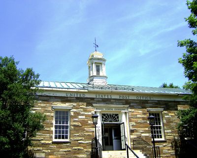
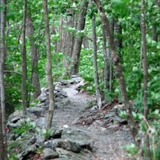
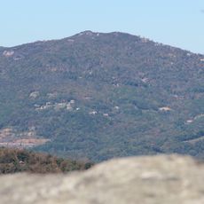
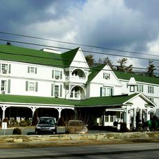
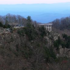
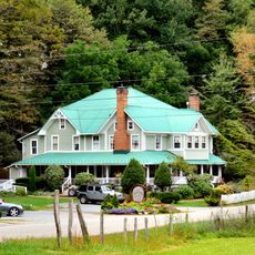
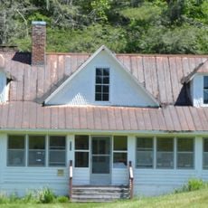
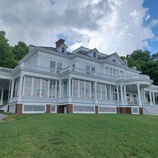
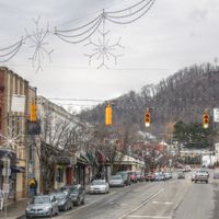
Watauga County is an administrative division in the High Country region of North Carolina featuring mountain terrain and valleys. The area spans approximately 313 square miles and includes several towns and rural communities, with Boone serving as the county seat.

The county was established in 1849 from portions of neighboring counties and took its name from the Cherokee language. This founding marked the development of an independent administrative region in the western mountains of North Carolina.

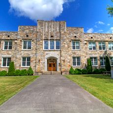
Appalachian State University shapes daily life through student activities and cultural events happening year-round. The university influences the local scene with concerts, exhibitions, and festivals that bring students and residents together.

Visitors should prepare for mountain terrain and variable weather conditions, especially at higher elevations. Temperatures are notably cooler than elsewhere in North Carolina, so layered clothing is advisable.

The area is a significant producer of Fraser fir trees sold nationwide during the holiday season. These tree varieties thrive in the cooler mountain conditions and notably shape the local agricultural economy.

Location: North Carolina

Inception: 1849

Capital city: Boone

Shares border with: Ashe County, Wilkes County, Caldwell County, Avery County, Johnson County

Website: http://wataugacounty.org

GPS coordinates: 36.23000,-81.70000

Latest update: December 13, 2025 01:46

Photos
Around this place
Tweetsie Railroad
United States of America

Tweetsie Railroad

8 km
Kidd Brewer Stadium
United States of America

Kidd Brewer Stadium

2.4 km
Sugar Mountain
United States of America

Sugar Mountain

19.7 km
George M. Holmes Convocation Center
United States of America

George M. Holmes Convocation Center

3.1 km
Elk Knob State Park
United States of America

Elk Knob State Park

11 km
Moses H. Cone Memorial Park
United States of America

Moses H. Cone Memorial Park

9 km
Julian Price Memorial Park
United States of America

Julian Price Memorial Park

10.6 km
Beech Mountain
United States of America

Beech Mountain

17.1 km
Green Park Inn
United States of America

Green Park Inn

12.9 km
Howard Knob
United States of America

Howard Knob

2.1 km
Blowing Rock
United States of America

Blowing Rock

13.4 km
East Tennessee and Western North Carolina Railroad 12
United States of America

East Tennessee and Western North Carolina Railroad 12

8.1 km
Daniel Boone Hotel
United States of America

Daniel Boone Hotel

2 km
Daniel Boone Native Gardens
United States of America

Daniel Boone Native Gardens

3.5 km
Rich Mountain
United States of America

Rich Mountain

826 m
Valle Crucis Episcopal Mission
United States of America

Valle Crucis Episcopal Mission

9.4 km
Tomkins Knob
United States of America

Tomkins Knob

20 km
Mast Farm
United States of America

Mast Farm

6.9 km
Jones House
United States of America

Jones House

2 km
Cove Creek High School
United States of America

Cove Creek High School

8.5 km
Banner Elk Hotel
United States of America

Banner Elk Hotel

17.3 km
Blair Farm
United States of America

Blair Farm

5.5 km
Valle Crucis Historic District
United States of America

Valle Crucis Historic District

7.4 km
Hickory Ridge Homestead
United States of America

Hickory Ridge Homestead

3.6 km
The Cone Manor
United States of America

The Cone Manor

9 km
United States Post Office
United States of America

United States Post Office

1.7 km
Vardell Family Cottages Historic District
United States of America

Vardell Family Cottages Historic District

11.7 km
Saint Elizabeth Catholic Church
United States of America

Saint Elizabeth Catholic Church

5.3 km
Show the full map
Reviews

Visited this place? Tap the stars to rate it and share your experience / photos with the community! Try now! You can cancel it anytime.

Administrative divisions
« Watauga County - County in North Carolina, United States » is provided by Around Us (aroundus.com). Images and texts are derived from Wikimedia project under a Creative Commons license. You are allowed to copy, distribute, and modify copies of this page, under the conditions set by the license, as long as this note is clearly visible.

Discover hidden gems everywhere you go!

From secret cafés to breathtaking viewpoints, skip the crowded tourist spots and find places that match your style. Our app makes it easy with voice search, smart filtering, route optimization, and insider tips from travelers worldwide. Download now for the complete mobile experience.

Around Us App Screenshot

A unique approach to discovering new places

Le Figaro

All the places worth exploring

France Info

A tailor-made excursion in just a few clicks

20 Minutes