Enable Location

We need your location to show you interesting places around you

Discover nearby places

Find interesting locations and hidden gems around you

Precise directions

Get accurate directions and distances to places

Your location is never shared with other users. It's only used when you tap the location button.

Leslie County

Log in to your account

Start exploring — it's free

Trusted by 61,686 travelers worldwide

Continue with Google
Continue with Apple
or

We will send you a code to connect

By continuing, you accept our Terms and Conditions and our Privacy Policy

Check your inbox

We've sent a pincode in your inbox. Please enter the code below.

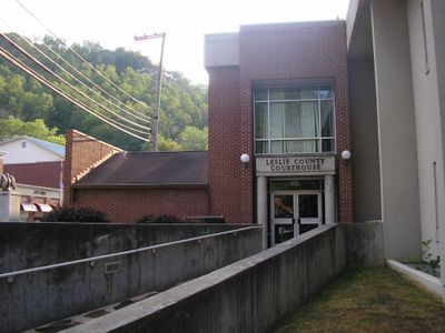
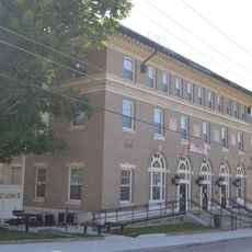
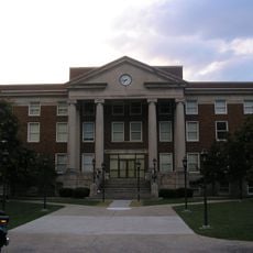
Leslie County, County seat in eastern Kentucky, United States

Description

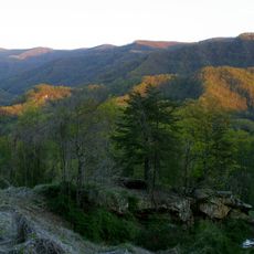
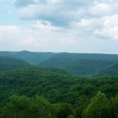
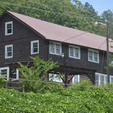
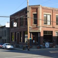
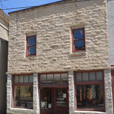
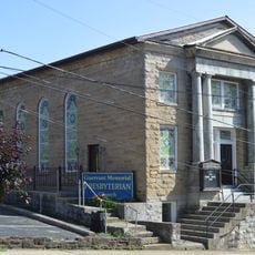
Leslie County is an administrative division in eastern Kentucky with scattered communities nestled in forested, rolling terrain. The landscape consists of steep ridges and valley bottoms that define the geography of the region.

History

The county was established in 1878 from portions of surrounding counties and named after Governor Preston Leslie. Its creation was part of larger administrative reorganization efforts in the Appalachian region.

Culture

The Frontier Nursing Service, based in Wendover near Hyden, has shaped healthcare delivery for scattered rural communities since its founding. The organization remains central to how residents access medical care across remote areas.

Practical

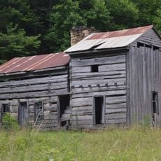
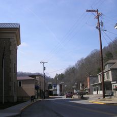
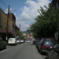
The area is predominantly rural with services spread across scattered settlements and requires advance planning when visiting. Travelers should research the location of amenities beforehand, as businesses and facilities are far apart.

Did you know?

The area has an uncommon voting pattern that sets it apart from most regions in the United States. This distinctive aspect reflects deeply rooted local traditions that have shaped political choices over generations.

Location
Inception
March 29, 1878
Capital city
Hyden
Shares border with
Perry County, Bell County, Harlan County, Clay County
GPS coordinates
37.09000,-83.38000
Latest update
December 7, 2025 19:24

AroundUs brings together thousands of curated places, local tips, and hidden gems, enriched daily by 60,000 contributors worldwide. Discover all places nearby (Kentucky).

Around this place
Black Mountain
United States of America

Black Mountain

47.4 km
Daniel Boone National Forest
United States of America

Daniel Boone National Forest

49.1 km
Pine Mountain State Resort Park
United States of America

Pine Mountain State Resort Park

47.8 km
Hensley Settlement
United States of America

Hensley Settlement

48.6 km
Black Mountain Off-Road Adventure Area
United States of America

Black Mountain Off-Road Adventure Area

28.7 km
Carr Creek Lake
United States of America

Carr Creek Lake

37.1 km
Kentucky Coal Mining Museum
United States of America

Kentucky Coal Mining Museum

40.6 km
Carr Creek State Park
United States of America

Carr Creek State Park

37.1 km
Robinson Forest
United States of America

Robinson Forest

47.5 km
John Shell Cabin
United States of America

John Shell Cabin

13.3 km
Wendover, Kentucky
United States of America

Wendover, Kentucky

4.4 km
Buckhorn Presbyterian Church and the Greer Gymnasium
United States of America

Buckhorn Presbyterian Church and the Greer Gymnasium

29.9 km
Jackson Post Office
United States of America

Jackson Post Office

51.6 km
Kentucky Route 2014 Bridge
United States of America

Kentucky Route 2014 Bridge

46.3 km
Breathitt County Jail
United States of America

Breathitt County Jail

51.6 km
M.E. Church, South
United States of America

M.E. Church, South

51.5 km
Wooton Presbyterian Center
United States of America

Wooton Presbyterian Center

12.3 km
Pineville Courthouse Square Historic District
United States of America

Pineville Courthouse Square Historic District

46.1 km
Hindman Historic District
United States of America

Hindman Historic District

44.7 km
Harlan Commercial District
United States of America

Harlan Commercial District

27.5 km
Peabody-Fordson Historic District
United States of America

Peabody-Fordson Historic District

19.4 km
Benham Historic District
United States of America

Benham Historic District

40.7 km
Lynch Historic District
United States of America

Lynch Historic District

43.4 km
Cumberland Central Business District
United States of America

Cumberland Central Business District

36.9 km
Whitesburg Historic District
United States of America

Whitesburg Historic District

49.3 km
Bolen Building
United States of America

Bolen Building

44.5 km
Jackson Commercial District
United States of America

Jackson Commercial District

51.5 km
Martins Fork Lake
United States of America

Martins Fork Lake

39.7 km
Show the full map
« Leslie County - County seat in eastern Kentucky, United States » is provided by Around Us (aroundus.com). Images and texts are derived from Wikimedia project under a Creative Commons license. You are allowed to copy, distribute, and modify copies of this page, under the conditions set by the license, as long as this note is clearly visible.

Discover hidden gems everywhere you go!

From secret cafés to breathtaking viewpoints, skip the crowded tourist spots and find places that match your style. Our app makes it easy with voice search, smart filtering, route optimization, and insider tips from travelers worldwide. Download now for the complete mobile experience.

Around Us App Screenshot

A unique approach to discovering new places

Le Figaro

All the places worth exploring

France Info

A tailor-made excursion in just a few clicks

20 Minutes

Around Us
Travel Guide & Maps
Download

Send to your phone

QR Code
1

Open the camera app on your mobile.

2

Point at the QR code with your camera. A notification will appear.

3

Tap the notification to open the link.