Enable Location

We need your location to show you interesting places around you

Discover nearby places

Find interesting locations and hidden gems around you

Precise directions

Get accurate directions and distances to places

Your location is never shared with other users. It's only used when you tap the location button.

Nicholas County

Log in to your account

Start exploring — it's free

Trusted by 61,692 travelers worldwide

Continue with Google
Continue with Apple
or

We will send you a code to connect

By continuing, you accept our Terms and Conditions and our Privacy Policy

Check your inbox

We've sent a pincode in your inbox. Please enter the code below.

Nicholas County, County in Kentucky, United States

Description

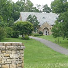
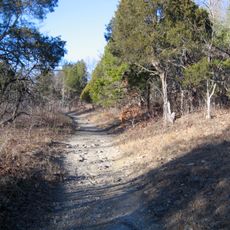
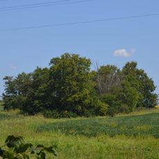
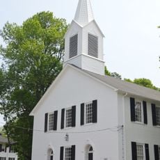
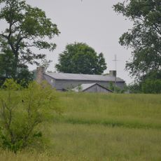
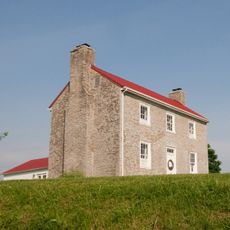
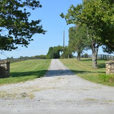
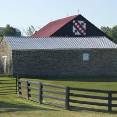
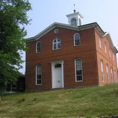
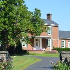
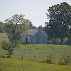
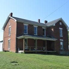
Nicholas County is a county in Kentucky featuring rural communities and farming operations across rolling terrain. The landscape is dominated by agricultural land and scattered settlements.

History

Established in 1799, it was named after Colonel George Nicholas, who played a key role in developing Kentucky's Constitution. This founder's influence shaped the region's political foundations from the beginning.

Culture

Horse breeding shapes the local identity and landscape here, with working farms visible throughout the region. This agricultural focus remains central to how residents live and work.

Practical

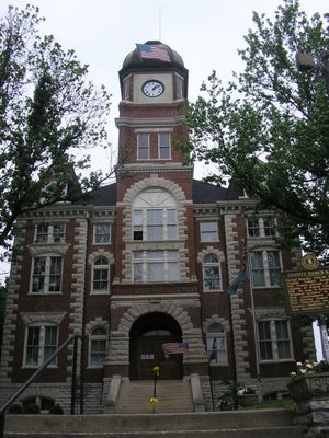
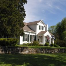
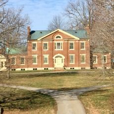
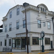
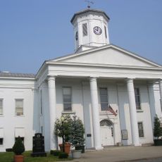
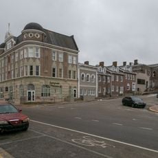
Carlisle functions as the administrative center where you can find government services and local facilities. Getting around the rural area is easier with your own vehicle since public transportation is limited.

Did you know?

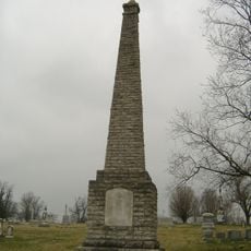
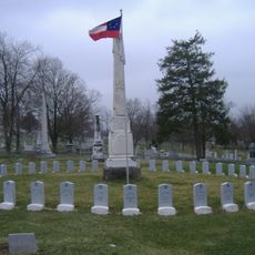
Blue Licks Battlefield State Resort Park marks where one of the Revolutionary War's final engagements took place. Walking the grounds connects visitors directly to an important moment in American history.

Location
Inception
December 18, 1799
Capital city
Carlisle
Shares border with
Robertson County, Fleming County, Bath County, Montgomery County, Bourbon County, Harrison County
GPS coordinates
38.34000,-84.01000
Latest update
December 10, 2025 15:56

AroundUs brings together thousands of curated places, local tips, and hidden gems, enriched daily by 60,000 contributors worldwide. Discover all places nearby (Kentucky).

Around this place
Cane Ridge
United States of America

Cane Ridge

18.1 km
Blue Licks Battlefield State Park
United States of America

Blue Licks Battlefield State Park

9.9 km
Paris Cemetery
United States of America

Paris Cemetery

27 km
Confederate Monument in Cynthiana
United States of America

Confederate Monument in Cynthiana

24.4 km
The Grange
United States of America

The Grange

19 km
Colville Covered Bridge
United States of America

Colville Covered Bridge

17 km
Johnson Creek Covered Bridge
United States of America

Johnson Creek Covered Bridge

16 km
Mound Hill Archaeological Site
United States of America

Mound Hill Archaeological Site

29.1 km
Forest Retreat
United States of America

Forest Retreat

4.5 km
First Presbyterian Church
United States of America

First Presbyterian Church

25.7 km
United States of America

Bourbon County Courthouse

25.3 km
Church of the Advent, Episcopal
United States of America

Church of the Advent, Episcopal

25.9 km
Thomas Metcalf House
United States of America

Thomas Metcalf House

18.9 km
Walker Buckner House
United States of America

Walker Buckner House

18.9 km
Elizaville Presbyterian Church
United States of America

Elizaville Presbyterian Church

18.4 km
Raccoon John Smith House
United States of America

Raccoon John Smith House

30.3 km
Thomas Deye Owings House
United States of America

Thomas Deye Owings House

30.5 km
Poague House
United States of America

Poague House

26.3 km
Harrison County Courthouse
United States of America

Harrison County Courthouse

25.7 km
May's Lick Negro School
United States of America

May's Lick Negro School

24.8 km
Snow Hill
United States of America

Snow Hill

15.5 km
Stone Barn on Brushy Creek
United States of America

Stone Barn on Brushy Creek

5.1 km
Paris Courthouse Square Historic District
United States of America

Paris Courthouse Square Historic District

25.3 km
J.J. Nesbitt House
United States of America

J.J. Nesbitt House

30.4 km
Robertson County Courthouse
United States of America

Robertson County Courthouse

21.5 km
William Mathers House
United States of America

William Mathers House

4.3 km
Erasmus Riggs House
United States of America

Erasmus Riggs House

9.2 km
Thomas A. Dorsey Farmhouse
United States of America

Thomas A. Dorsey Farmhouse

3.5 km
Show the full map
« Nicholas County - County in Kentucky, United States » is provided by Around Us (aroundus.com). Images and texts are derived from Wikimedia project under a Creative Commons license. You are allowed to copy, distribute, and modify copies of this page, under the conditions set by the license, as long as this note is clearly visible.

Discover hidden gems everywhere you go!

From secret cafés to breathtaking viewpoints, skip the crowded tourist spots and find places that match your style. Our app makes it easy with voice search, smart filtering, route optimization, and insider tips from travelers worldwide. Download now for the complete mobile experience.

Around Us App Screenshot

A unique approach to discovering new places

Le Figaro

All the places worth exploring

France Info

A tailor-made excursion in just a few clicks

20 Minutes

Around Us
Travel Guide & Maps
Download

Send to your phone

QR Code
1

Open the camera app on your mobile.

2

Point at the QR code with your camera. A notification will appear.

3

Tap the notification to open the link.