Enable Location

We need your location to show you interesting places around you

Discover nearby places

Find interesting locations and hidden gems around you

Precise directions

Get accurate directions and distances to places

Your location is never shared with other users. It's only used when you tap the location button.

Harrison County

Log in to your account

Start exploring — it's free

Trusted by 63,421 travelers worldwide

Continue with Google
Continue with Apple
or

We will send you a code to connect

By continuing, you accept our Terms and Conditions and our Privacy Policy

Check your inbox

We've sent a pincode in your inbox. Please enter the code below.

Discussion Reviews 1 Photos
17.5k Popularity

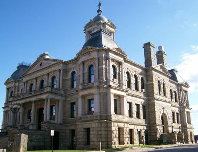
Harrison County, County seat in eastern Ohio, United States.

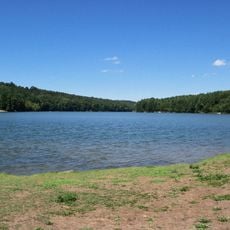
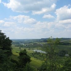
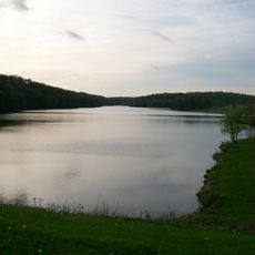
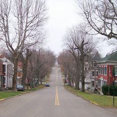
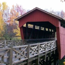
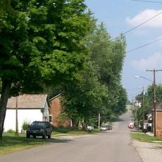
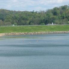
Harrison County covers rolling terrain in eastern Ohio with extensive farmland and the Conotton Creek flowing through its landscape. The area includes several small towns with Cadiz as the administrative center.

Established in 1813 from neighboring counties, it was named after General William Henry Harrison, who became president years later. This naming reflects the region's connection to early American westward expansion.

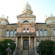
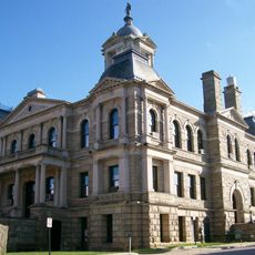
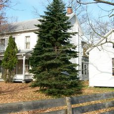
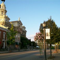
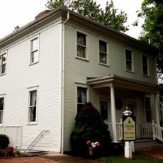
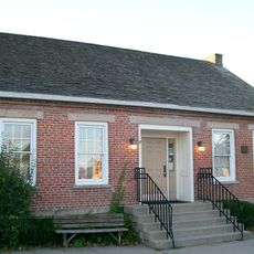
Cadiz serves as the community center where regular events and gatherings reflect the county's rural heritage and close-knit traditions. Local residents maintain strong ties to the region's farming roots through seasonal celebrations and public meetings.

Exploring the county is best done by car since towns are spread across secondary roads and public transit is limited. Most services and administrative offices are centered in Cadiz, the main hub.

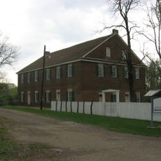
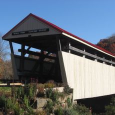
The Conotton Creek Trail is a well-maintained paved pathway built on a former railway line connecting Bowerston and Jewett. This route shows how old transportation corridors have been repurposed for recreation.

The community of curious travelers

AroundUs brings together thousands of curated places, local tips, and hidden gems, enriched daily by 60,000 contributors worldwide.

Start exploring
Location
Inception
February 1, 1813
Capital city
Cadiz
Shares border with
Carroll County, Jefferson County, Belmont County, Guernsey County, Tuscarawas County
GPS coordinates
40.29000,-81.09000
Latest update
December 7, 2025 19:24
Around this place
Leesville Lake
United States of America

Leesville Lake

21.7 km
Egypt Valley Wildlife Area
United States of America

Egypt Valley Wildlife Area

19.5 km
Barkcamp State Park
United States of America

Barkcamp State Park

28.3 km
Belmont County Courthouse
United States of America

Belmont County Courthouse

28.3 km
Mount Pleasant Historic District
United States of America

Mount Pleasant Historic District

27.9 km
Harrison County Courthouse
United States of America

Harrison County Courthouse

8 km
Friends Meetinghouse
United States of America

Friends Meetinghouse

27.6 km
Conotton Creek Trail
United States of America

Conotton Creek Trail

10.6 km
Shaeffer Campbell Covered Bridge
United States of America

Shaeffer Campbell Covered Bridge

26 km
Great Western Schoolhouse
United States of America

Great Western Schoolhouse

25.9 km
Benjamin Lundy House
United States of America

Benjamin Lundy House

27.5 km
Opatrny Village Site
United States of America

Opatrny Village Site

27 km
Franklin College Building No. 5
United States of America

Franklin College Building No. 5

13.9 km
Harrison National Bank
United States of America

Harrison National Bank

8.2 km
Kilgore Union Presbyterian Church
United States of America

Kilgore Union Presbyterian Church

20.4 km
Dennison High School
United States of America

Dennison High School

23.7 km
St. Clairsville Public Library
United States of America

St. Clairsville Public Library

28.3 km
Morristown Historic District
United States of America

Morristown Historic District

25.2 km
Ourant's School
United States of America

Ourant's School

3.1 km
Henry Law Farm Historic District
United States of America

Henry Law Farm Historic District

15.7 km
St. Clairsville Historic District
United States of America

St. Clairsville Historic District

28.3 km
Deersville Historic District
United States of America

Deersville Historic District

8.7 km
Clark Gable Museum
United States of America

Clark Gable Museum

8.6 km
Piedmont Lake
United States of America

Piedmont Lake

18.7 km
John Reaves House
United States of America

John Reaves House

17.5 km
Skull Fork Covered Bridge
United States of America

Skull Fork Covered Bridge

19.3 km
Benjamin Lundy Home
United States of America

Benjamin Lundy Home

27.5 km
Gnadenhutten
United States of America

Gnadenhutten

30.1 km
Show the full map
Reviews
Share your experience

No review yet

Discussions
Start a discussion...

No discussion yet

Administrative divisions
« Harrison County - County seat in eastern Ohio, United States » is provided by Around Us (aroundus.com). Images and texts are derived from Wikimedia project under a Creative Commons license. You are allowed to copy, distribute, and modify copies of this page, under the conditions set by the license, as long as this note is clearly visible.

Discover hidden gems everywhere you go!

From secret cafés to breathtaking viewpoints, skip the crowded tourist spots and find places that match your style. Our app makes it easy with voice search, smart filtering, route optimization, and insider tips from travelers worldwide. Download now for the complete mobile experience.

Around Us App Screenshot

A unique approach to discovering new places

Le Figaro

All the places worth exploring

France Info

A tailor-made excursion in just a few clicks

20 Minutes

Around Us
Travel Guide & Maps
Download

Send to your phone

QR Code
1

Open the camera app on your mobile.

2

Point at the QR code with your camera. A notification will appear.

3

Tap the notification to open the link.