Letcher County, Administrative county in eastern Kentucky, United States.
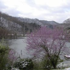
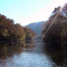
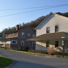
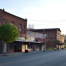
Letcher County is an administrative county in the eastern Appalachian region of Kentucky, featuring mountainous terrain and Whitesburg as its county seat. The area consists of rural communities and small towns scattered throughout the valleys and hillsides.
The Kentucky legislature established Letcher County in 1842, carving out an administrative district from previously unsettled Appalachian highlands. Coal mining became the region's primary industry by the late 1800s, transforming the landscape and economy for generations.
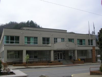
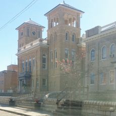
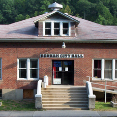
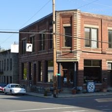
Local government operations center around the Letcher County courthouse, where officials manage civil cases, ordinances, and administrative procedures for the community.
The area is accessible by local roads that wind through the hilly terrain, connecting Whitesburg with surrounding communities. Visitors should expect rural conditions where services may be limited and travel times between locations tend to be longer than in urban areas.
A 2023 incident at the county courthouse resulted in significant changes to local law enforcement leadership and judicial administration procedures.
Location: Kentucky
Inception: 1842
Capital city: Whitesburg
Shares border with: Pike County, Knott County, Perry County, Harlan County, Wise County
Website: http://letchercounty.ky.gov
GPS coordinates: 37.12000,-82.85000
Latest update: December 7, 2025 10:05
Black Mountain
23.2 km
High Knob
32 km
Bad Branch Falls State Nature Preserve
9.1 km
Carr Creek Lake
18.7 km
Kentucky Coal Mining Museum
19.5 km
Southwest Virginia Museum Historical State Park
29.2 km
Carr Creek State Park
18.4 km
Ralph Stanley Museum
35 km
Wise County Courthouse
28.8 km
June Tolliver House
29 km
John Fox, Jr. House
29 km
E. M. Fulton House
28.6 km
Sunnydale Farm
26.2 km
Terrace Park Girl Scout Cabin
29 km
Clinch Ranger District Cluster
22.4 km
Tacoma School
35 km
Stonega Historic District
19.3 km
Dickenson County Courthouse
35 km
Derby Historic District
20.9 km
United States Post Office and Courthouse
29 km
Hindman Historic District
26.6 km
North Fork of the Pound
17.1 km
Benham Historic District
19.6 km
Lynch Historic District
18.3 km
Cumberland Central Business District
20.4 km
Whitesburg Historic District
2.2 km
Bolen Building
26.6 km
North Fork Pound Reservoir
19.5 kmReviews
Visited this place? Tap the stars to rate it and share your experience / photos with the community! Try now! You can cancel it anytime.
Discover hidden gems everywhere you go!
From secret cafés to breathtaking viewpoints, skip the crowded tourist spots and find places that match your style. Our app makes it easy with voice search, smart filtering, route optimization, and insider tips from travelers worldwide. Download now for the complete mobile experience.
A unique approach to discovering new places❞
— Le Figaro
All the places worth exploring❞
— France Info
A tailor-made excursion in just a few clicks❞
— 20 Minutes