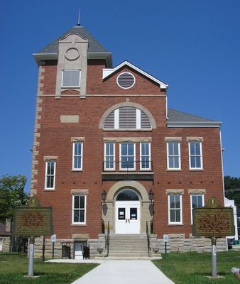
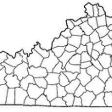
Rowan County, Administrative county in northeastern Kentucky, US.
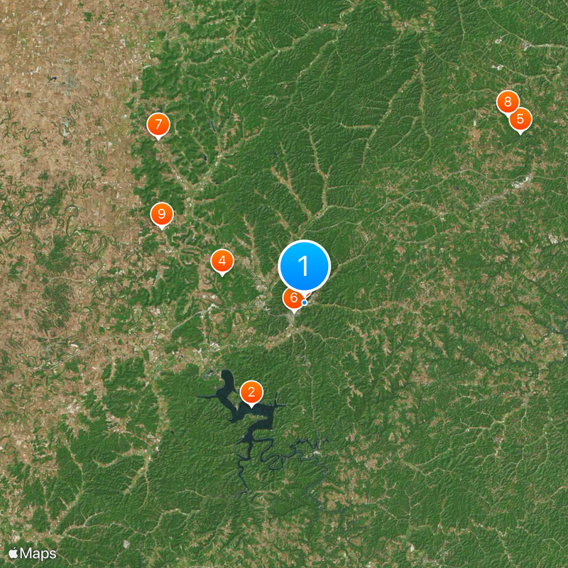
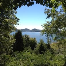
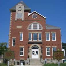
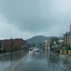
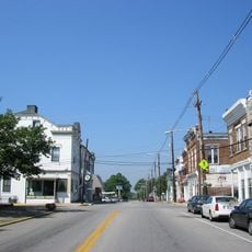
Rowan County is an administrative county in northeastern Kentucky with rolling terrain, woodlands, and waterways spread across its rural landscape. Towns and rural communities are linked by roads that serve as the main connections throughout the region.
The Kentucky General Assembly established this county in 1856 by combining parts of Fleming and Morgan counties. It was named in honor of Senator John Rowan, a significant figure of that era.
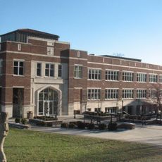
Students at the county participate in technology leadership programs and environmental initiatives through specialized outdoor classroom facilities.
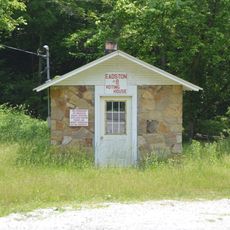
Alcoholic beverages can only be purchased in the city of Morehead, as other areas maintain restrictions on their sale. Visitors should keep this in mind when planning their stay.
The highest point in the county, Limestone Knob, rises to about 1,400 feet (427 m) above sea level. This prominent peak shapes the local topography.
Location: Kentucky
Inception: 1856
Capital city: Morehead
Shares border with: Carter County, Elliott County, Morgan County, Menifee County, Bath County, Fleming County, Lewis County
Website: http://moreheadrowan.org/rowancounty
GPS coordinates: 38.19000,-83.42000
Latest update: December 20, 2025 12:20
Cave Run Lake
13.6 km
Jayne Stadium
510 mSugarloaf Mountain
10.2 km
Shangra La Arch
32 km
Kentucky Folk Art Center
1.6 km
Goddard Covered Bridge
25.7 kmTygarts State Forest
32.2 km
Ringos Mill Covered Bridge
18.8 km
Hillsboro Covered Bridge
21.6 km
Confederate Monument in Owingsville
30.2 km
Rowan County Courthouse
1.3 km
Downtown Morehead Historic District
1.8 km
Haldeman Voting House No. 8
10.3 km
Owingsville Commercial District and Courthouse Square
30.5 kmBrushy Voting House No. 6
8.3 kmOlympia State Forest
28.7 kmLake Lewman
18.1 km
Sheltowee Falls Splash Pad
1.2 kmOlive Hill Reservoir
22.5 kmUniversity Cinema
1.4 kmChestnut Cliffs
20.2 kmCedar Cliffs
19.4 km
Morehead State University
1.3 kmAmburgy Rocks
6.4 kmEagle Trace Golf Course
13.8 kmOld Homestead
31.5 kmOld Homestead
31.4 kmShallow Flats Wildlife Viewing Area
11.8 kmVisited this place? Tap the stars to rate it and share your experience / photos with the community! Try now! You can cancel it anytime.
Discover hidden gems everywhere you go!
From secret cafés to breathtaking viewpoints, skip the crowded tourist spots and find places that match your style. Our app makes it easy with voice search, smart filtering, route optimization, and insider tips from travelers worldwide. Download now for the complete mobile experience.
A unique approach to discovering new places❞
— Le Figaro
All the places worth exploring❞
— France Info
A tailor-made excursion in just a few clicks❞
— 20 Minutes