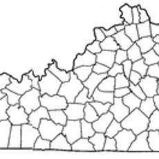
Tygarts State Forest, State forest in Carter County, Kentucky, US
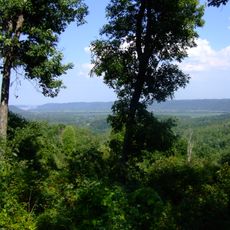
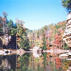
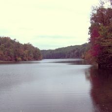
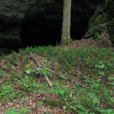
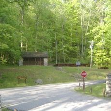
Tygarts State Forest is a state forest in Carter County, Kentucky, covering roughly 1,200 acres with mostly wooded terrain. The land includes both dense forest sections and more open areas that create varied habitats throughout the property.
The forest was established in 1957 to protect and preserve natural lands in eastern Kentucky's mountainous region. This creation was part of broader efforts to safeguard the region's valuable forest resources for future generations.
The forest serves as a place where visitors can observe how woodland management shapes the landscape and supports local ecosystems. People come here to see how nature is cared for and to understand its role in protecting the region's natural heritage.
The forest can be reached from Interstate 64 and Kentucky Route 182, with additional access points via local roads. Visitors should know that there are no marked trails or developed roads here, so planning ahead is important for a safe visit.
The forest is intentionally kept without marked trails or developed roads, creating an undisturbed natural space where wildlife thrives undisturbed. This approach makes it an unusual destination where visitors can step into a largely wild environment that few forests in the region offer.
The community of curious travelers
AroundUs brings together thousands of curated places, local tips, and hidden gems, enriched daily by 60,000 contributors worldwide.