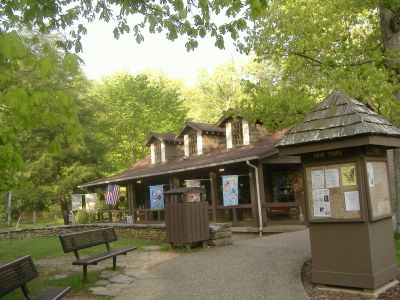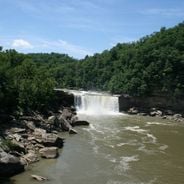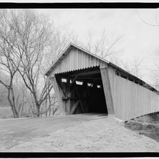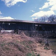
Carter Caves State Resort Park, Show cave and state park in Carter County, Kentucky, United States
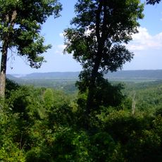
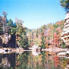
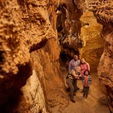
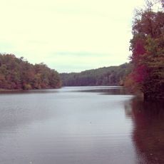
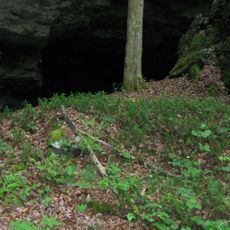
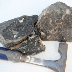
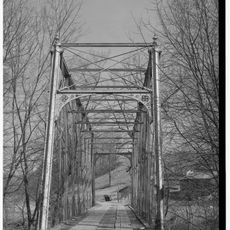
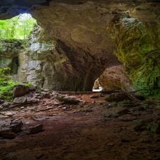
Carter Caves State Resort Park is a recreational area with multiple limestone caves containing underground passages, natural bridges, and rock formations across forested land. The park features distinct caves, each with its own characteristics such as underground waterfalls and spacious chambers.
Kentucky established this state resort park in 1946, converting private land into a public destination for nature exploration. The creation of this public space marked an important shift in how the cave systems became accessible to visitors.
The park hosts seasonal events that bring visitors together to explore the cave systems and learn about the region's natural environment. These gatherings reflect how local communities value the underground formations and woodlands as places for shared experience and discovery.
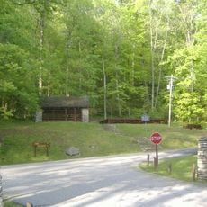
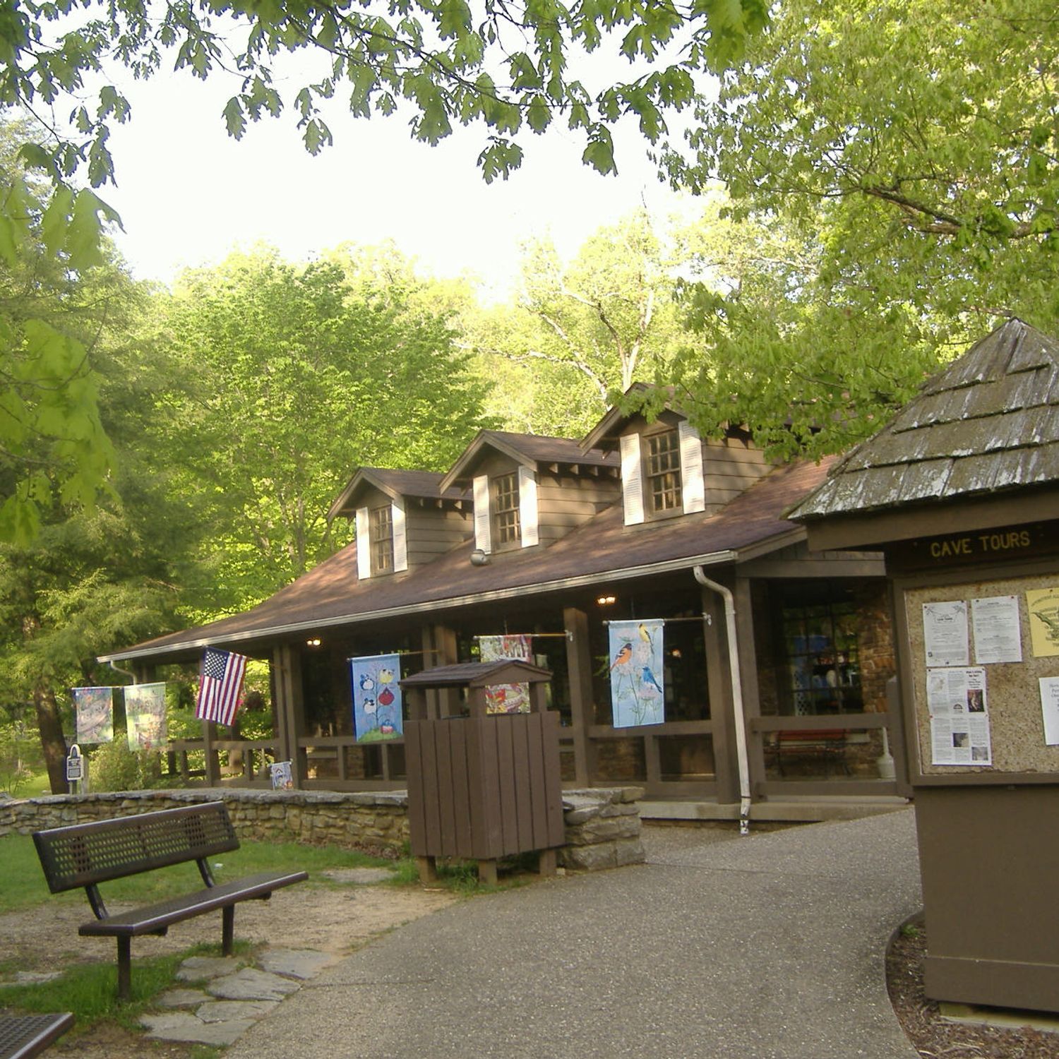
Visitors can join guided tours to explore four different caves and experience the varied geological features throughout the park. The best time to visit is during drier periods to safely navigate the walking paths and cave entrances.
The park protects hibernation areas where bat populations reside during winter months. These specialized underground sections are temperature-controlled to avoid disturbing the animals during their extended winter rest.
The community of curious travelers
AroundUs brings together thousands of curated places, local tips, and hidden gems, enriched daily by 60,000 contributors worldwide.