Enable Location

We need your location to show you interesting places around you

Discover nearby places

Find interesting locations and hidden gems around you

Precise directions

Get accurate directions and distances to places

Your location is never shared with other users. It's only used when you tap the location button.

Carter County

Log in to your account

Start exploring — it's free

Trusted by 62,831 travelers worldwide

Continue with Google
Continue with Apple
or

We will send you a code to connect

By continuing, you accept our Terms and Conditions and our Privacy Policy

Check your inbox

We've sent a pincode in your inbox. Please enter the code below.

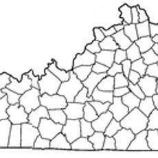
Carter County, Administrative division in northeastern Kentucky, United States.

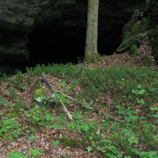
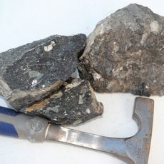
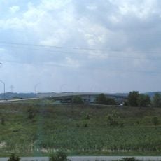
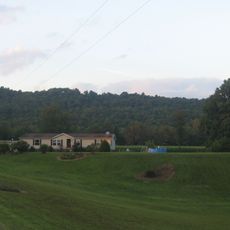
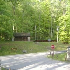
Carter County is an administrative division in northeastern Kentucky covering roughly 412 square miles of terrain. The landscape features rolling hills, valleys, and waterways that form the natural structure of the region.

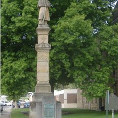
The county was established on February 9, 1838, from portions of Greenup and Lawrence counties and named after state Senator William Grayson Carter. This founding reflected the administrative expansion of eastern Kentucky during the 1800s.

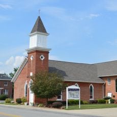
The county maintains strong ties to its agricultural heritage through local festivals, community gatherings, and traditional practices passed down through generations.

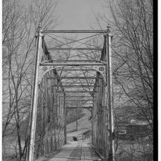
Interstate 64 and U.S. Route 60 serve as the main transportation corridors through the county, connecting residents to larger cities and regional services. These routes provide good access to neighboring areas and surrounding regions.

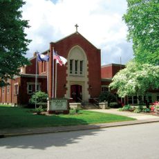
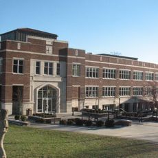
Kentucky Christian University in Grayson serves as a notable educational center with deep roots in the community. The county's classification as a moist territory means alcohol sales follow specific local rules that may surprise visitors unfamiliar with such restrictions.

The community of curious travelers

AroundUs brings together thousands of curated places, local tips, and hidden gems, enriched daily by 60,000 contributors worldwide.

Start exploring
Location
Inception
February 9, 1838
Capital city
Grayson
Shares border with
Lewis County, Greenup County, Boyd County, Lawrence County, Elliott County, Rowan County
GPS coordinates
38.33000,-83.05000
Latest update
December 7, 2025 20:20
Around this place
Carter Caves State Resort Park
United States of America

Carter Caves State Resort Park

8 km
Grayson Lake
United States of America

Grayson Lake

10.5 km
Jayne Stadium
United States of America

Jayne Stadium

36.2 km
Ironton–Russell Bridge
United States of America

Ironton–Russell Bridge

38.7 km
Greenup Lock and Dam
United States of America

Greenup Lock and Dam

39 km
Grayson Lake State Park
United States of America

Grayson Lake State Park

13 km
Greenbo Lake
United States of America

Greenbo Lake

24 km
Bat Cave and Cascade Caverns State Nature Preserves
United States of America

Bat Cave and Cascade Caverns State Nature Preserves

6.1 km
Kentucky Folk Art Center
United States of America

Kentucky Folk Art Center

37.5 km
Union Monument in Vanceburg
United States of America

Union Monument in Vanceburg

38 km
Elliott County Kimberlite
United States of America

Elliott County Kimberlite

22.9 km
Jesse Stuart Memorial Bridge
United States of America

Jesse Stuart Memorial Bridge

39 km
Adams County Paleo-Indian District
United States of America

Adams County Paleo-Indian District

38 km
Saltpeter Cave
United States of America

Saltpeter Cave

8.3 km
St. Paul's Lutheran Church
United States of America

St. Paul's Lutheran Church

39 km
Bennett's Mill Covered Bridge
United States of America

Bennett's Mill Covered Bridge

35.1 km
Oldtown Covered Bridge
United States of America

Oldtown Covered Bridge

17.6 km
Rowan County Courthouse
United States of America

Rowan County Courthouse

37.2 km
Downtown Morehead Historic District
United States of America

Downtown Morehead Historic District

37.6 km
Wurtland Union Church
United States of America

Wurtland Union Church

34 km
Haldeman Voting House No. 8
United States of America

Haldeman Voting House No. 8

25.7 km
Culbertson House
United States of America

Culbertson House

38.8 km
Greenup Masonic Lodge
United States of America

Greenup Masonic Lodge

33.3 km
Methodist Episcopal Church South
United States of America

Methodist Episcopal Church South

33.3 km
Marlow Theater
United States of America

Marlow Theater

39.1 km
Sheltowee Falls Splash Pad
United States of America

Sheltowee Falls Splash Pad

37 km
Morehead State University
United States of America

Morehead State University

37.2 km
Hopewell Bridge
United States of America

Hopewell Bridge

15.3 km
Show the full map
« Carter County - Administrative division in northeastern Kentucky, United States » is provided by Around Us (aroundus.com). Images and texts are derived from Wikimedia project under a Creative Commons license. You are allowed to copy, distribute, and modify copies of this page, under the conditions set by the license, as long as this note is clearly visible.

Discover hidden gems everywhere you go!

From secret cafés to breathtaking viewpoints, skip the crowded tourist spots and find places that match your style. Our app makes it easy with voice search, smart filtering, route optimization, and insider tips from travelers worldwide. Download now for the complete mobile experience.

Around Us App Screenshot

A unique approach to discovering new places

Le Figaro

All the places worth exploring

France Info

A tailor-made excursion in just a few clicks

20 Minutes

Around Us
Travel Guide & Maps
Download

Send to your phone

QR Code
1

Open the camera app on your mobile.

2

Point at the QR code with your camera. A notification will appear.

3

Tap the notification to open the link.