Enable Location

We need your location to show you interesting places around you

Discover nearby places

Find interesting locations and hidden gems around you

Precise directions

Get accurate directions and distances to places

Your location is never shared with other users. It's only used when you tap the location button.

Buckingham County

Log in to your account

Start exploring — it's free

Trusted by 61,887 travelers worldwide

Continue with Google
Continue with Apple
or

We will send you a code to connect

By continuing, you accept our Terms and Conditions and our Privacy Policy

Check your inbox

We've sent a pincode in your inbox. Please enter the code below.

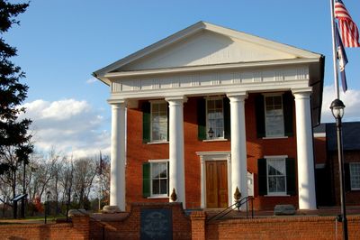
Buckingham County, Rural county in Virginia, United States.

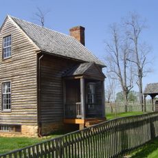
Buckingham County is a rural area in central Virginia characterized by extensive forests that dominate the landscape. The region is crossed by several major highways that connect it to surrounding areas.

The county was established in 1761 from the southeastern portion of Albemarle County and likely named after an English duke. This founding period marked the expansion of European settlement into central Virginia.

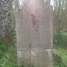
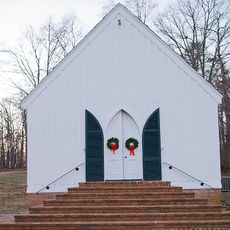
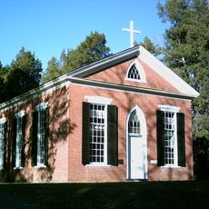
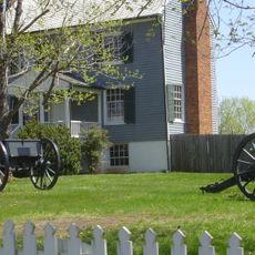
The Trinity Presbyterian Church cemetery holds graves of soldiers from the Civil War era, reflecting the region's connection to this pivotal period in American history.

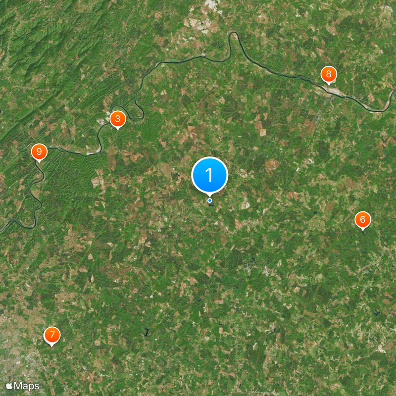
The area lies along several important highways that allow travel through and connections to neighboring regions. Visitors should rely on local road maps for navigation since rural areas sometimes have limited digital connectivity.

This county marks the geographic center of Virginia and is the only one with this name across the entire United States. These two distinctions give it a special place among the state's counties.

The community of curious travelers

AroundUs brings together thousands of curated places, local tips, and hidden gems, enriched daily by 60,000 contributors worldwide.

Start exploring
Location
Inception
1761
Capital city
Buckingham
Shares border with
Fluvanna County, Cumberland County, Prince Edward County, Appomattox County, Nelson County, Albemarle County
GPS coordinates
37.57000,-78.53000
Latest update
December 20, 2025 01:52
Around this place
Appomattox Court House National Historical Park
United States of America

Appomattox Court House National Historical Park

32 km
Yogaville
United States of America

Yogaville

17.4 km
McLean House
United States of America

McLean House

31.9 km
Old Appomattox Court House
United States of America

Old Appomattox Court House

32 km
Bear Creek Lake State Park
United States of America

Bear Creek Lake State Park

23.1 km
Old Appomattox Court House
United States of America

Old Appomattox Court House

31.8 km
Bremo Historic District
United States of America

Bremo Historic District

24.7 km
James River State Park
United States of America

James River State Park

26 km
Holliday Lake State Park
United States of America

Holliday Lake State Park

21.6 km
Appomattox Court House
United States of America

Appomattox Court House

35.2 km
Charles Irving Thornton
United States of America

Charles Irving Thornton

21 km
Locust Grove
United States of America

Locust Grove

17.1 km
United States of America

Appomattox-Buckingham State Forest

26.4 km
United States of America

Willis Mountain

11.9 km
Bon Aire
United States of America

Bon Aire

20.8 km
Bremo Slave Chapel
United States of America

Bremo Slave Chapel

26.2 km
Schuyler Historic District
United States of America

Schuyler Historic District

28.9 km
United States of America

Naked Mountain Natural Area Preserve

33.2 km
United States of America

Chestnut Ridge Natural Area Preserve

19.4 km
Appomattox Court House National Historical Park ruins
United States of America

Appomattox Court House National Historical Park ruins

31.7 km
Jones Law Office
United States of America

Jones Law Office

31.7 km
Grace Church
United States of America

Grace Church

20.2 km
Peers House
United States of America

Peers House

31.7 km
Monticola
United States of America

Monticola

21.8 km
New County Jail
United States of America

New County Jail

31.8 km
Charles Sweeney Cabin
United States of America

Charles Sweeney Cabin

31.7 km
Appomattox River Bridge
United States of America

Appomattox River Bridge

30.9 km
Montezuma
United States of America

Montezuma

25.4 km
Show the full map
« Buckingham County - Rural county in Virginia, United States » is provided by Around Us (aroundus.com). Images and texts are derived from Wikimedia project under a Creative Commons license. You are allowed to copy, distribute, and modify copies of this page, under the conditions set by the license, as long as this note is clearly visible.

Discover hidden gems everywhere you go!

From secret cafés to breathtaking viewpoints, skip the crowded tourist spots and find places that match your style. Our app makes it easy with voice search, smart filtering, route optimization, and insider tips from travelers worldwide. Download now for the complete mobile experience.

Around Us App Screenshot

A unique approach to discovering new places

Le Figaro

All the places worth exploring

France Info

A tailor-made excursion in just a few clicks

20 Minutes

Around Us
Travel Guide & Maps
Download

Send to your phone

QR Code
1

Open the camera app on your mobile.

2

Point at the QR code with your camera. A notification will appear.

3

Tap the notification to open the link.