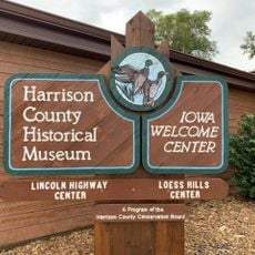
Washington County, Administrative county in eastern Nebraska, United States
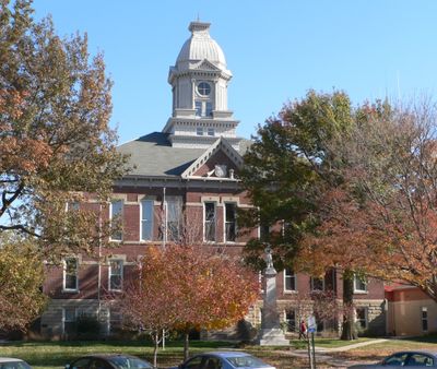
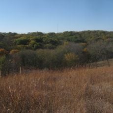
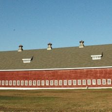
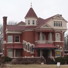
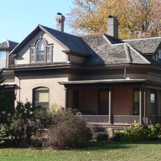
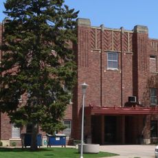
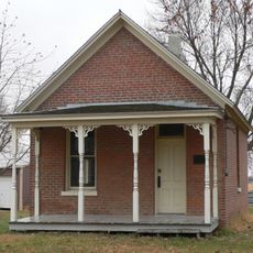
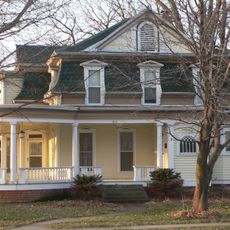
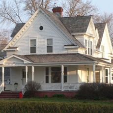
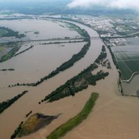
Washington County is a county in eastern Nebraska, covering rolling farmland that reaches toward the Missouri River, which forms the border with Iowa. The county seat is Blair, and most of the area is made up of small towns and rural communities spread across open land.
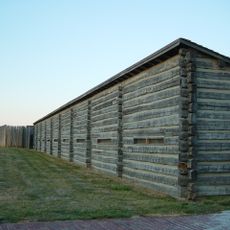
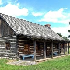
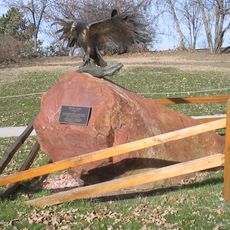
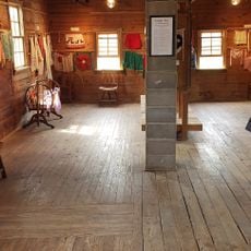
Washington County was created in 1854, when Nebraska was still a territory, making it one of the first administrative divisions in the region. Before the county existed, Fort Atkinson had stood nearby in the 1820s as one of the earliest permanent US military posts west of the Mississippi.
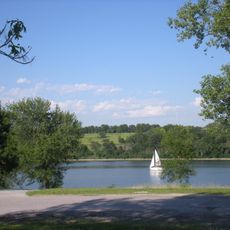
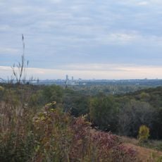
The Boyer Chute National Wildlife Refuge, along the Missouri River, gives visitors a sense of what the original floodplain looked like before farming reshaped the land. Walking its trails, you can see native plants and wildlife in a setting that has become rare along this stretch of the river.
A car is the easiest way to get around, as the towns are spread out and public transport is very limited. Spring and summer are good times to visit natural areas like Boyer Chute, when trails are open and the land is easier to explore.
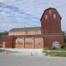
South of Blair, a small commercial nuclear power plant once operated and was considered the smallest of its kind in North America. It shut down in 2016, leaving behind an unexpected piece of industrial history in an otherwise rural county.
The community of curious travelers
AroundUs brings together thousands of curated places, local tips, and hidden gems, enriched daily by 60,000 contributors worldwide.