Stanton County

Log in to your account

AroundUs is a community-driven map of interesting places, built by curious explorers like you. It grows with every review, story, and photo you share.
Connect to save your favorite spots, contribute locations, and create personalized routes.
Continue with Google
Continue with Apple
Continue with X
Continue with Facebook
Continue with email
By continuing, you accept our Terms and Conditions and our Privacy Policy
Create an account
Add to collection
Map
Suggest a change
Share

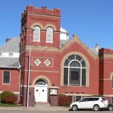
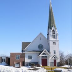
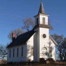
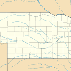
Stanton County, County in eastern Nebraska, United States

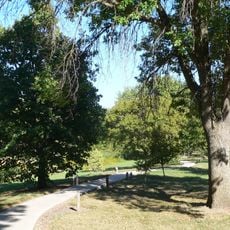
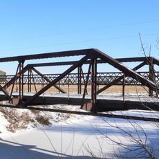
Stanton County is an administrative division in eastern Nebraska with rolling terrain and farmland throughout. The Elkhorn River flows through the central area, shaping the local landscape.

The area was established as Izard County in 1856 but was renamed six years later to honor Edwin M. Stanton, the Secretary of War under President Lincoln. This change reflected the region's development during America's Civil War era.

Agriculture shapes daily life here, with farms and fields visible across the entire region. This farming tradition remains central to how people in the county live and work.

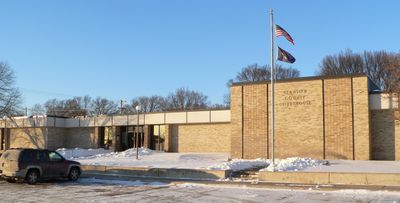
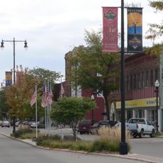
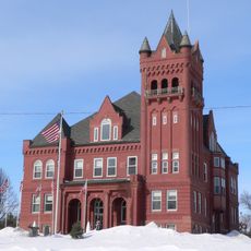
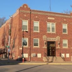
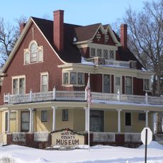
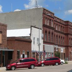
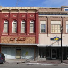
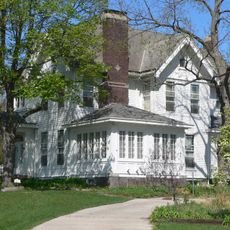
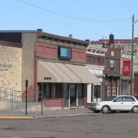
The town of Stanton serves as the administrative hub and offers basic services to visitors and residents. U.S. Route 275 and several state highways provide good road connections throughout the area.

With a low population density of about 15 people per square mile, settlements are spread far apart across the county. This creates wide open spaces that define the rural character visitors encounter here.

Location: Nebraska

Inception: 1865

Capital city: Stanton

Shares border with: Wayne County, Colfax County, Platte County, Madison County, Pierce County, Cuming County

GPS coordinates: 41.92000,-97.19000

Latest update: December 10, 2025 15:52

Photos
Around this place
Norfolk
United States of America

Norfolk

22.3 km
Cowboy Trail
United States of America

Cowboy Trail

21.7 km
Saint Leonard Catholic Church
United States of America

Saint Leonard Catholic Church

24.2 km
Christ the King Priory
United States of America

Christ the King Priory

47.1 km
First United Presbyterian Church
United States of America

First United Presbyterian Church

24.2 km
Gilman Park Arboretum
United States of America

Gilman Park Arboretum

41.4 km
Swedish Evangelical Lutheran Salem Church
United States of America

Swedish Evangelical Lutheran Salem Church

47.2 km
Zion Presbyterian Church
United States of America

Zion Presbyterian Church

28.4 km
Wayne County Courthouse
United States of America

Wayne County Courthouse

37.7 km
Clarkson Opera House
United States of America

Clarkson Opera House

22.5 km
Norfolk Community Theatre
United States of America

Norfolk Community Theatre

22.1 km
Dr. W.C. Wightman House
United States of America

Dr. W.C. Wightman House

37.8 km
West Point City Auditorium
United States of America

West Point City Auditorium

40.5 km
Norfolk Carnegie Library
United States of America

Norfolk Carnegie Library

22.6 km
Thurston County Courthouse
United States of America

Thurston County Courthouse

45.3 km
Schneider's Opera House
United States of America

Schneider's Opera House

41.2 km
St. Michael's Catholic Church
United States of America

St. Michael's Catholic Church

42.7 km
Warrick House
United States of America

Warrick House

46.8 km
First Thurston County Courthouse
United States of America

First Thurston County Courthouse

45.4 km
Stubbs–Ballah House
United States of America

Stubbs–Ballah House

23.1 km
Wayne Commercial Historic District
United States of America

Wayne Commercial Historic District

37.4 km
Humphrey City Hall
United States of America

Humphrey City Hall

35.4 km
Mathewson–Gerecke House
United States of America

Mathewson–Gerecke House

23.1 km
Distrito electoral de Valley (condado de Madison, Nebraska)
United States of America

Distrito electoral de Valley (condado de Madison, Nebraska)

31.3 km
NCRC Elkhorn River Bridge
United States of America

NCRC Elkhorn River Bridge

23 km
Meridian Highway Bridge
United States of America

Meridian Highway Bridge

38.9 km
Meridian Highway North Fork Bridge
United States of America

Meridian Highway North Fork Bridge

37.7 km
Logan Creek Bridge
United States of America

Logan Creek Bridge

45.8 km
Show the full map
Reviews

Visited this place? Tap the stars to rate it and share your experience / photos with the community! Try now! You can cancel it anytime.

Administrative divisions
« Stanton County - County in eastern Nebraska, United States » is provided by Around Us (aroundus.com). Images and texts are derived from Wikimedia project under a Creative Commons license. You are allowed to copy, distribute, and modify copies of this page, under the conditions set by the license, as long as this note is clearly visible.

Discover hidden gems everywhere you go!

From secret cafés to breathtaking viewpoints, skip the crowded tourist spots and find places that match your style. Our app makes it easy with voice search, smart filtering, route optimization, and insider tips from travelers worldwide. Download now for the complete mobile experience.

Around Us App Screenshot

A unique approach to discovering new places

Le Figaro

All the places worth exploring

France Info

A tailor-made excursion in just a few clicks

20 Minutes