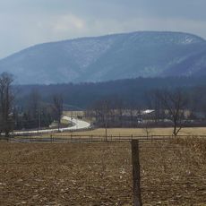
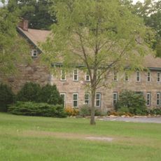
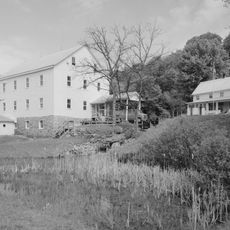
Appalachian Plateau, Physiographic province in Pennsylvania, United States
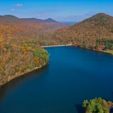
The Appalachian Plateau extends from New York to Alabama, displaying steep slopes, deep valleys, and horizontal sedimentary rock layers across multiple states. The landscape features rounded mountains that spread across hundreds of miles with countless rivers and streams carving through the terrain.
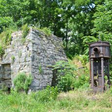
The plateau formed during the Paleozoic Era through regional uplift and was later shaped by erosion and glaciation. These geological processes over millions of years created the diverse landscape with its characteristic valleys and ridges seen today.
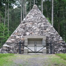
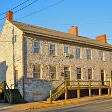
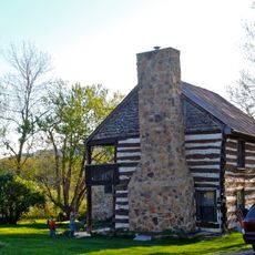
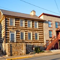
Indigenous peoples inhabited this region for thousands of years, as shown by archaeological sites like Meadowcroft Rockshelter in Pennsylvania. The residents used the forests and water sources to sustain their communities across the rolling terrain.
The region is crossed by numerous hiking trails and mountain paths that wind through forests and along rivers. Visitors can enjoy outdoor activities throughout the year, with fall and spring offering the most comfortable conditions for exploration.
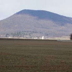
Elevation ranges from over 1,500 meters in West Virginia to under 300 meters in Alabama, creating distinct forest types and wildlife zones across the height ranges. These differences in height produce visible changes in plant life as visitors travel from north to south.
The community of curious travelers
AroundUs brings together thousands of curated places, local tips, and hidden gems, enriched daily by 60,000 contributors worldwide.