Statesville

Log in to your account

AroundUs is a community-driven map of interesting places, built by curious explorers like you. It grows with every review, story, and photo you share.
Connect to save your favorite spots, contribute locations, and create personalized routes.
Continue with Google
Continue with Apple
Continue with X
Continue with Facebook
Continue with email
By continuing, you accept our Terms and Conditions and our Privacy Policy
Create an account
Add to collection
Map
Suggest a change
Share

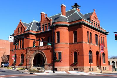
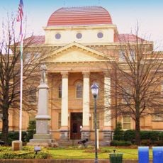
Statesville, County seat in Charlotte metropolitan area, United States.

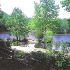
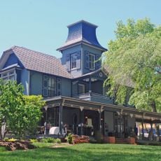
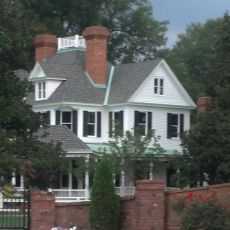
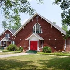
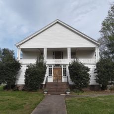
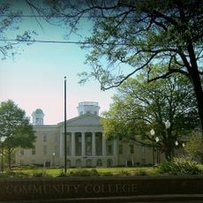
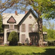
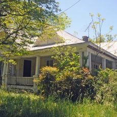
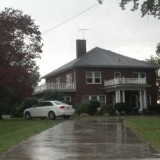
Statesville is a city in North Carolina located at the intersection of major highways, featuring a mixed development of residential, commercial, and industrial areas throughout its boundaries. The city spreads along waterways and contains neighborhoods ranging from older to newer sections.

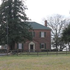
The settlement was established in 1753 when Scots-Irish Presbyterians and German Lutherans from Pennsylvania arrived and founded communities in the area. The region gained early importance as a trading and defense point along the frontier.

The city serves as a hub for local artisans and craftspeople who display their work in galleries and markets throughout the area. Visitors can see traditional skills and creativity reflected in the shops and events held regularly.

The city has a dense local street network that connects pedestrians well between business and residential areas. Visitors should expect ample parking and will find various shopping and dining options scattered throughout different neighborhoods.

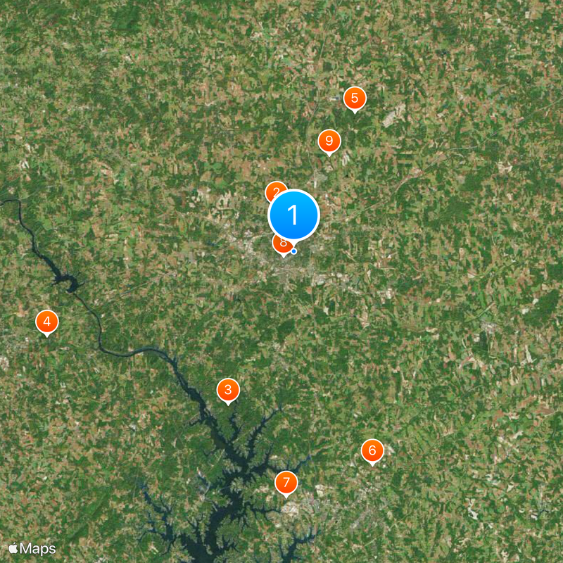
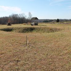
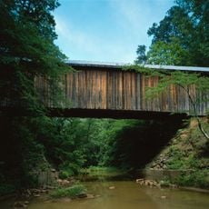
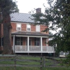
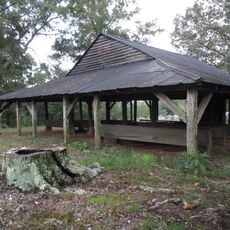
About three kilometers north sits Fort Dobbs, a preserved military fort from the mid-1700s that served as a defensive point during early regional conflicts. The site offers insights into daily life during that period and displays original architecture from the era.

Location: Iredell County

Location: Charlotte metropolitan area

Inception: 1753

Elevation above the sea: 280 m

Website: https://statesvillenc.net

GPS coordinates: 35.78667,-80.87861

Latest update: December 14, 2025 18:30

Photos
Around this place
Fort Dobbs
United States of America

Fort Dobbs

4.2 km
Lake Norman State Park
United States of America

Lake Norman State Park

14.3 km
Bunker Hill Covered Bridge
United States of America

Bunker Hill Covered Bridge

22.6 km
Allison Woods
United States of America

Allison Woods

13.2 km
A2 wind tunnel
United States of America

A2 wind tunnel

19.7 km
Johnson-Neel House
United States of America

Johnson-Neel House

21.2 km
Iredell County Courthouse
United States of America

Iredell County Courthouse

976 m
Ebenezer Academy, Bethany Presbyterian Church and Cemetery
United States of America

Ebenezer Academy, Bethany Presbyterian Church and Cemetery

8.9 km
Congregation Emanuel
United States of America

Congregation Emanuel

1.2 km
St. Philip's Roman Catholic Church
United States of America

St. Philip's Roman Catholic Church

1.7 km
Academy Hill Historic District
United States of America

Academy Hill Historic District

1.5 km
Espy Watts Brawley House
United States of America

Espy Watts Brawley House

21.9 km
Morrison-Mott House
United States of America

Morrison-Mott House

1.1 km
Wood Grove
United States of America

Wood Grove

21.9 km
Center Street A.M.E. Zion Church
United States of America

Center Street A.M.E. Zion Church

1.1 km
Damascus Baptist Church Arbor
United States of America

Damascus Baptist Church Arbor

18.8 km
United States Post Office and County Courthouse
United States of America

United States Post Office and County Courthouse

898 m
Col. Silas Alexander Sharpe House
United States of America

Col. Silas Alexander Sharpe House

975 m
Snow Creek Methodist Church and Burying Ground
United States of America

Snow Creek Methodist Church and Burying Ground

14.3 km
Christ Episcopal Church
United States of America

Christ Episcopal Church

20.2 km
Bethesda Presbyterian Church
United States of America

Bethesda Presbyterian Church

9.9 km
Main Building, Mitchell College
United States of America

Main Building, Mitchell College

1.5 km
East Broad Street-Davie Avenue Historic District
United States of America

East Broad Street-Davie Avenue Historic District

411 m
South Race Street Historic District
United States of America

South Race Street Historic District

2.4 km
Statesville Commercial Historic District
United States of America

Statesville Commercial Historic District

2.4 km
McElwee Houses
United States of America

McElwee Houses

803 m
Rankin-Sherrill House
United States of America

Rankin-Sherrill House

19.8 km
John Carlyle and Anita Sherrill House
United States of America

John Carlyle and Anita Sherrill House

19.8 km
Show the full map
Reviews

Visited this place? Tap the stars to rate it and share your experience / photos with the community! Try now! You can cancel it anytime.

« Statesville - County seat in Charlotte metropolitan area, United States » is provided by Around Us (aroundus.com). Images and texts are derived from Wikimedia project under a Creative Commons license. You are allowed to copy, distribute, and modify copies of this page, under the conditions set by the license, as long as this note is clearly visible.

Discover hidden gems everywhere you go!

From secret cafés to breathtaking viewpoints, skip the crowded tourist spots and find places that match your style. Our app makes it easy with voice search, smart filtering, route optimization, and insider tips from travelers worldwide. Download now for the complete mobile experience.

Around Us App Screenshot

A unique approach to discovering new places

Le Figaro

All the places worth exploring

France Info

A tailor-made excursion in just a few clicks

20 Minutes