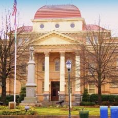
Iredell County, County in western North Carolina, United States.
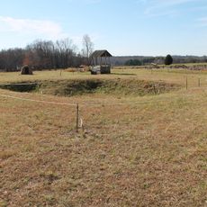
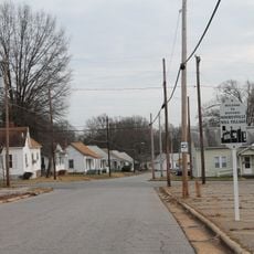
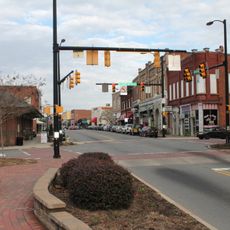
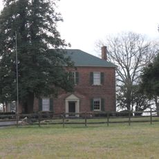
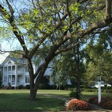
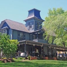
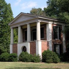
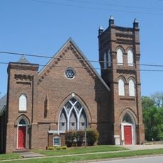
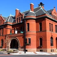
Iredell County spreads across western North Carolina and includes the administrative city of Statesville plus sixteen other townships. The area contains residential neighborhoods, farmland, and smaller town centers.
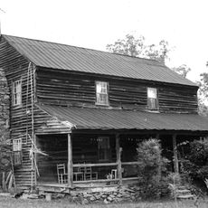
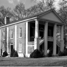
This county was established in 1788 as one of North Carolina's original administrative divisions. Its creation reflected the state's early efforts to organize local government.
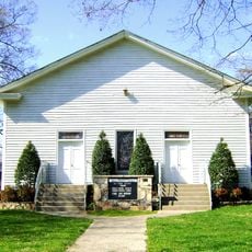
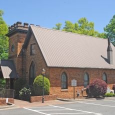
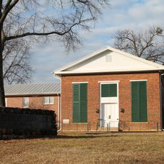
Each township has its own local traditions and community spaces where residents gather regularly. These differences shape how life feels from one area to another.
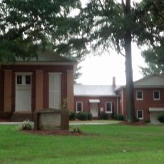
The county provides public services including mapping resources, animal control, and parks management for visitors and residents. Most services operate during standard business hours and are designed for local community needs.
The county is home to Love Valley, an unusual village where automobiles are banned and horses serve as the main transport on main streets. This creates a rare example of a horse-friendly community.
The community of curious travelers
AroundUs brings together thousands of curated places, local tips, and hidden gems, enriched daily by 60,000 contributors worldwide.