Enable Location

We need your location to show you interesting places around you

Discover nearby places

Find interesting locations and hidden gems around you

Precise directions

Get accurate directions and distances to places

Your location is never shared with other users. It's only used when you tap the location button.

Arcola

Log in to your account

Start exploring — it's free

Trusted by 63,025 travelers worldwide

Continue with Google
Continue with Apple
or

We will send you a code to connect

By continuing, you accept our Terms and Conditions and our Privacy Policy

Check your inbox

We've sent a pincode in your inbox. Please enter the code below.

Discussion Reviews 1 Photos
11k Popularity

Arcola, Administrative region in Illinois, United States.

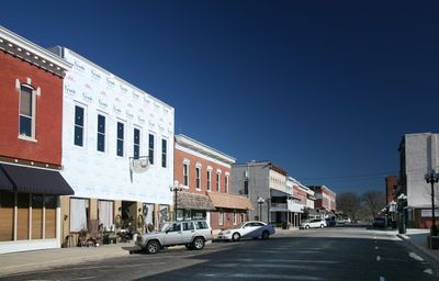
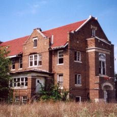
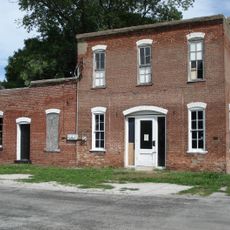
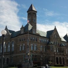
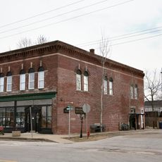
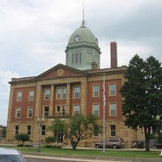
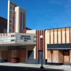
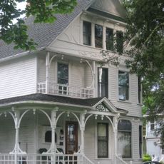
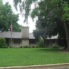
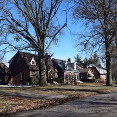
Arcola is a small city in Douglas County, Illinois, with residential areas and local businesses spread throughout its compact center. The town features tree-lined streets, a downtown area with shops and services, and nearby farm communities.

The Illinois Central Railroad established Arcola in 1855 as a railroad stop, naming it after Arcole in Italy. The arrival of the railroad transformed the area into a growing settlement with trade and agricultural commerce.

The community celebrates its farming heritage through local events and gatherings that bring residents together throughout the year. Visitors can see how the town honors its agricultural roots in daily life and public spaces.

The town is easily reached by car and offers plenty of parking in the downtown area. Spring and fall are good times to visit when the weather is pleasant and local events are happening.

A large public art installation created by a local artist stands downtown as an expression of community creativity. The work has become a gathering spot where locals and visitors often stop to view and photograph it.

The community of curious travelers

AroundUs brings together thousands of curated places, local tips, and hidden gems, enriched daily by 60,000 contributors worldwide.

Start exploring
GPS coordinates
39.68476,-88.30644
Latest update
December 8, 2025 13:43
Around this place
Ashmore Estates
United States of America

Ashmore Estates

28 km
Airtight Bridge
United States of America

Airtight Bridge

23.6 km
Voorhies Castle
United States of America

Voorhies Castle

31 km
Pemberton Hall
United States of America

Pemberton Hall

25 km
Old Main
United States of America

Old Main

25 km
Health Education Building
United States of America

Health Education Building

25.2 km
Stone Quarry Bridge
United States of America

Stone Quarry Bridge

24.8 km
Streibich Blacksmith Shop
United States of America

Streibich Blacksmith Shop

31.4 km
Coles County Courthouse
United States of America

Coles County Courthouse

24 km
National Museum of Ship Models and Sea History
United States of America

National Museum of Ship Models and Sea History

31.6 km
Moultrie County Courthouse
United States of America

Moultrie County Courthouse

27.7 km
Alexander Briggs House
United States of America

Alexander Briggs House

23.9 km
Arcola Carnegie Public Library
United States of America

Arcola Carnegie Public Library

327 m
Dr. Hiram Rutherford House and Office
United States of America

Dr. Hiram Rutherford House and Office

24.2 km
Unity Church
United States of America

Unity Church

23.3 km
Harrison Street Bridge
United States of America

Harrison Street Bridge

27.4 km
United States Post Office (Mattoon, Illinois)
United States of America

United States Post Office (Mattoon, Illinois)

23.4 km
Richland County Courthouse
United States of America

Richland County Courthouse

19.6 km
Douglas County Courthouse
United States of America

Douglas County Courthouse

12.5 km
Will Rogers Theatre
United States of America

Will Rogers Theatre

23.9 km
McFarland House
United States of America

McFarland House

24.5 km
Burgess-Osborne Memorial Auditorium
United States of America

Burgess-Osborne Memorial Auditorium

23.5 km
Blakeman Bridge
United States of America

Blakeman Bridge

28.8 km
Richard Roytek House
United States of America

Richard Roytek House

23.6 km
Sixth, Seventh, and Tenth Street Stone Arch Bridges
United States of America

Sixth, Seventh, and Tenth Street Stone Arch Bridges

24.2 km
Lumpkin Heights and Elm Ridge Subdivision Historic District
United States of America

Lumpkin Heights and Elm Ridge Subdivision Historic District

23.2 km
Two-Story Outhouse
United States of America

Two-Story Outhouse

29.9 km
Gays Water Tower
United States of America

Gays Water Tower

30.1 km
Show the full map
Reviews
Share your experience

No review yet

Discussions
Start a discussion...

No discussion yet

« Arcola - Administrative region in Illinois, United States » is provided by Around Us (aroundus.com). Images and texts are derived from Wikimedia project under a Creative Commons license. You are allowed to copy, distribute, and modify copies of this page, under the conditions set by the license, as long as this note is clearly visible.

Discover hidden gems everywhere you go!

From secret cafés to breathtaking viewpoints, skip the crowded tourist spots and find places that match your style. Our app makes it easy with voice search, smart filtering, route optimization, and insider tips from travelers worldwide. Download now for the complete mobile experience.

Around Us App Screenshot

A unique approach to discovering new places

Le Figaro

All the places worth exploring

France Info

A tailor-made excursion in just a few clicks

20 Minutes

Around Us
Travel Guide & Maps
Download

Send to your phone

QR Code
1

Open the camera app on your mobile.

2

Point at the QR code with your camera. A notification will appear.

3

Tap the notification to open the link.