Ashburnham, town in Worcester County, Massachusetts, United States
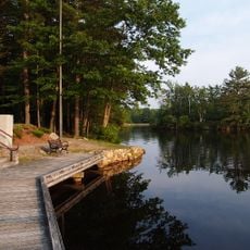
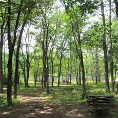
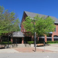
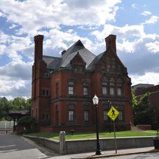
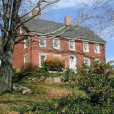
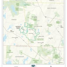
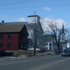
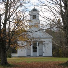
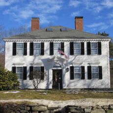
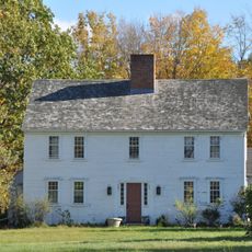
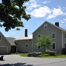
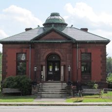
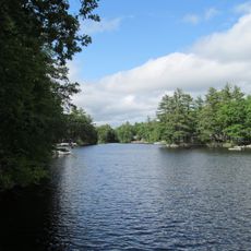
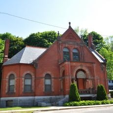
Ashburnham is a small town in Worcester County, Massachusetts, with wide open landscapes mixed with forests and hills. The town covers about 41 square kilometers and features old houses, lakes, and rivers spread throughout the area.
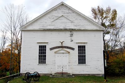
The town was first settled in 1736 and officially established in 1765, beginning as a grant of land to soldiers and officers from a military expedition. The railroad arrived in the 1800s, connecting the town to regional commerce and growth.
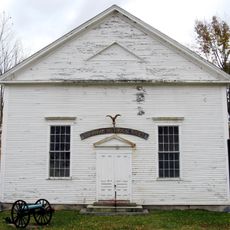
The name comes from Britain and reflects the town's colonial roots and heritage. Local traditions like community gatherings and festivals show how residents maintain connections to their past while building modern life together.
The town is accessible by car via Routes 12, 101, and 119 that connect to nearby areas and larger cities. Bus services are available, and visitors should allow time to explore the local trails, parks, and natural areas on foot.
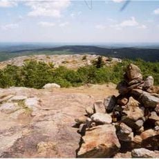
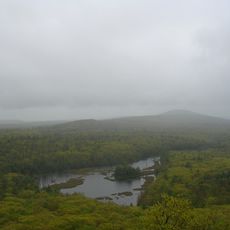
Ivers Whitney Adams, who helped start baseball in Boston, came from this town, as did actress Bette Davis who attended school here. The Wapack Trail also begins in the area, drawing hikers who want to explore ridgelines and forests across multiple towns.
The community of curious travelers
AroundUs brings together thousands of curated places, local tips, and hidden gems, enriched daily by 60,000 contributors worldwide.