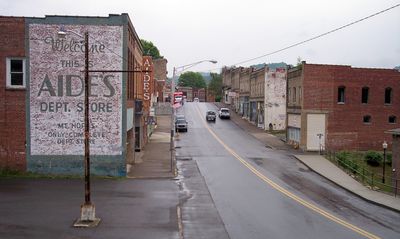
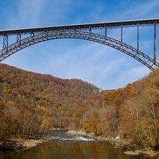
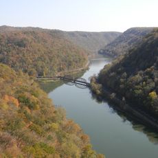
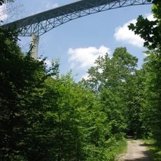
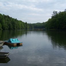
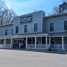
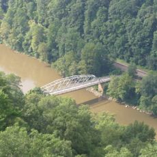
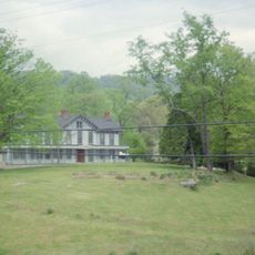
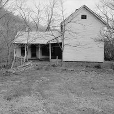
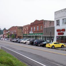
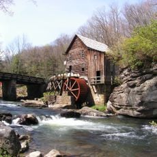
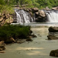
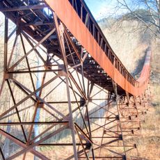
Mount Hope, city in West Virginia
Location: Fayette County
Elevation above the sea: 525 m
GPS coordinates: 37.89250,-81.16778
Latest update: March 11, 2025 08:04
New River Gorge Bridge
21 km
Hawks Nest State Park
25.8 km
Babcock State Park
20.6 km
Phil G. McDonald Bridge
17.7 km
Tamarack Marketplace
11 km
Little Beaver State Park
17 km
Phillips-Sprague Mine
12.3 km
Tunney Hunsaker Bridge
20.8 km
Bank of Glen Jean
4.1 km
Page-Vawter House
27.8 km
Camp Washington-Carver Complex
21.7 km
Wildwood
13.6 km
Beckley Courthouse Square Historic District
13 km
Contentment
27.6 km
E. B. Hawkins House
18.8 km
Fayetteville Historic District
18.5 km
Mount Hope Historic District
2 m
Fayette County Courthouse
18.8 km
Trump-Lilly Farmstead
31.9 km
New River Company General Office Building
475 m
Sophia Historic District
21.7 km
Dr. John Hughart House
22.3 km
Glade Creek Grist Mill
21.7 km
Fayette Station Road
21 km
Sandstone Falls
27.5 km
Camp Brookside Environmental Education Center
30.9 km
Nuttall Coal Mine Conveyor
20.9 km
Thurmond Historic District
10.8 kmVisited this place? Tap the stars to rate it and share your experience / photos with the community! Try now! You can cancel it anytime.
Discover hidden gems everywhere you go!
From secret cafés to breathtaking viewpoints, skip the crowded tourist spots and find places that match your style. Our app makes it easy with voice search, smart filtering, route optimization, and insider tips from travelers worldwide. Download now for the complete mobile experience.
A unique approach to discovering new places❞
— Le Figaro
All the places worth exploring❞
— France Info
A tailor-made excursion in just a few clicks❞
— 20 Minutes