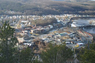
Bellows Falls, village in Rockingham, Vermont, United States
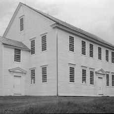
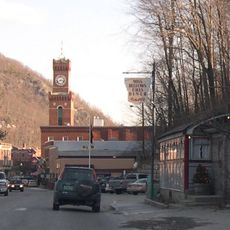
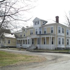
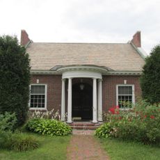
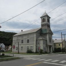
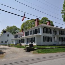
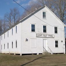
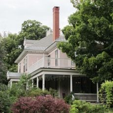
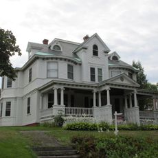
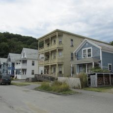
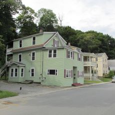
Bellows Falls is a small village on the Connecticut River in Vermont with a history dating back to the early 1800s. The town offers old buildings, including a restored opera house with a 1926 clock tower, a grist mill museum, shops, restaurants, and walking trails along the river.
The town was founded in the early 1800s and was home to one of the first canals in the United States, built to bypass the Connecticut River waterfalls. From a busy trading and industrial center, the village has evolved into a place that draws visitors and people who value small-town life.
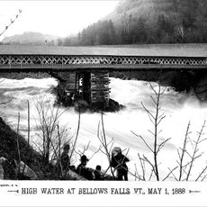
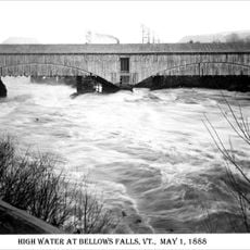
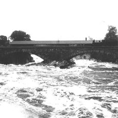
Bellows Falls takes its name from the Connecticut River waterfalls that once shaped the town's life and economy. Residents are proud of their community and warmly welcome visitors to participate in local events and festivals, especially during the colorful seasons.
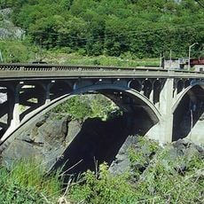
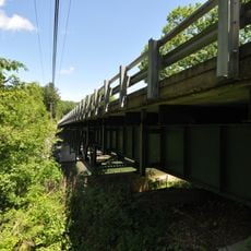
The village is easily walkable with open streets for exploring, offering plenty of opportunities to stroll along the river and visit parks. There is a train station with Amtrak connections and local transportation options like buses and shuttles that make it easy for visitors to move around.
The Vermonter train dips under the main street and disappears into a tunnel, a rare sight for rail travelers passing through. Additionally, the town is home to a historic fish ladder on the Connecticut River that shows visitors how the community connects nature and human development.
The community of curious travelers
AroundUs brings together thousands of curated places, local tips, and hidden gems, enriched daily by 60,000 contributors worldwide.